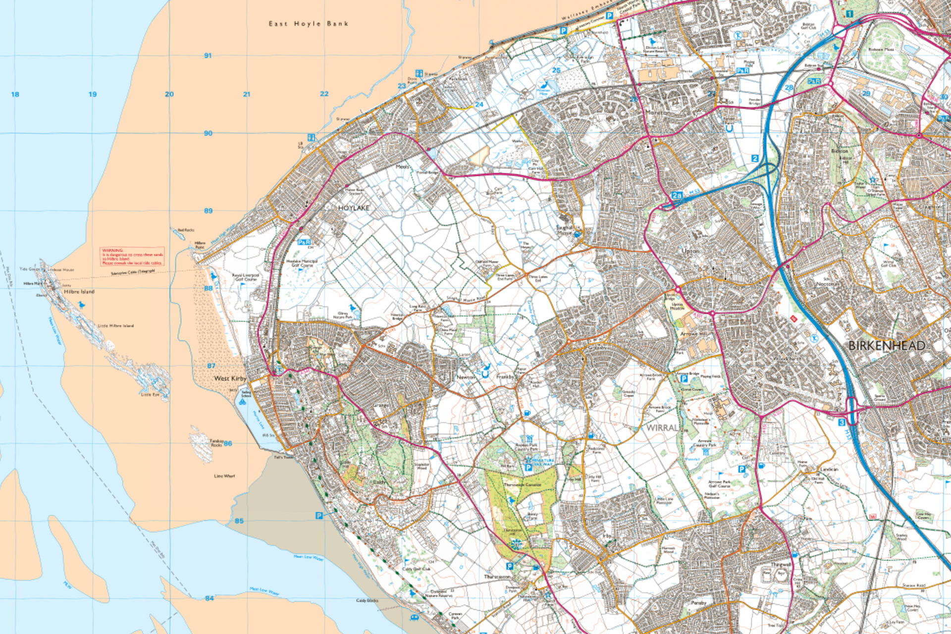
SJ 190 870 - Between the islands
SJ 190 880 - East of Hilbre Island

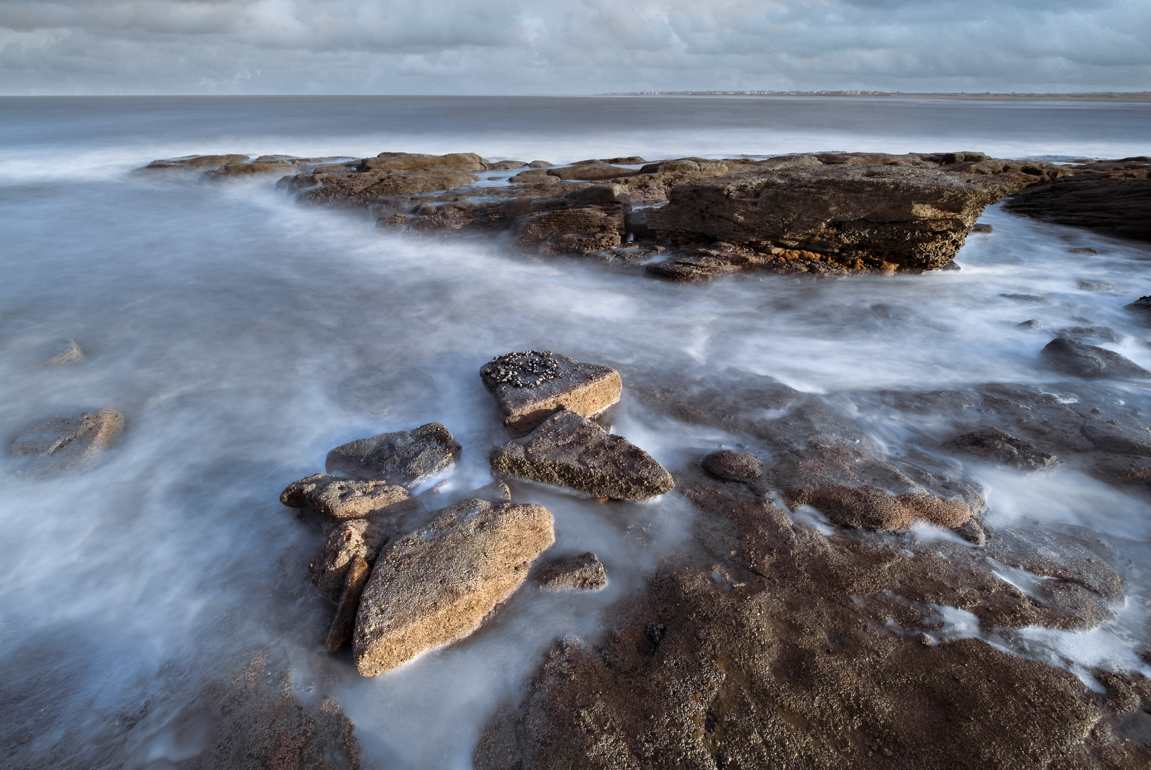
SJ 200 860 - Tanskey Rocks
SJ 200 870 - near Little Eye

SJ 200 880 - West of Hoylake
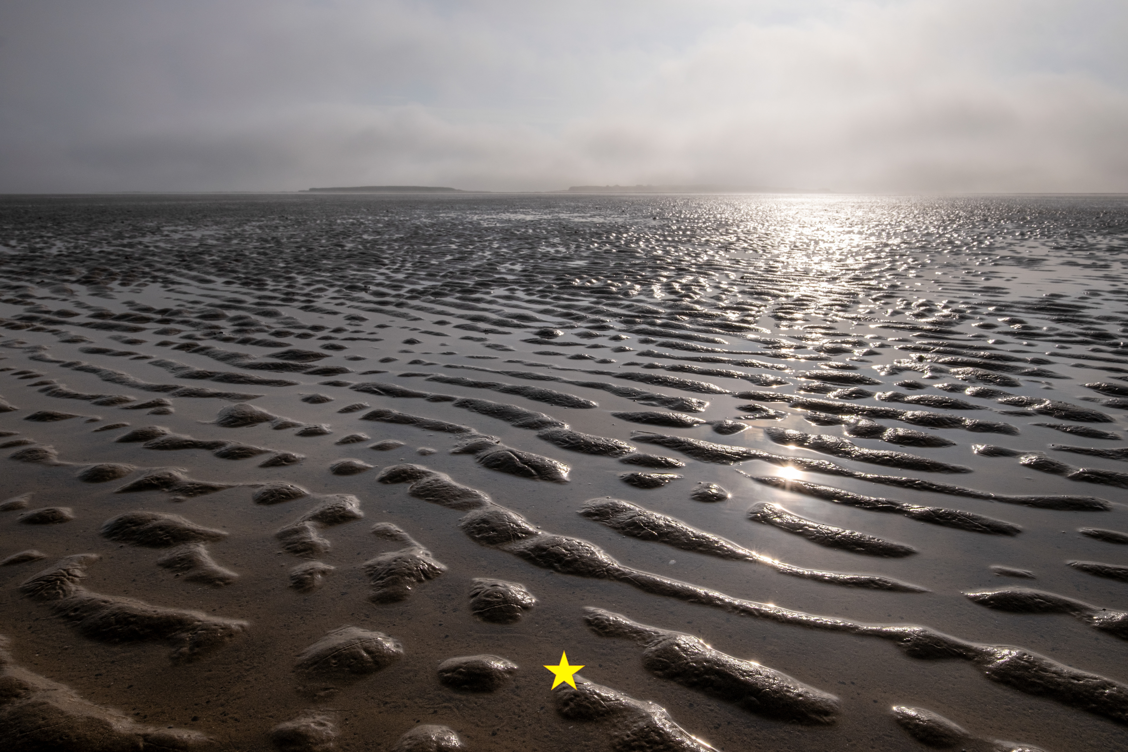
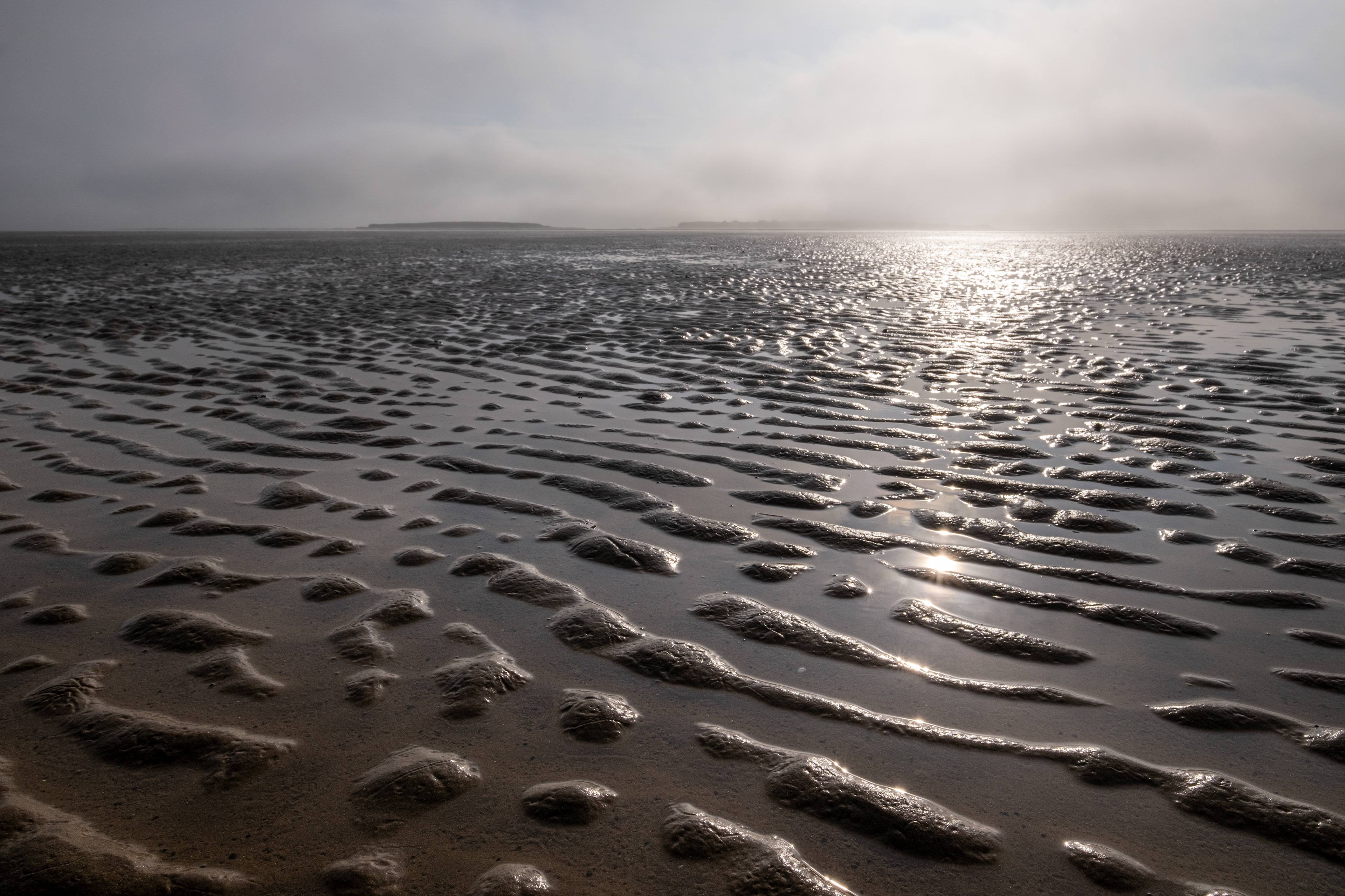
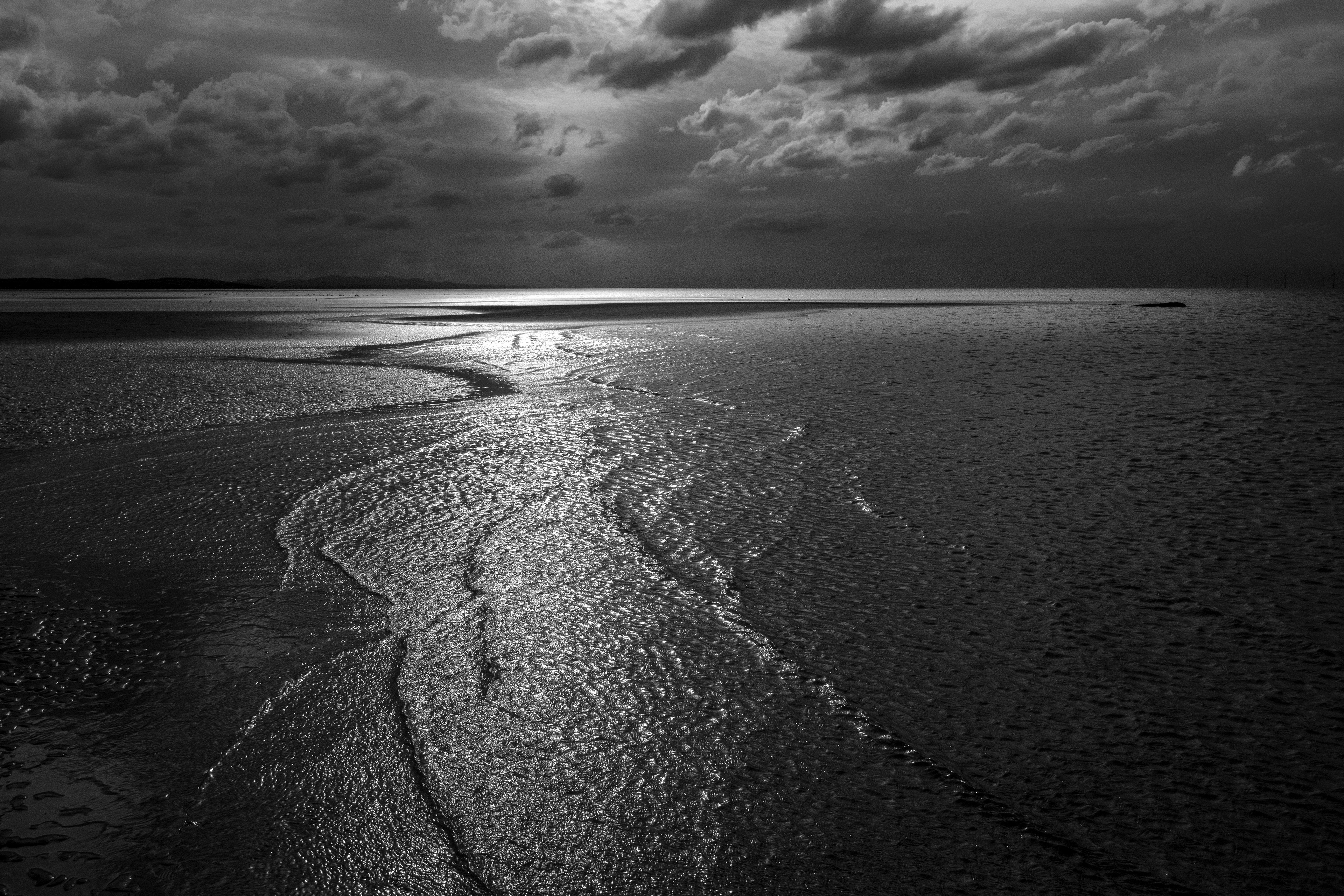
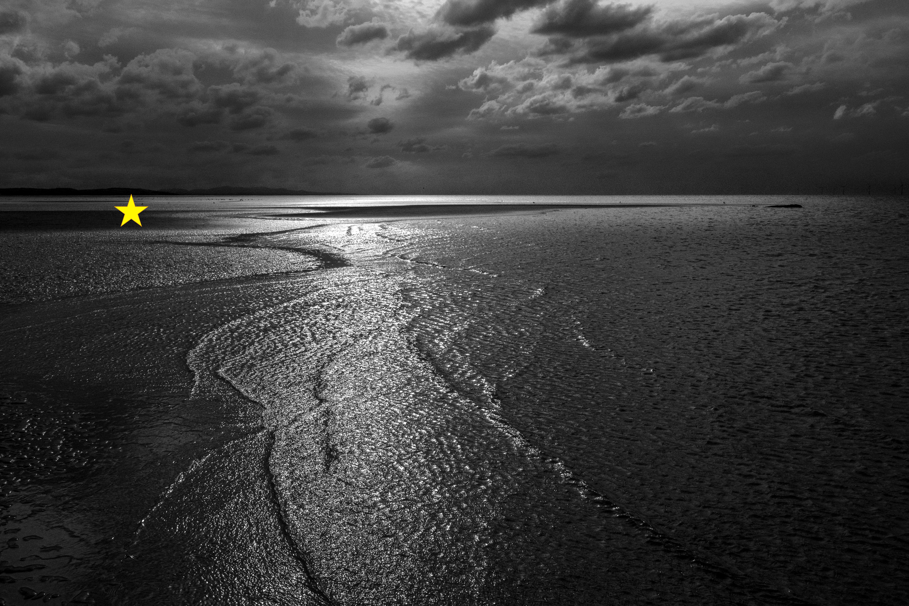
SJ 200 890 - Beyond Red Rocks
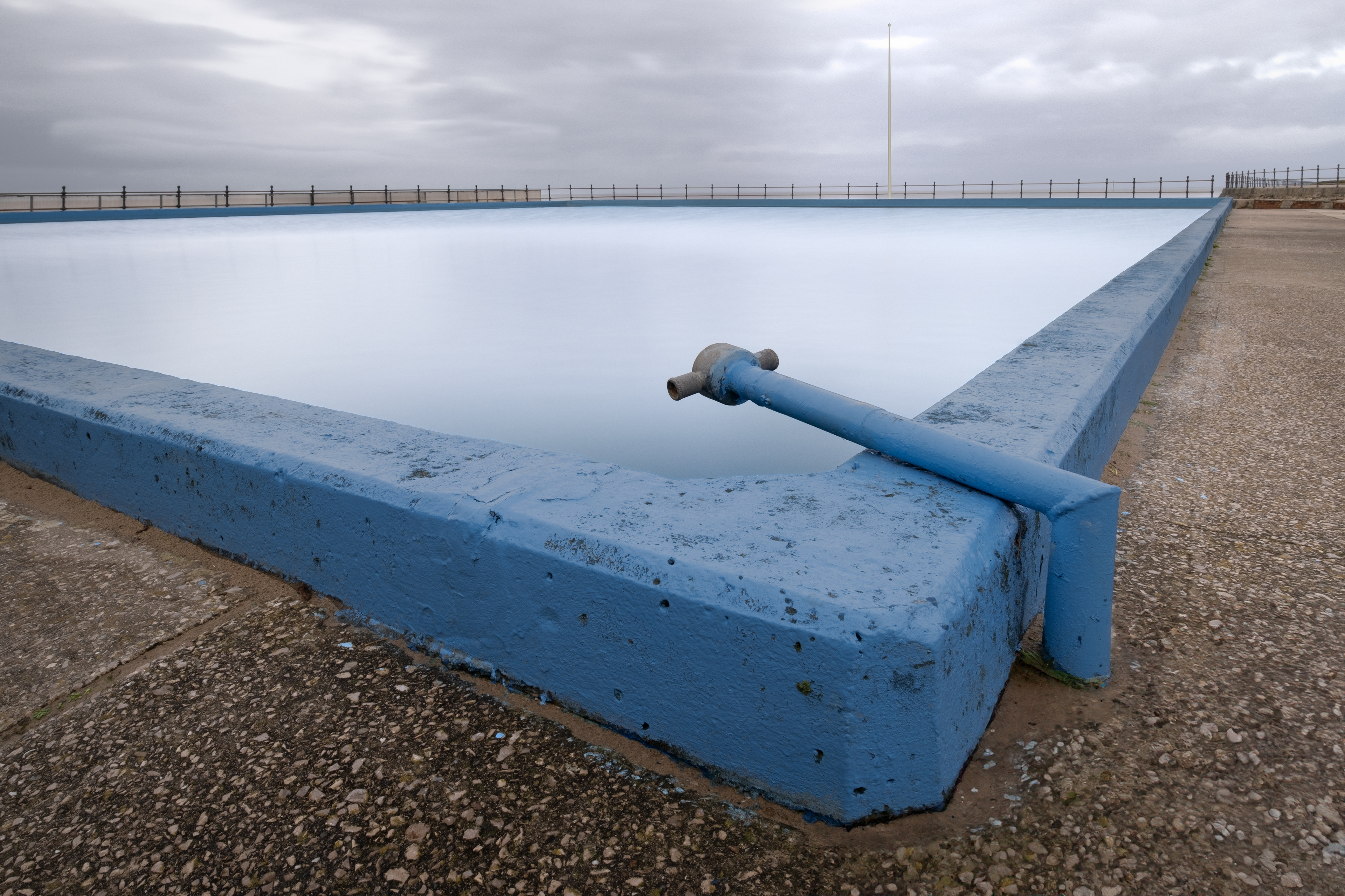
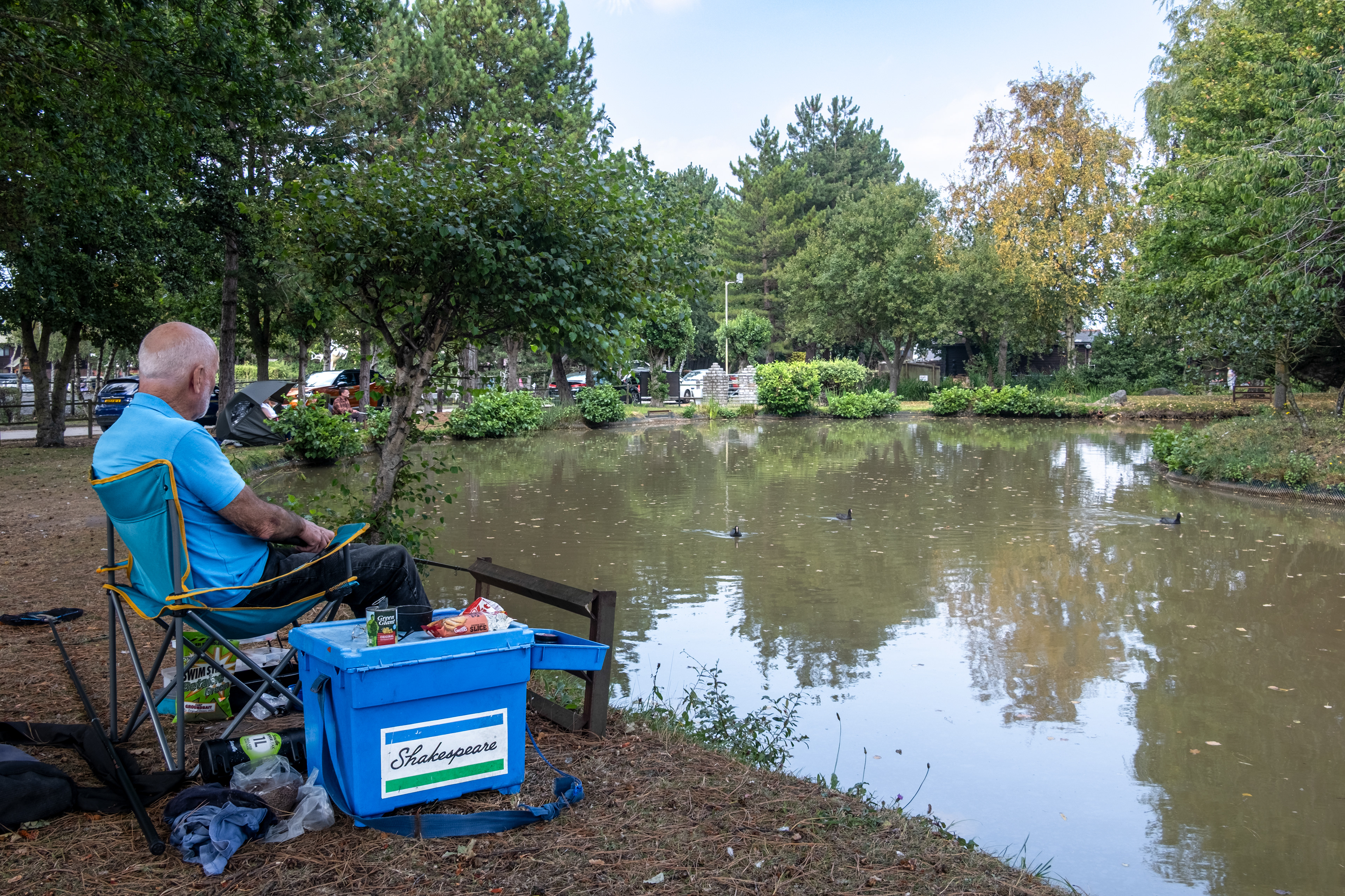
SJ 210 860 - West Kirby Marine Lake
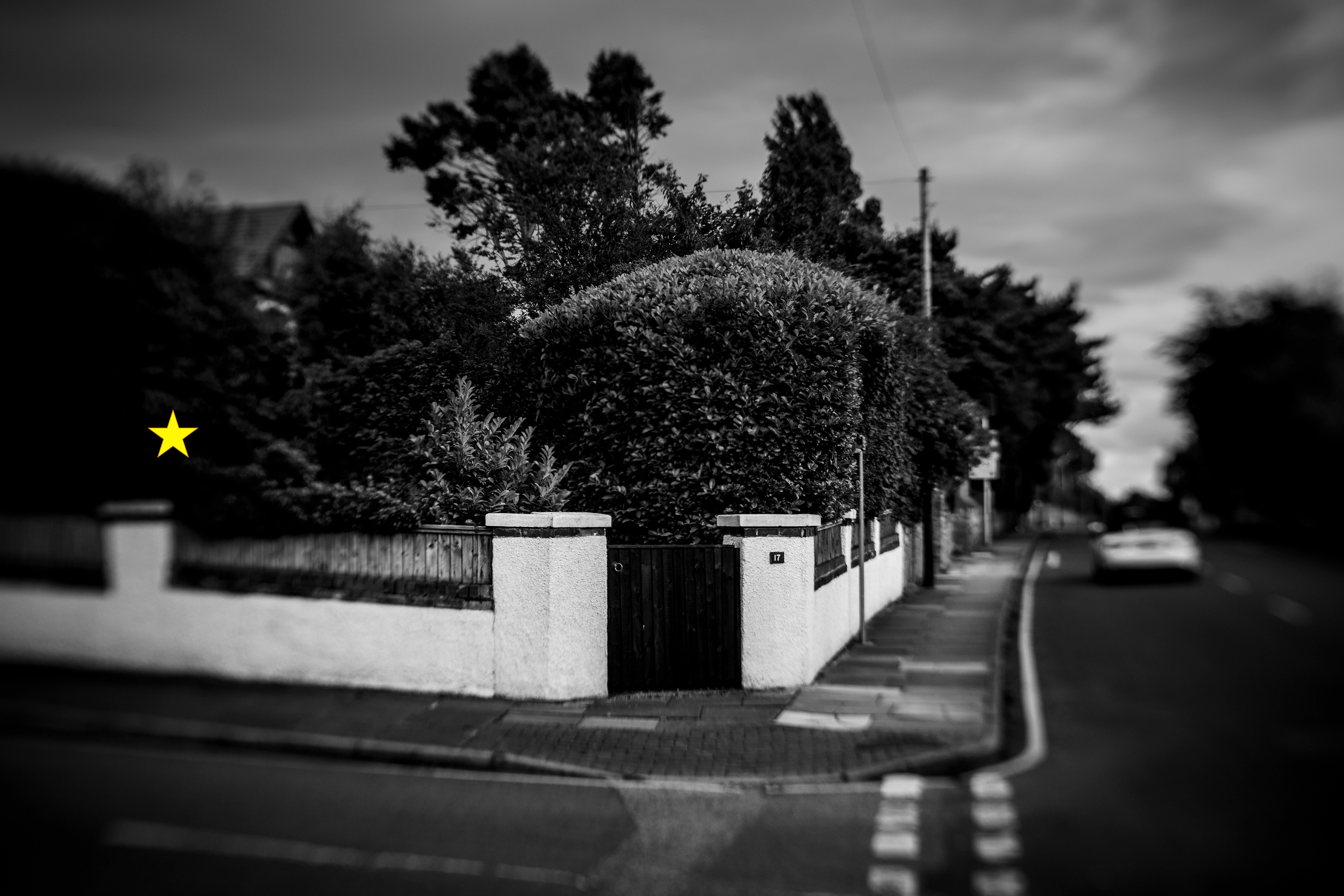
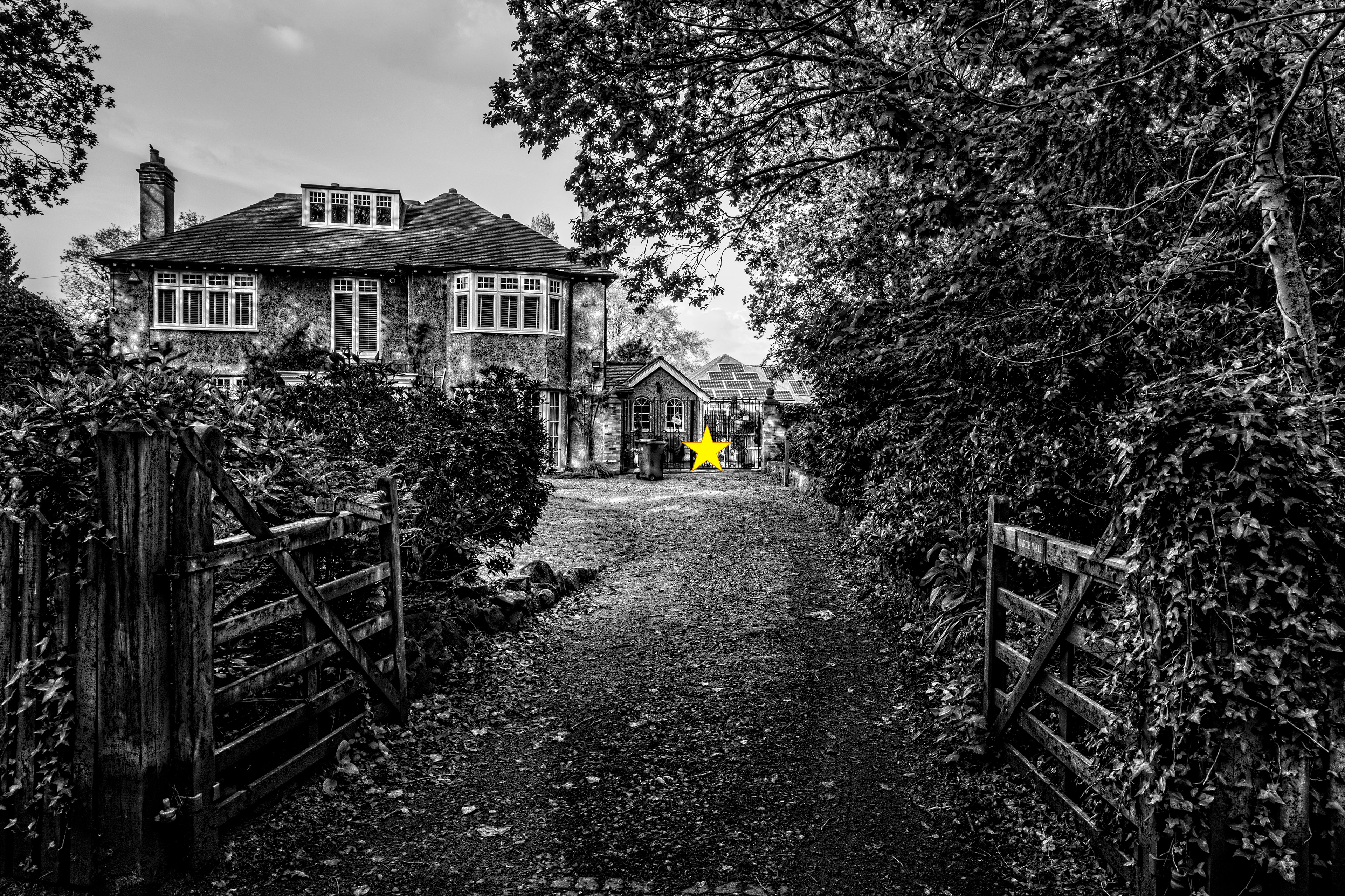
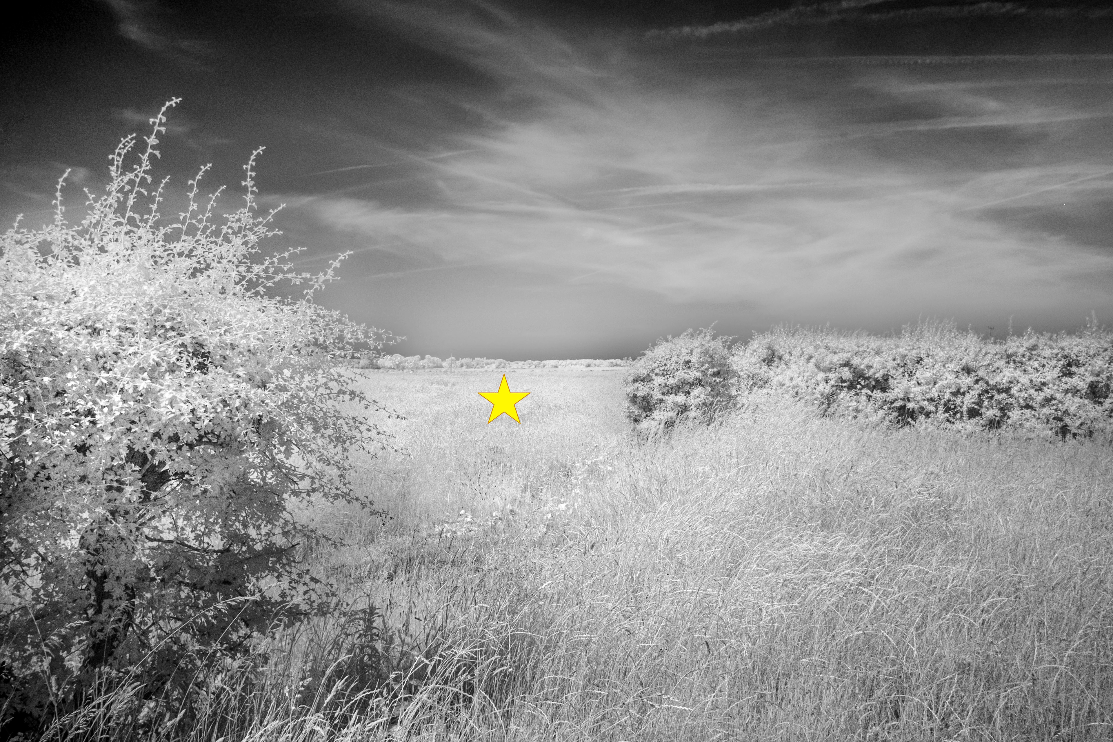
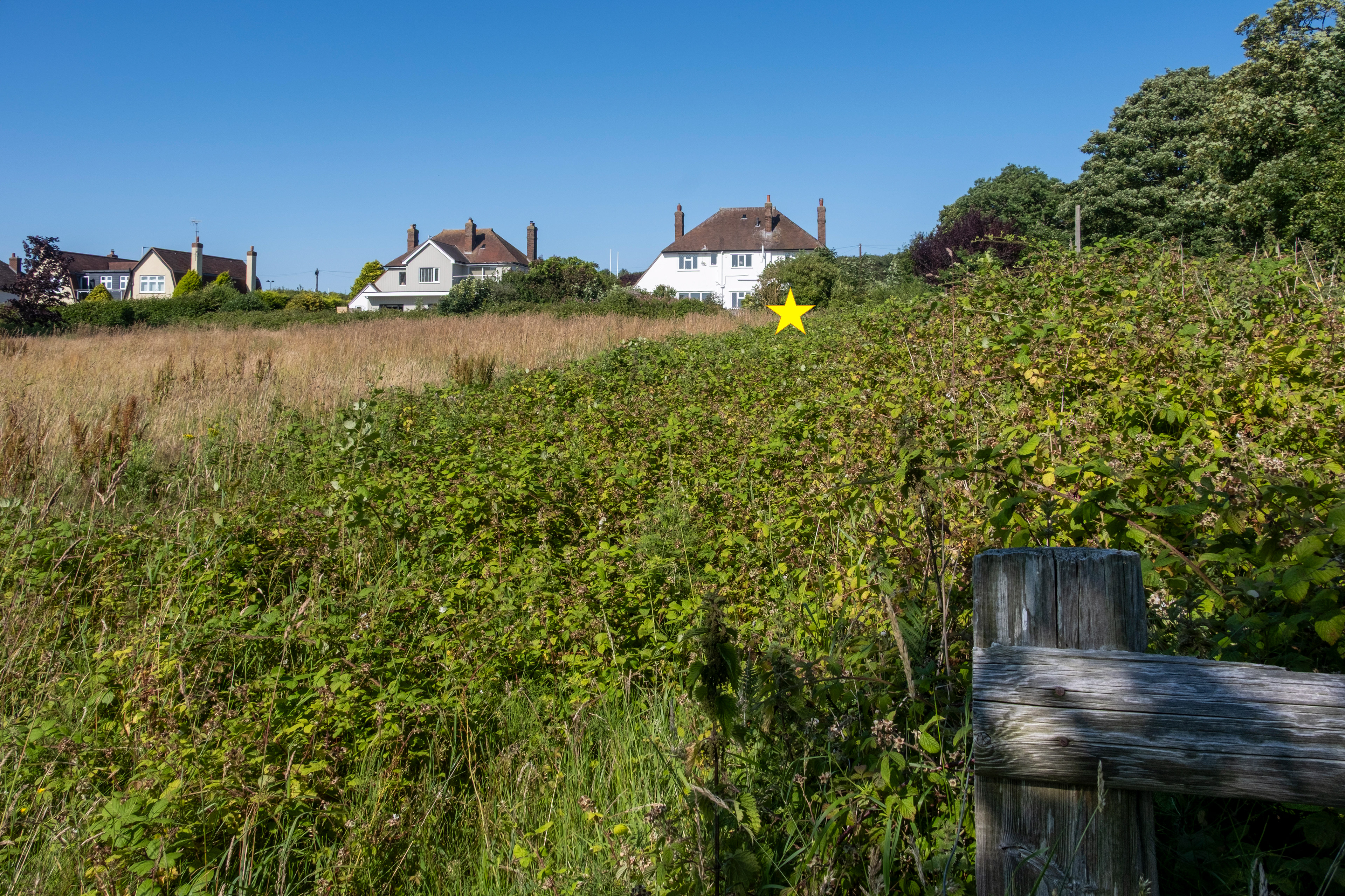
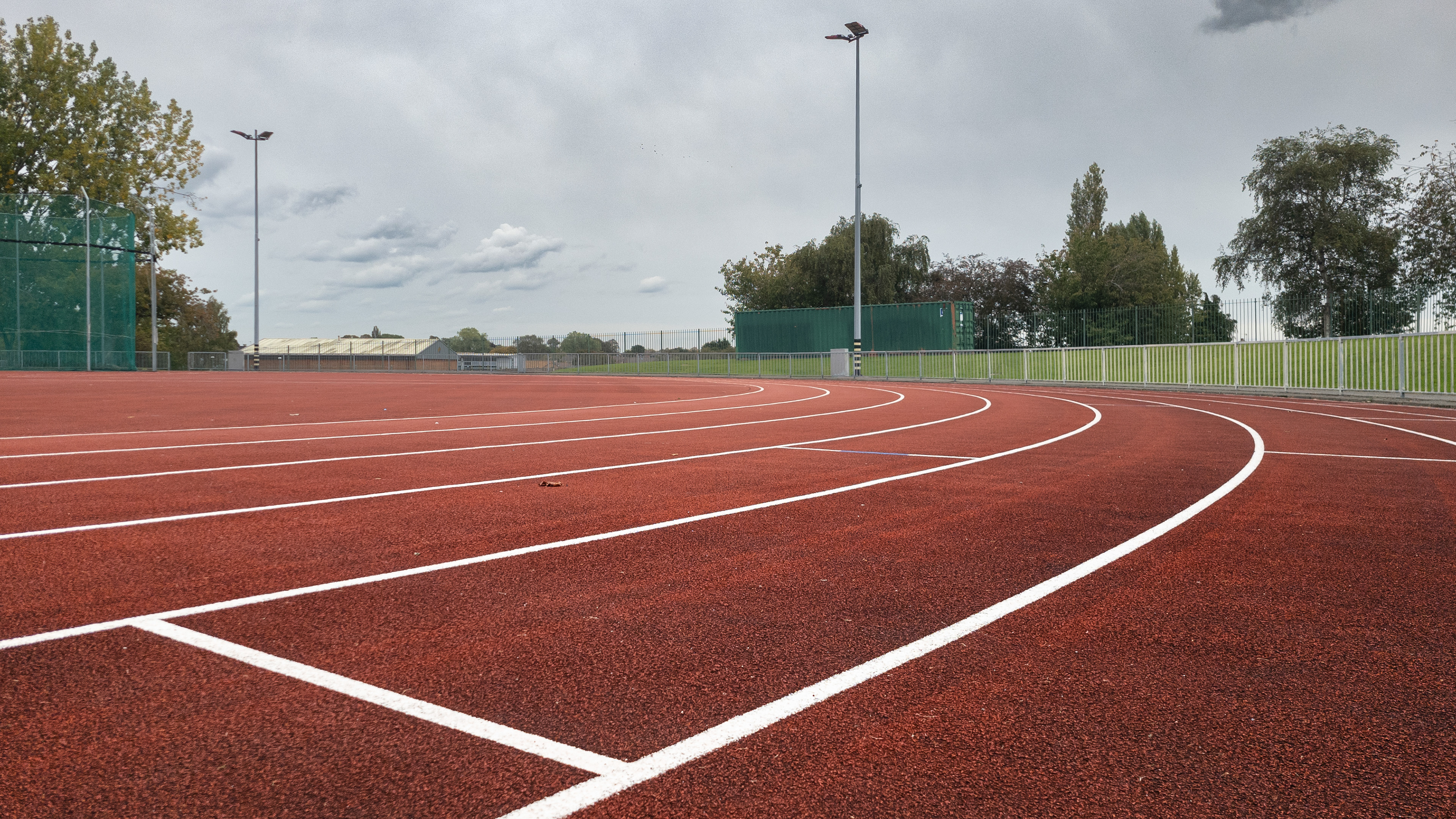
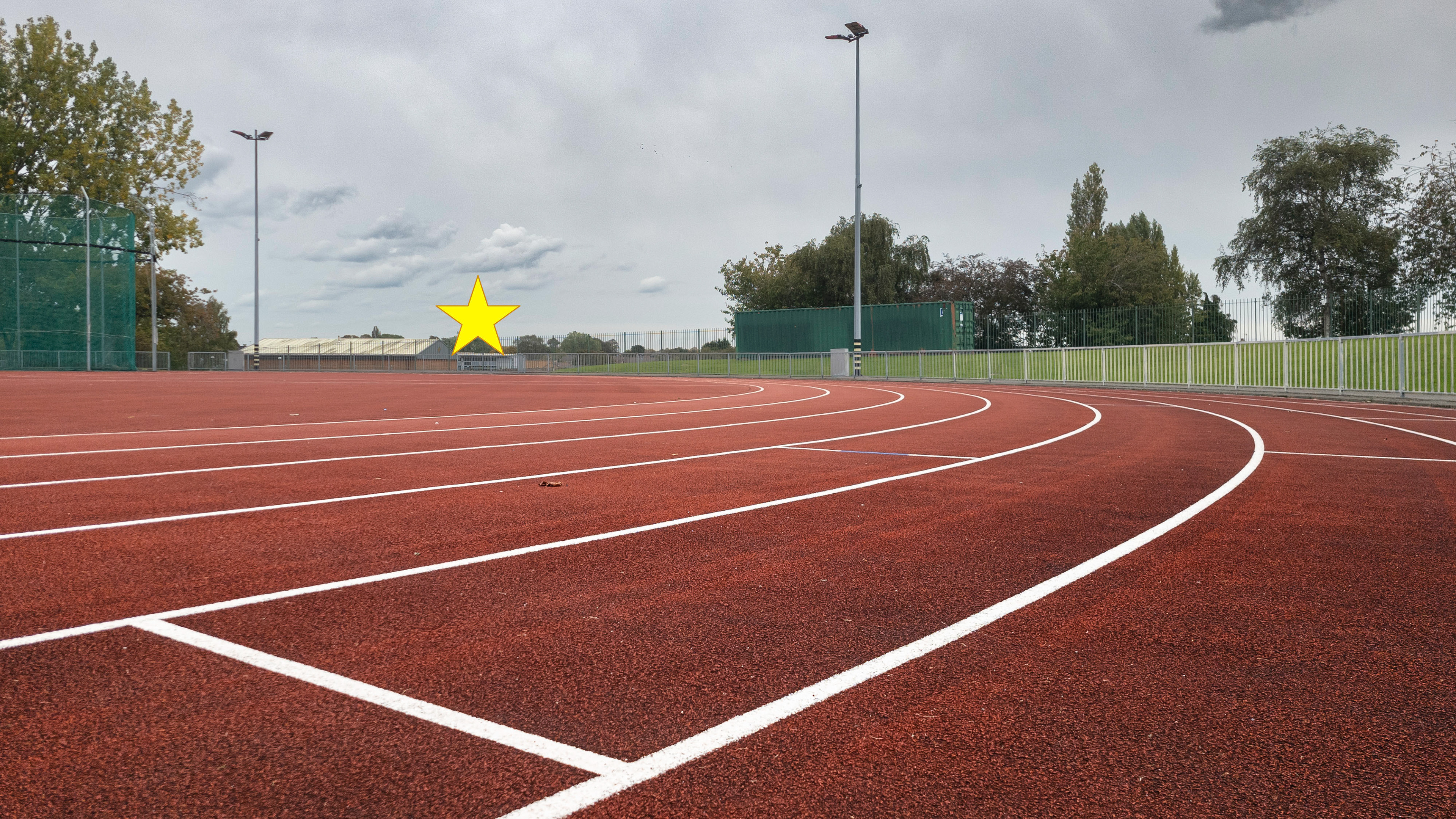
SJ 210 870 - Lingdale Court
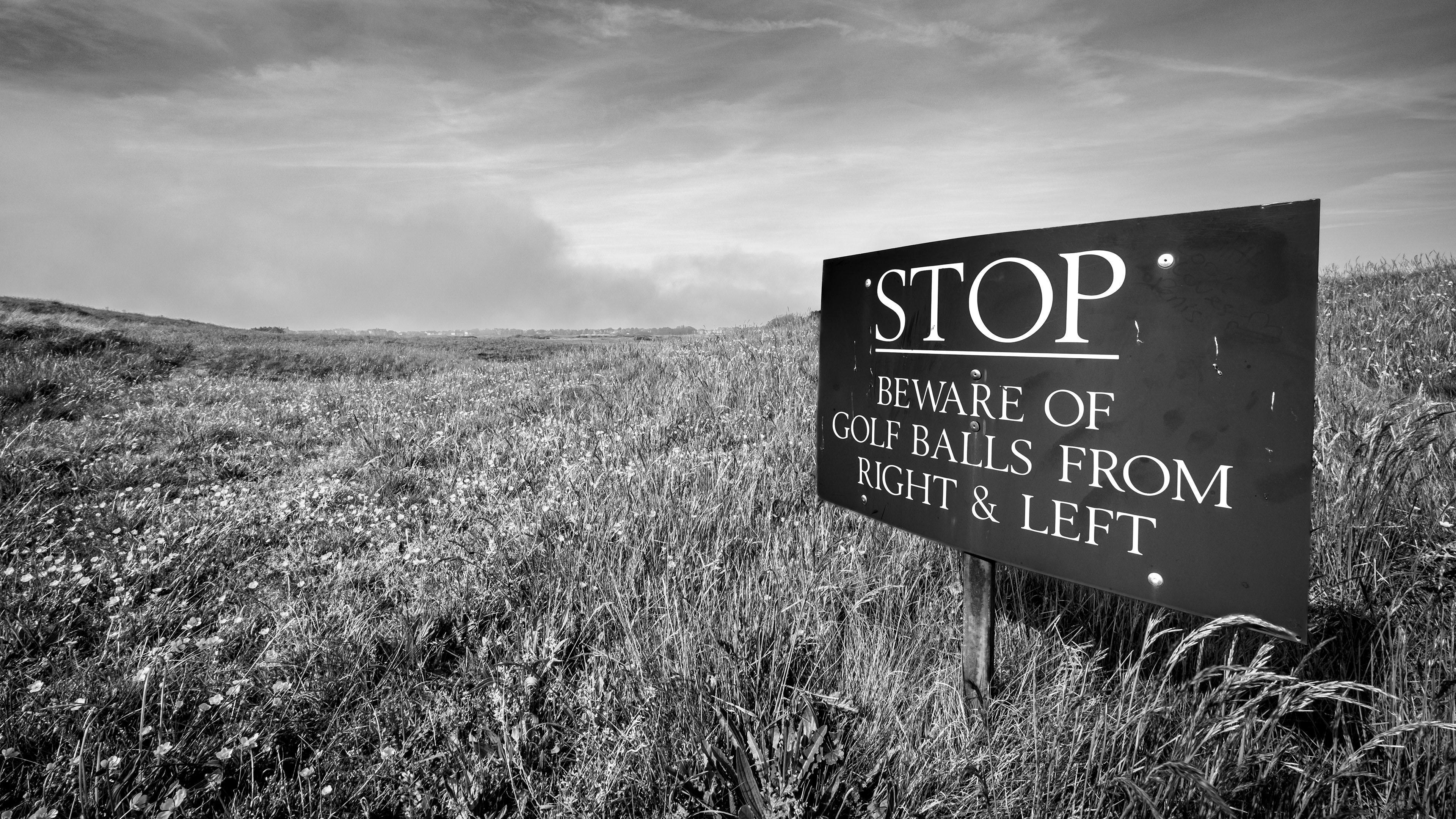
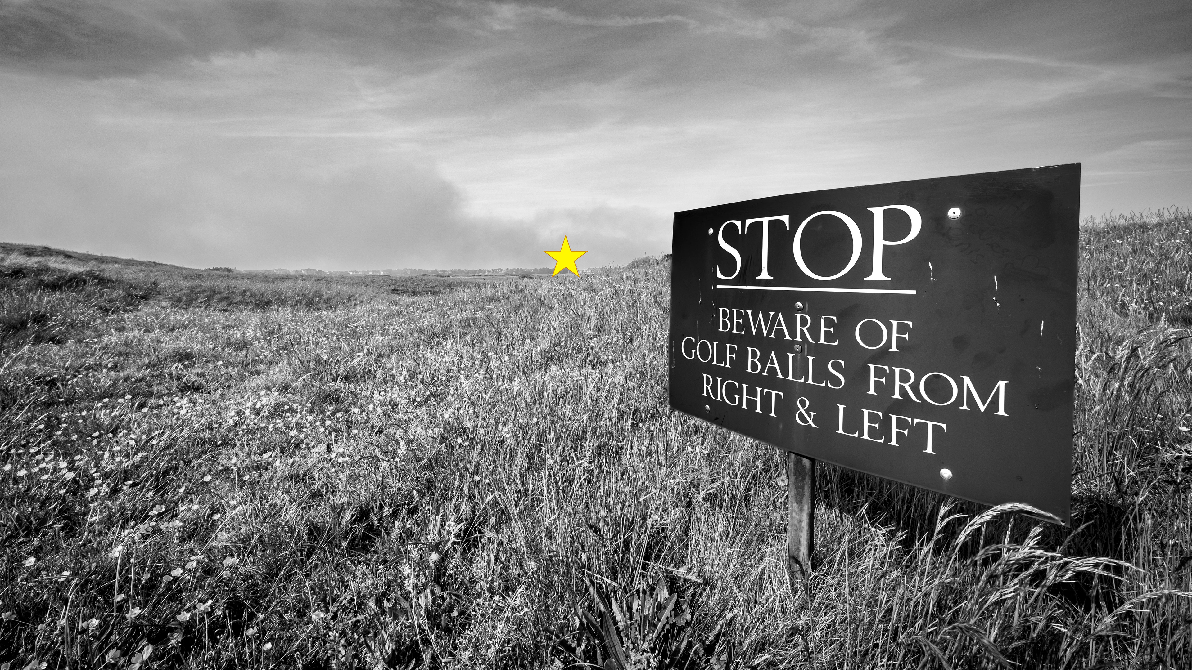
SJ 210 880 - Royal Liverpool Golf Club

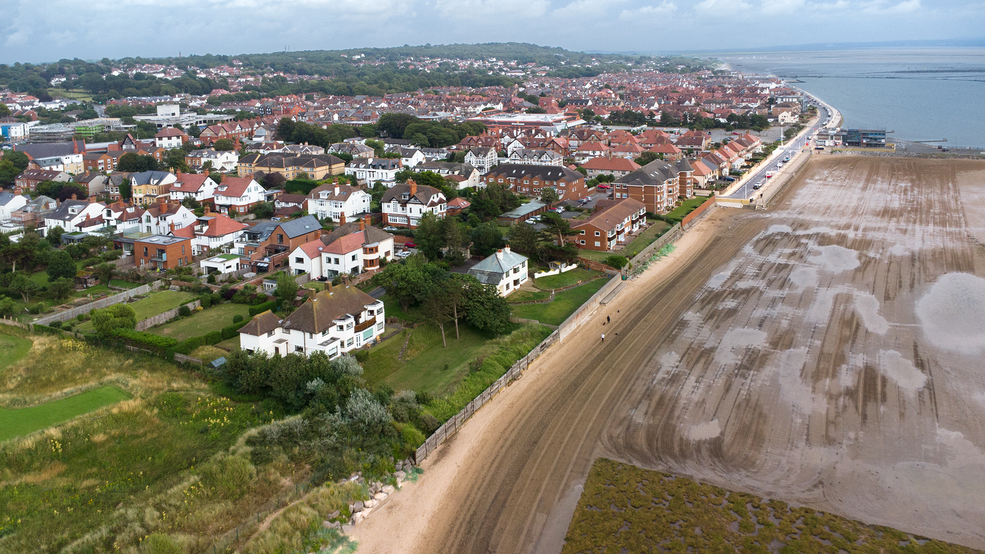
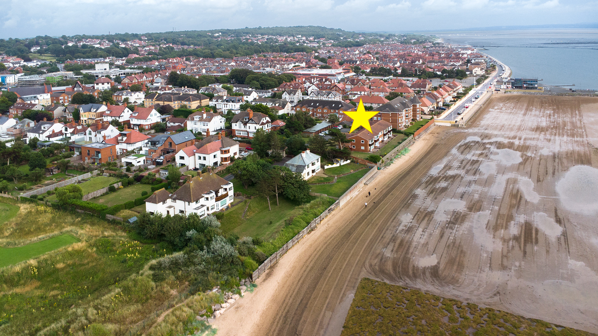
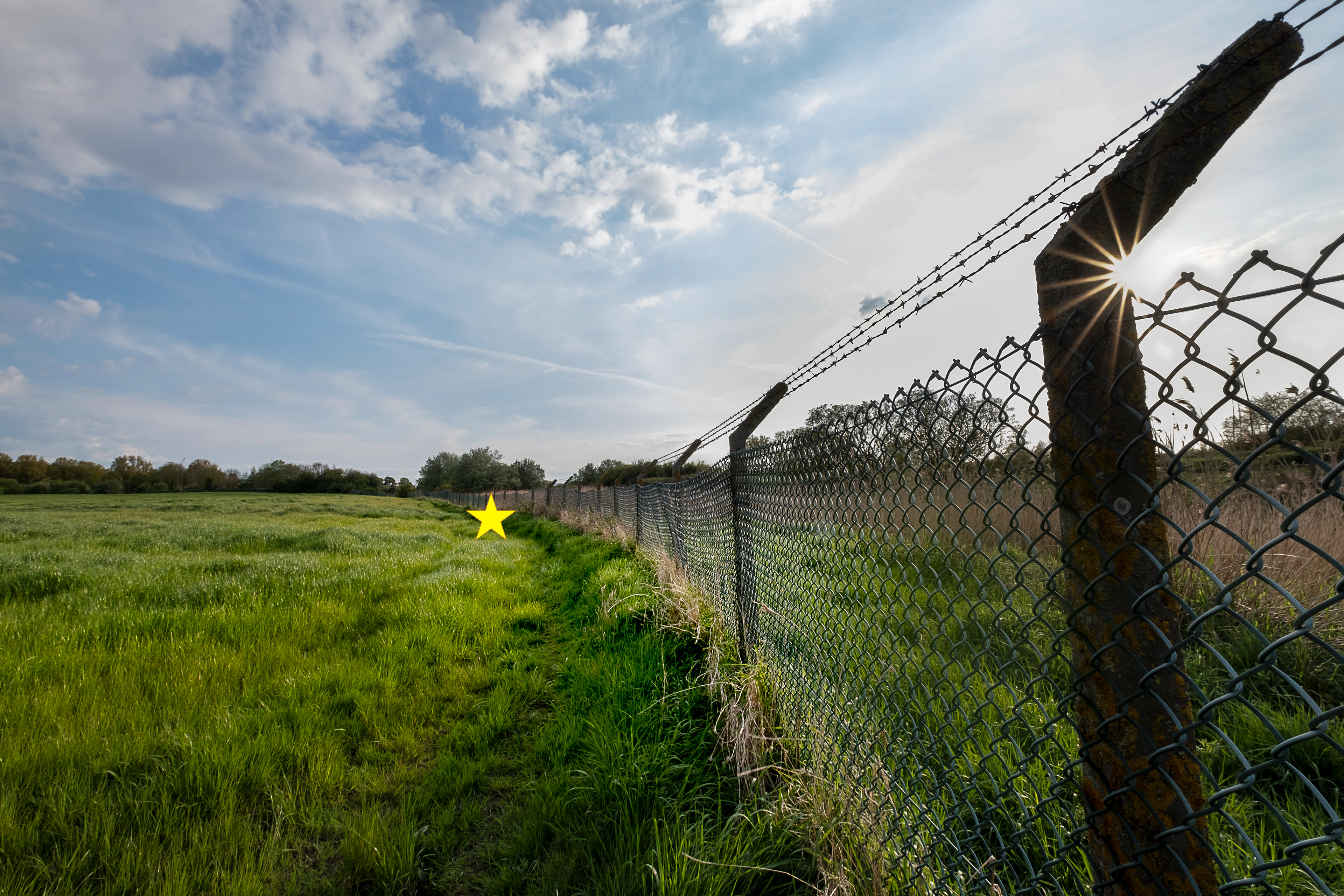
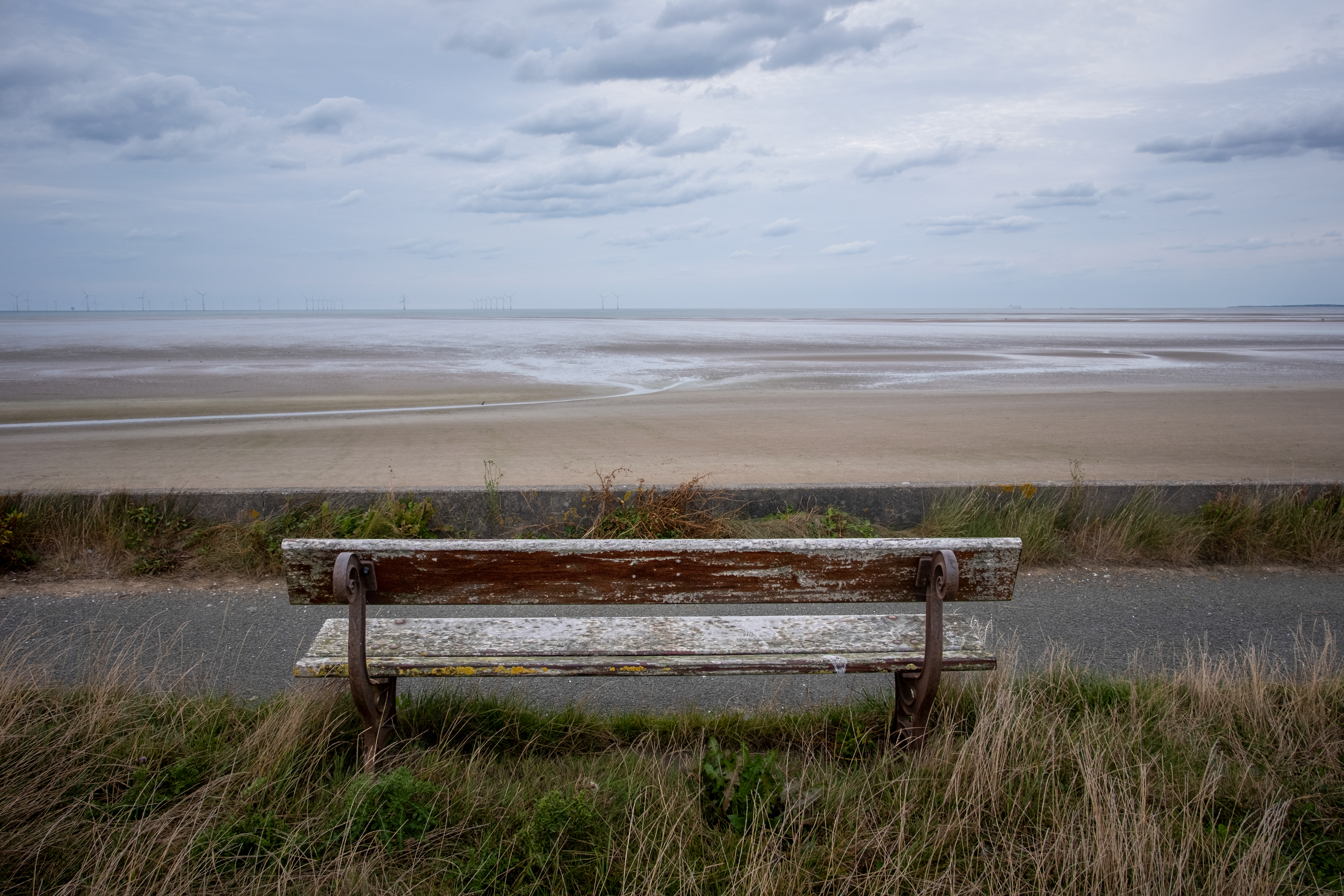
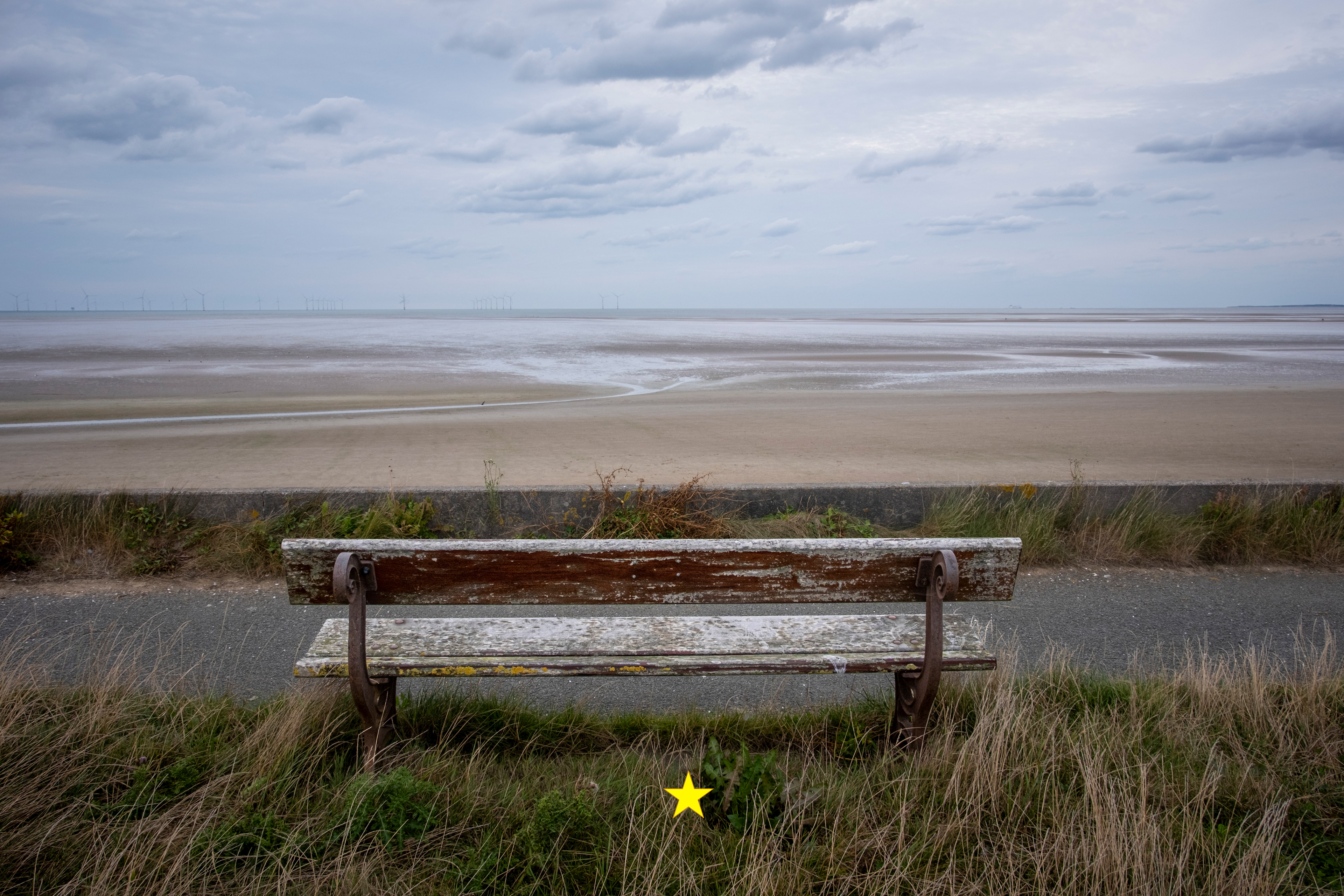
SJ 210 890 - Hoylake western shore

SJ 220 850 - Caldy Beach

SJ 220 860 - Caldy Road
SJ 220 870 - Grange Hill
SJ 220 880 - north of Greenbank Road

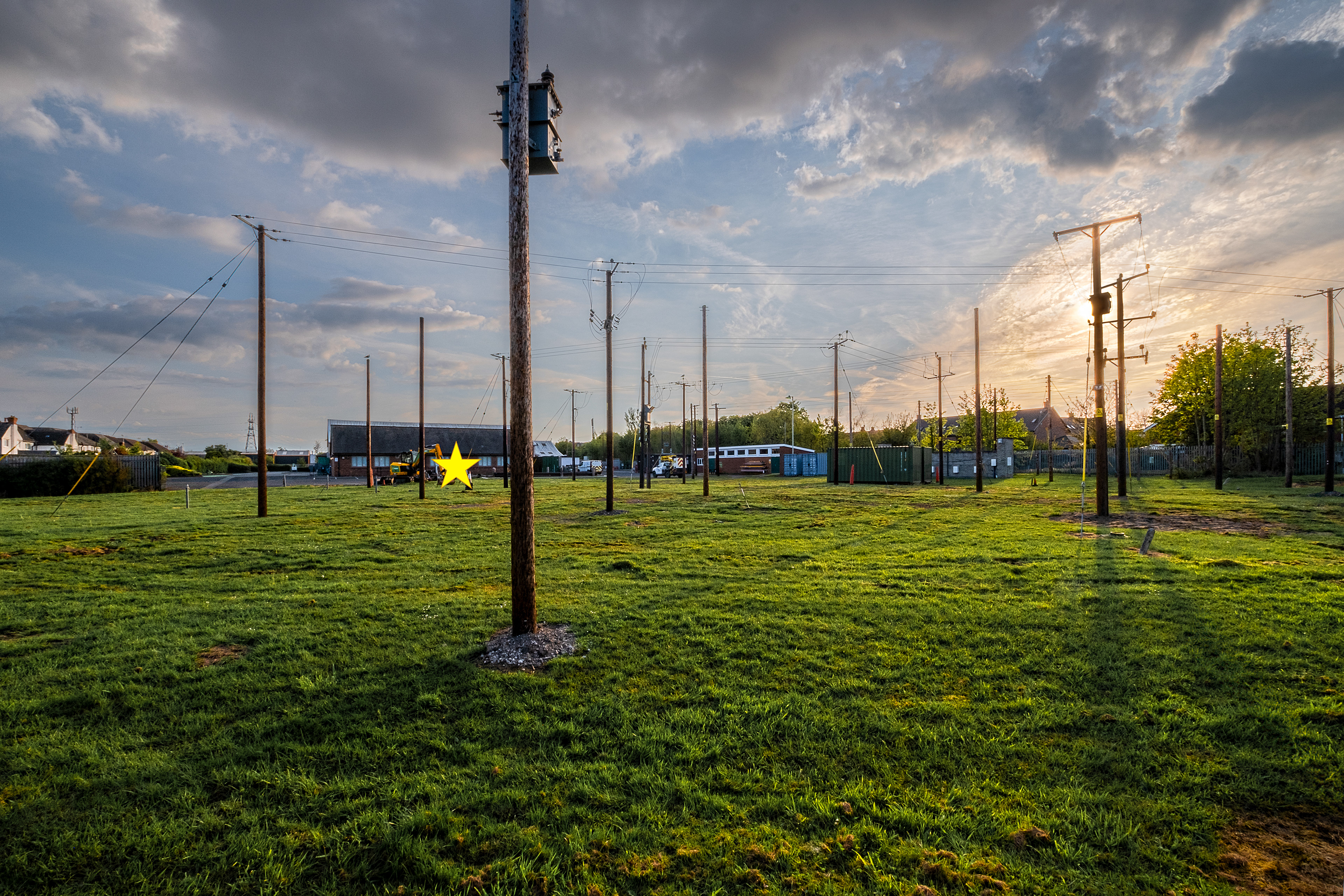
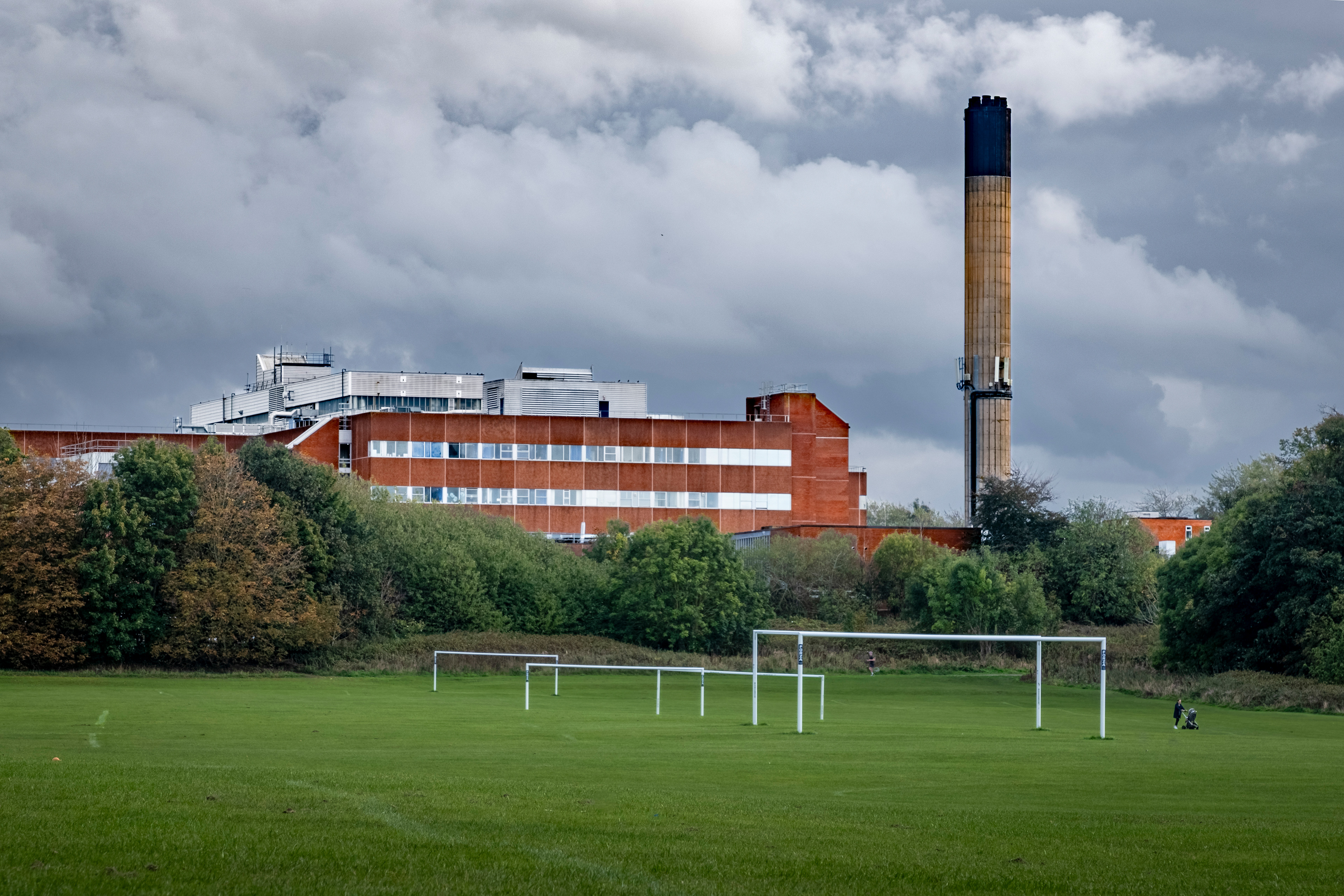
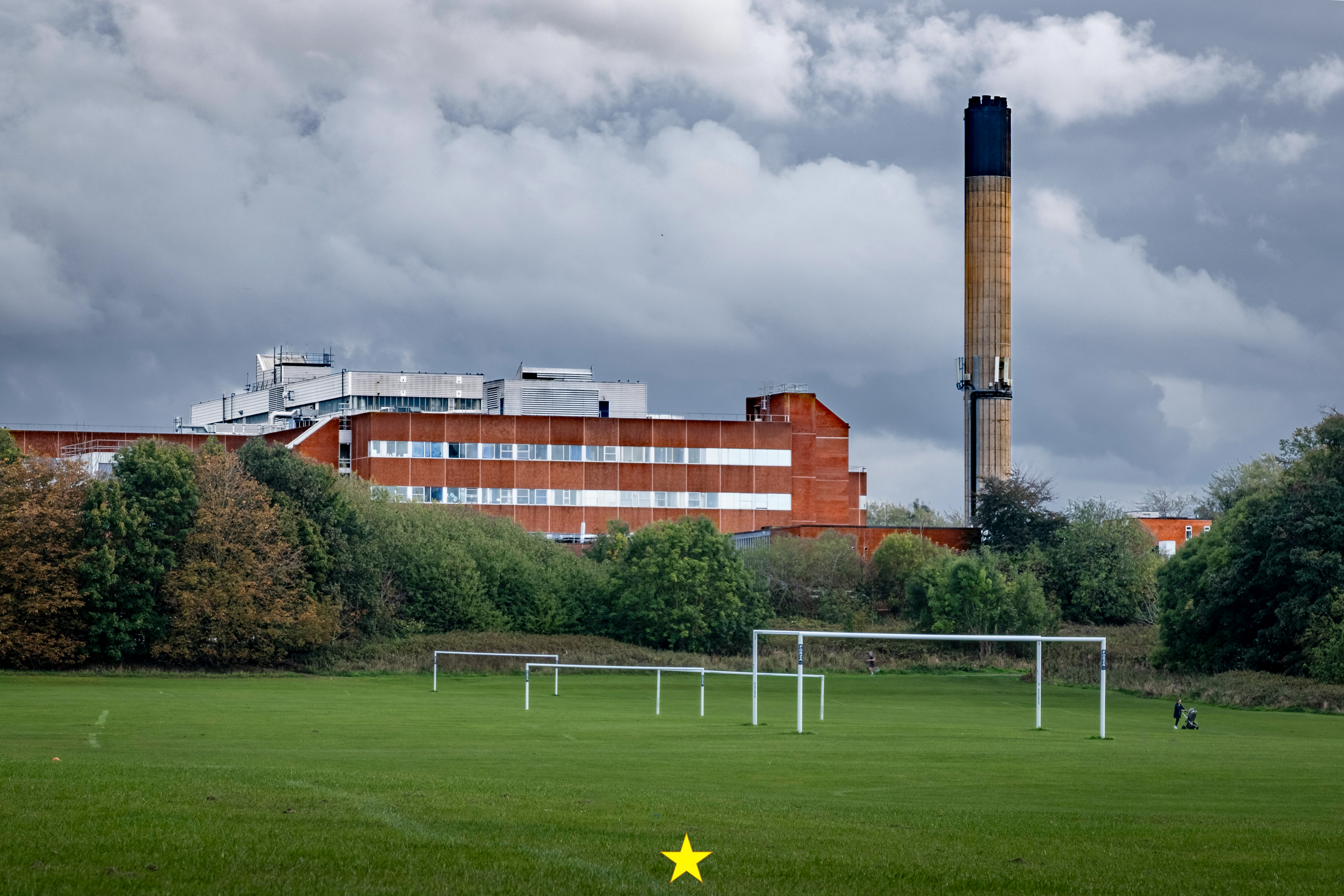
SJ 220 890 - Scottish Power
SJ 220 900 - Hoylake eastern shore

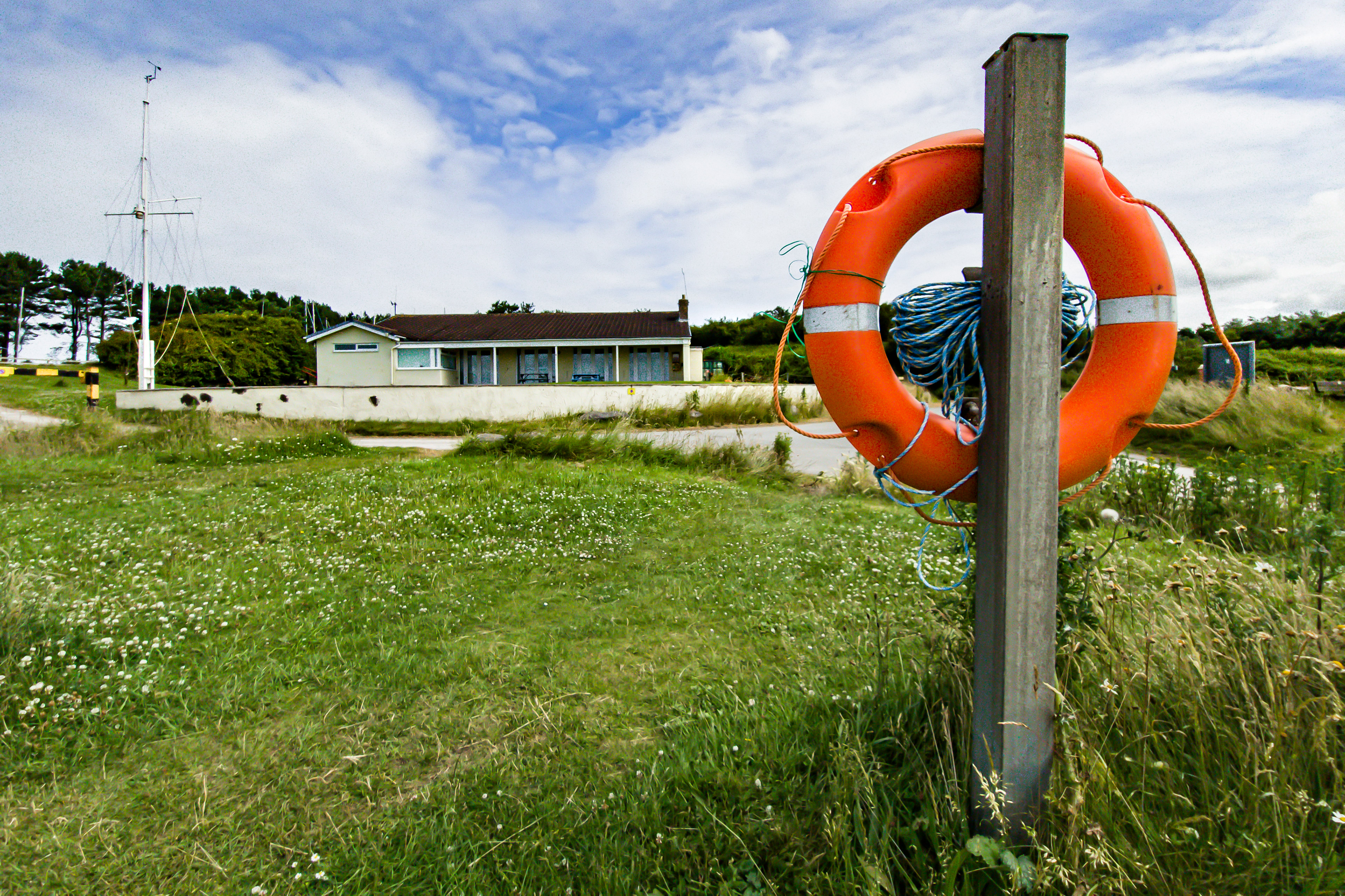
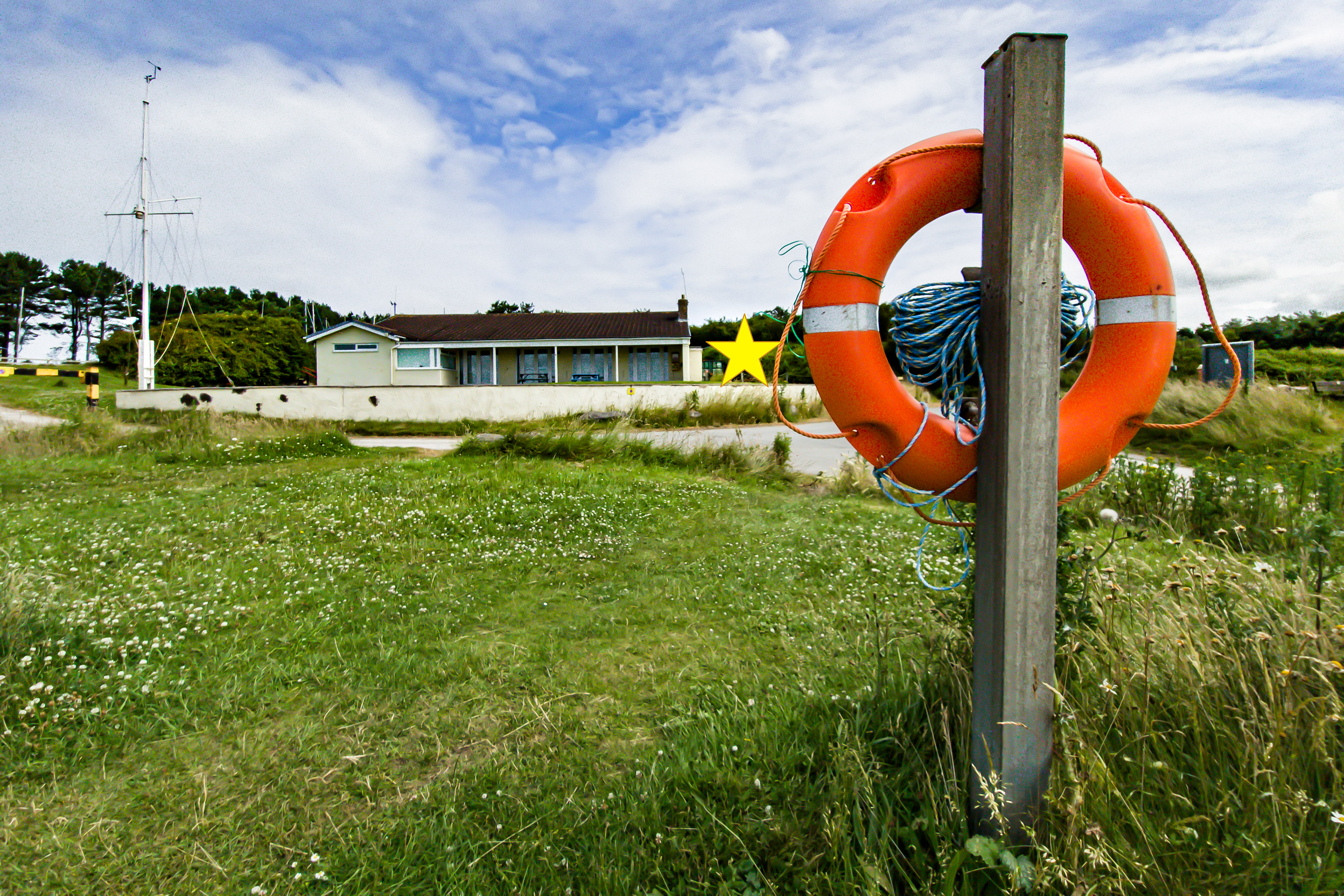
SJ 230 840 - Dee Sailing Club
SJ 230 850 - Croft Drive East
SJ 230 860 - Kings Drive North
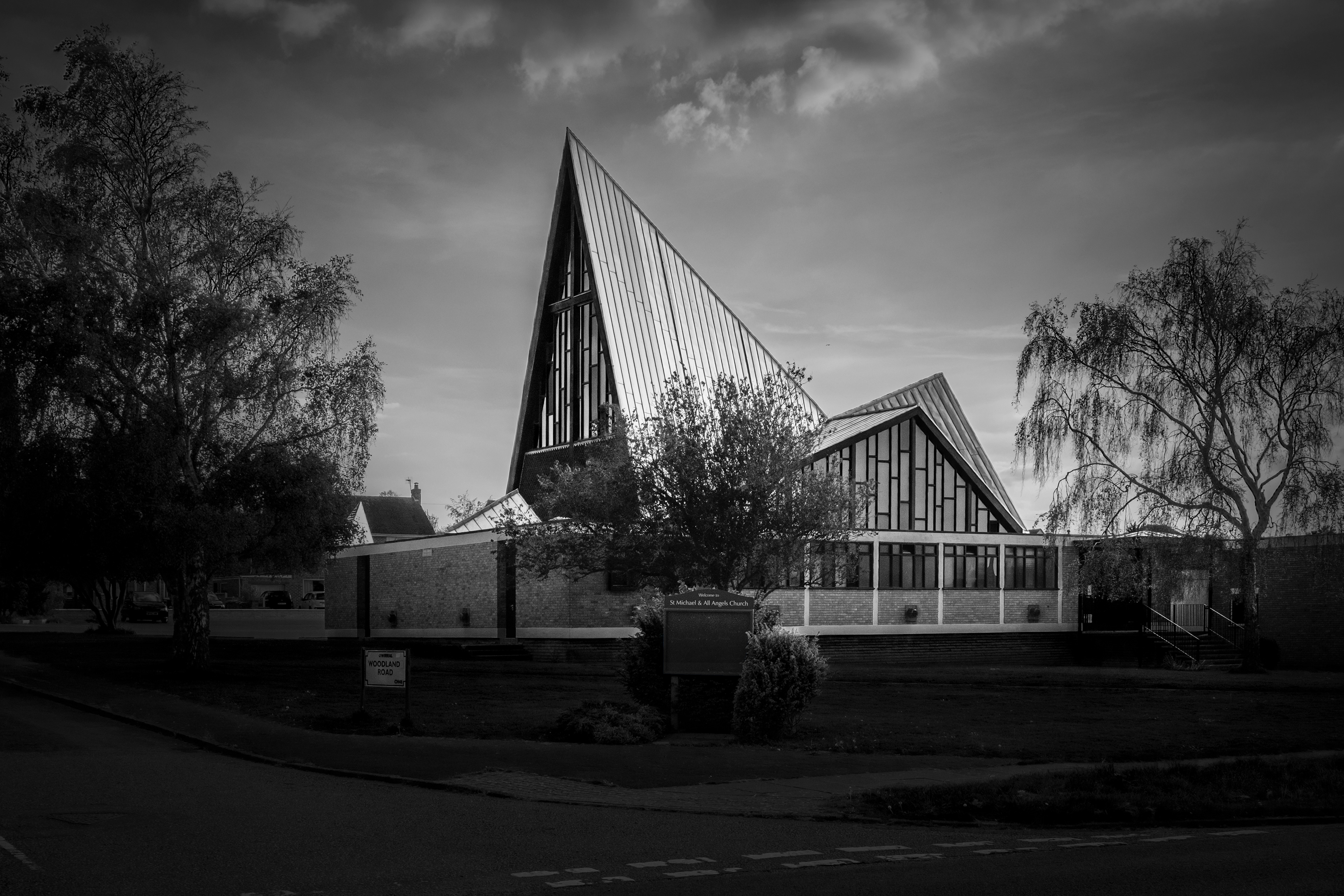
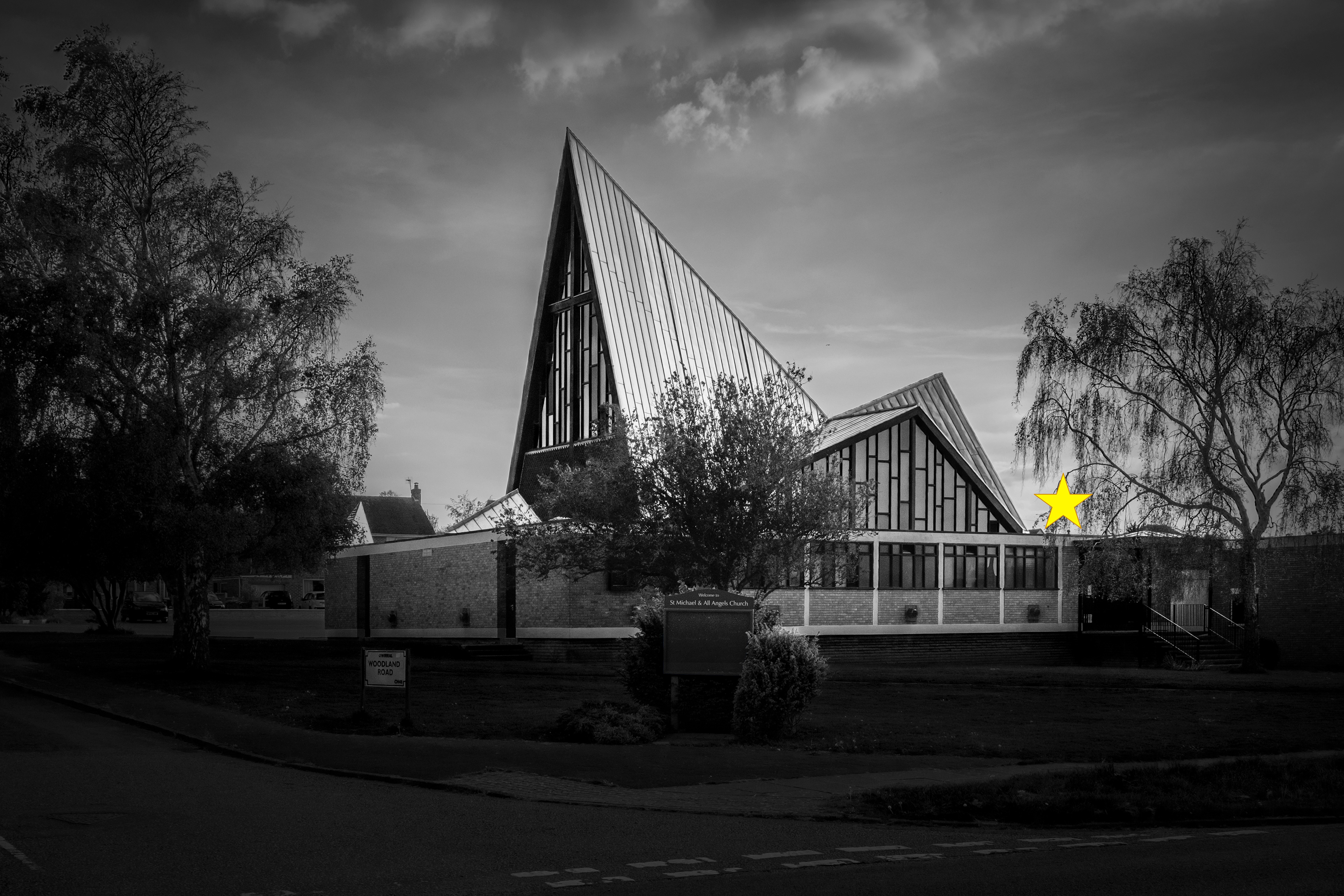
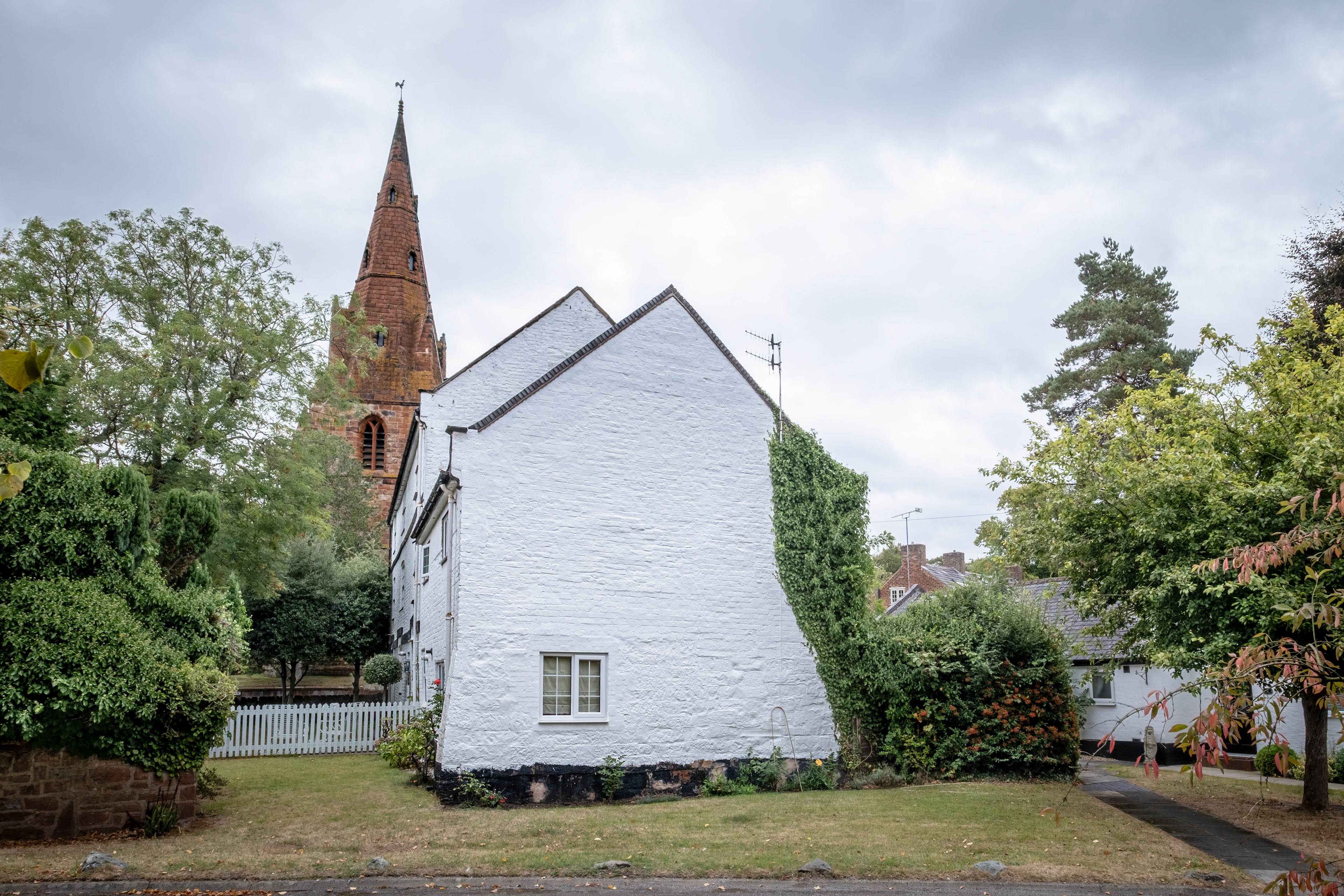
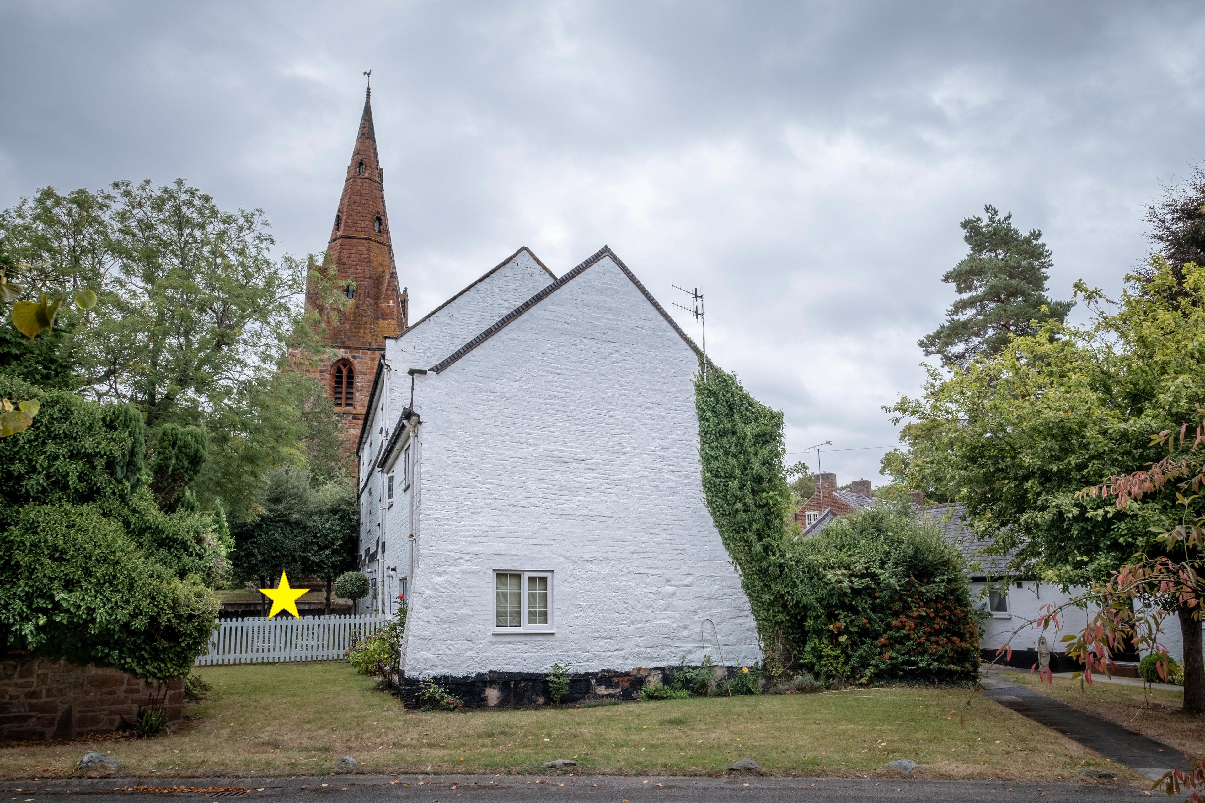
SJ 230 870 - St Michael of all Angels church
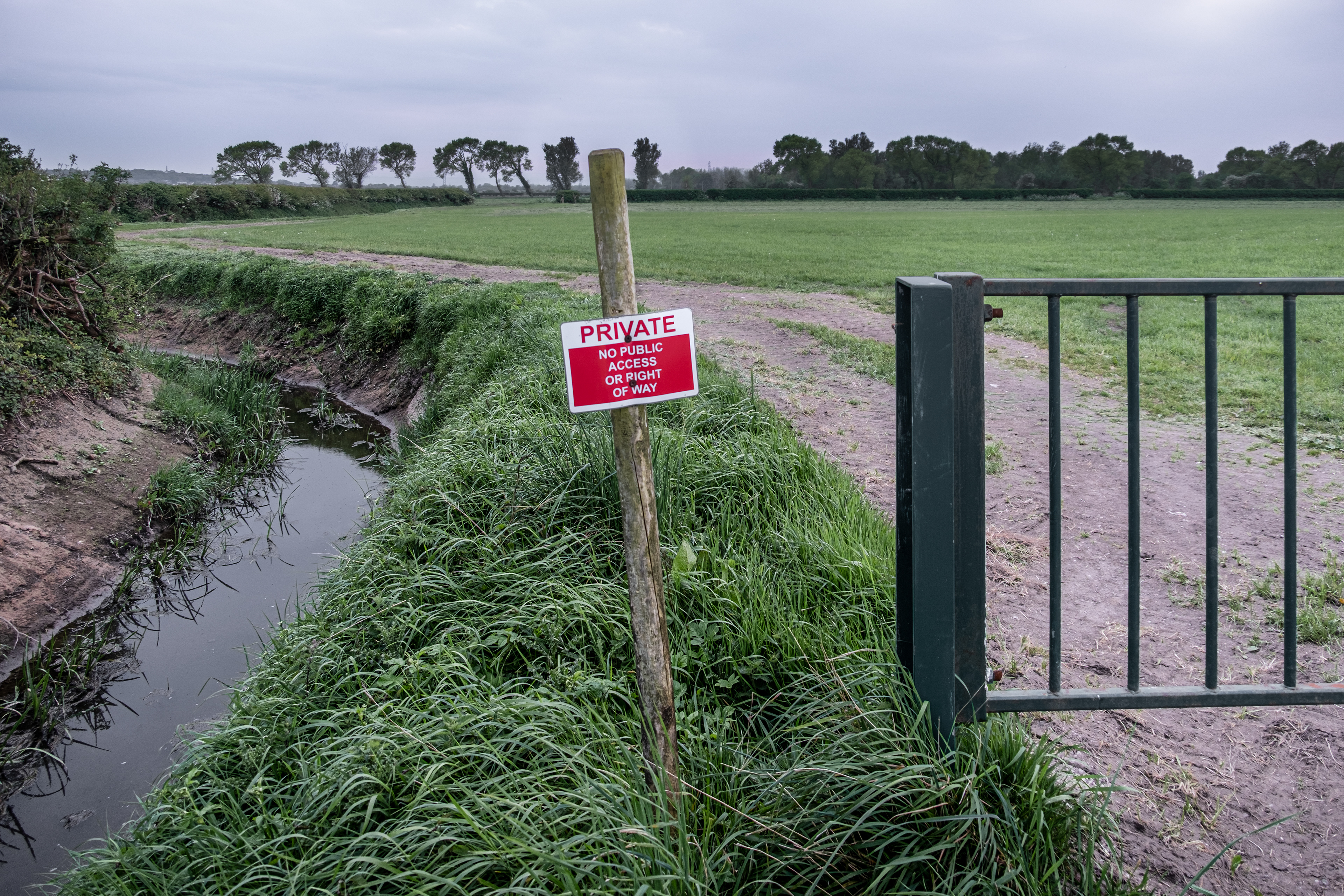
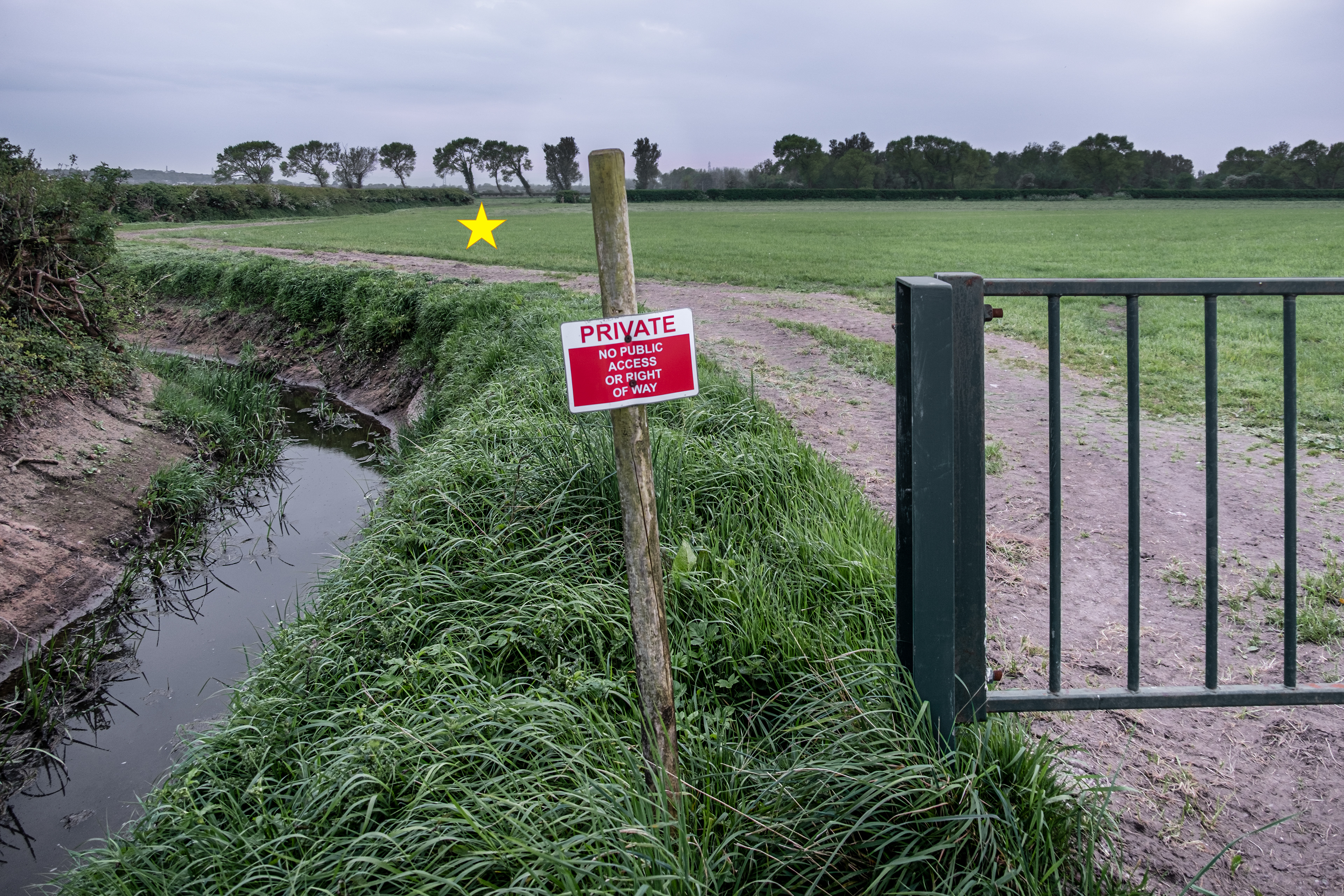
SJ 230 880 - Long Rake Farm
SJ 230 890 - The Birket
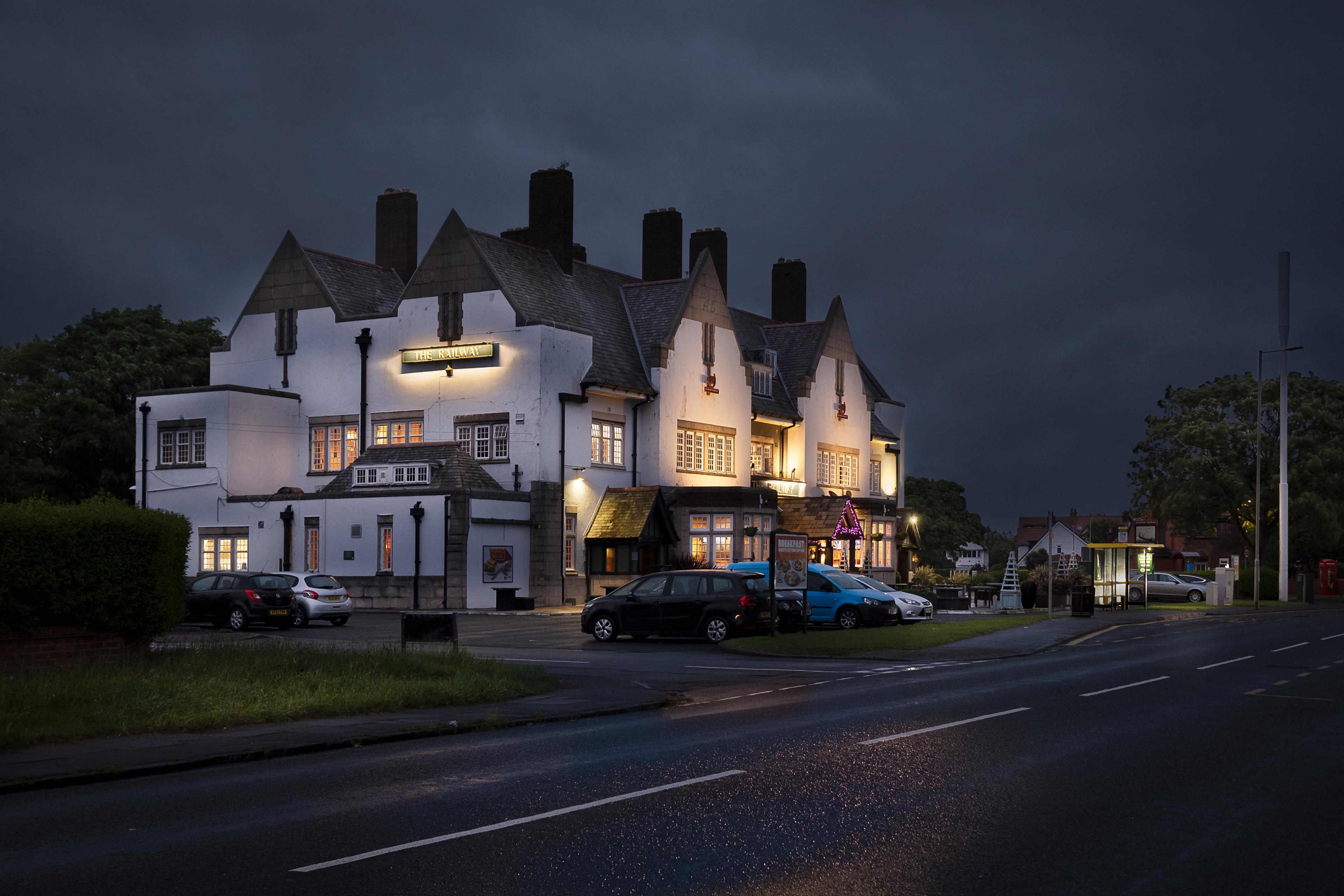
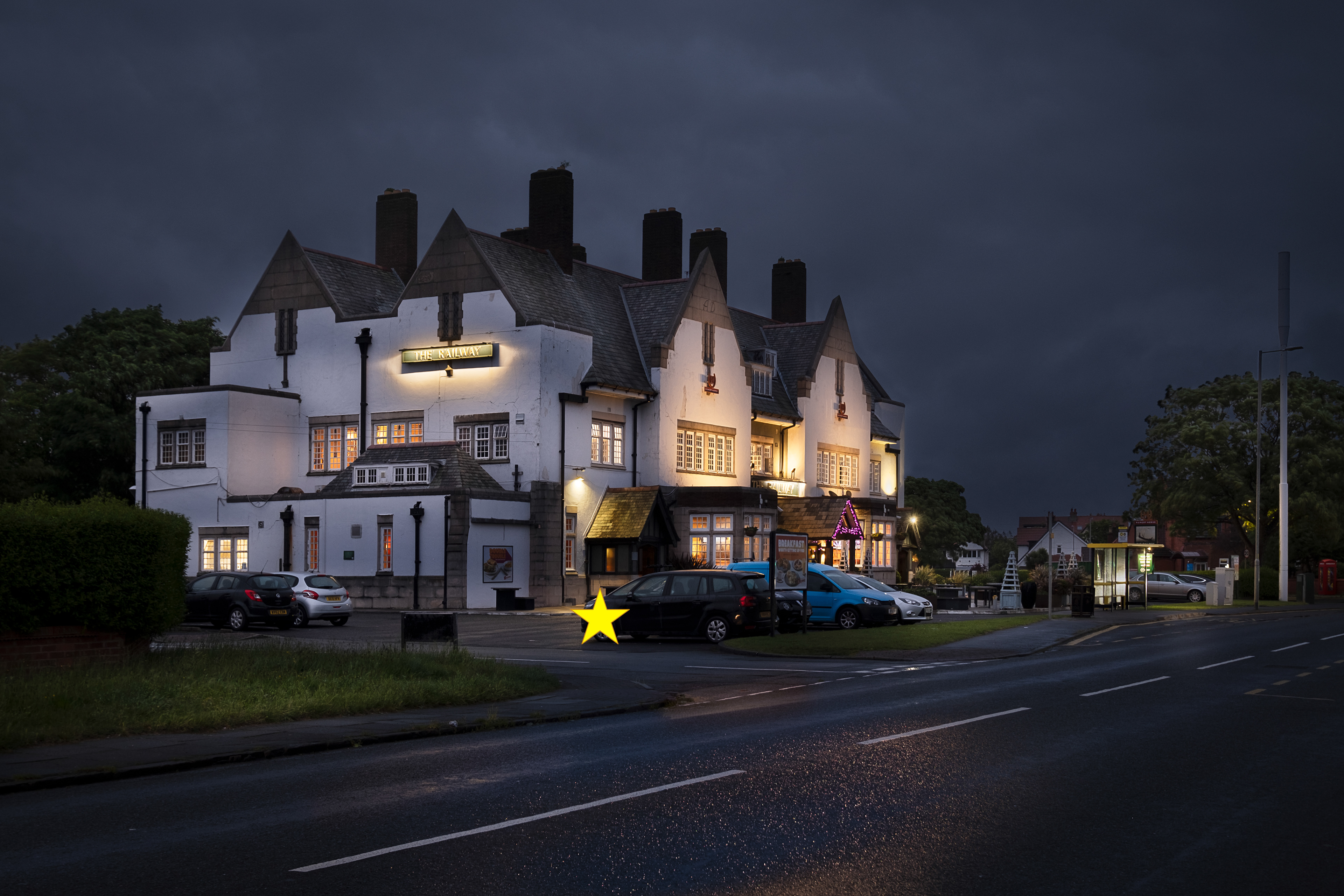
SJ 230 900 - The Railway pub
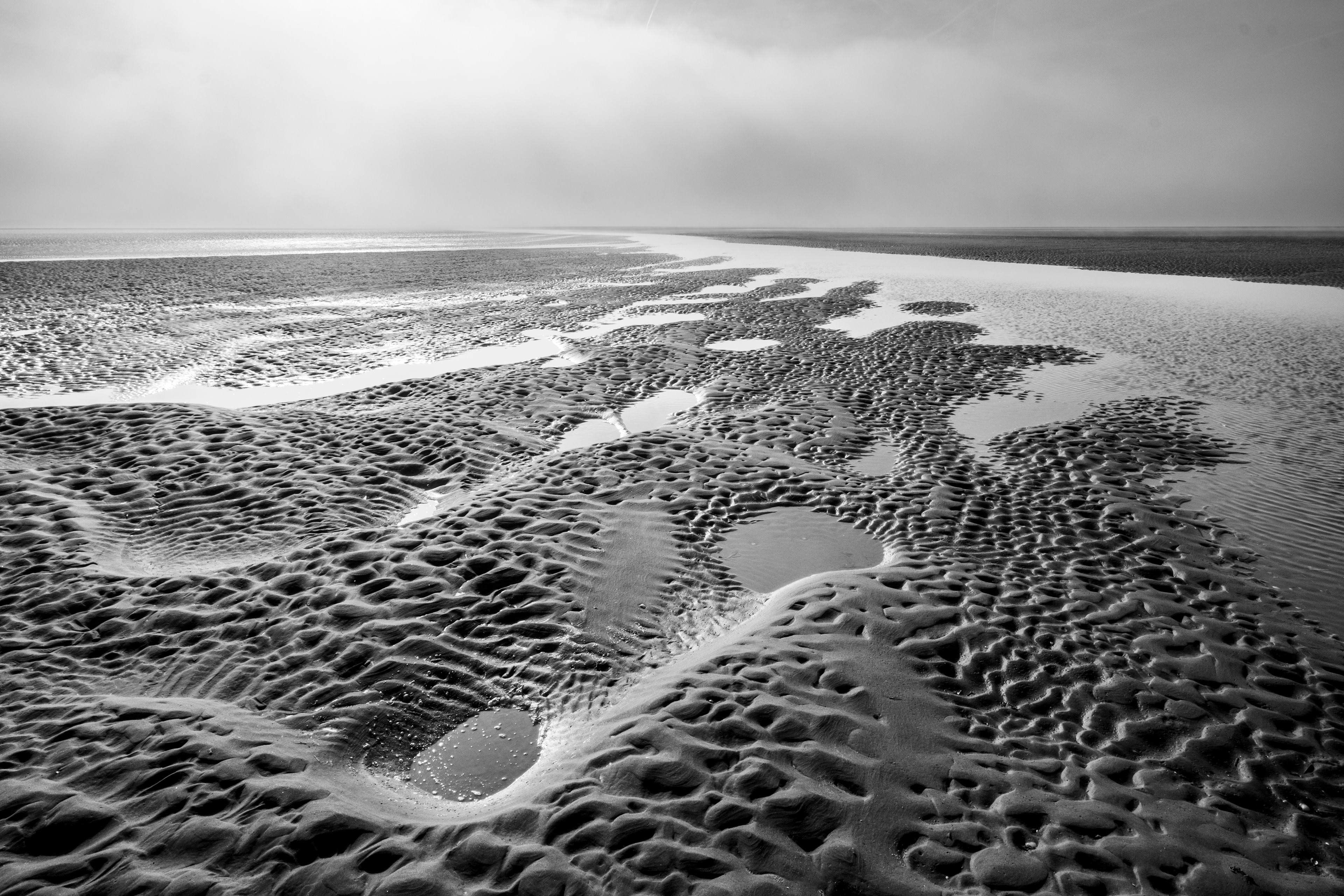
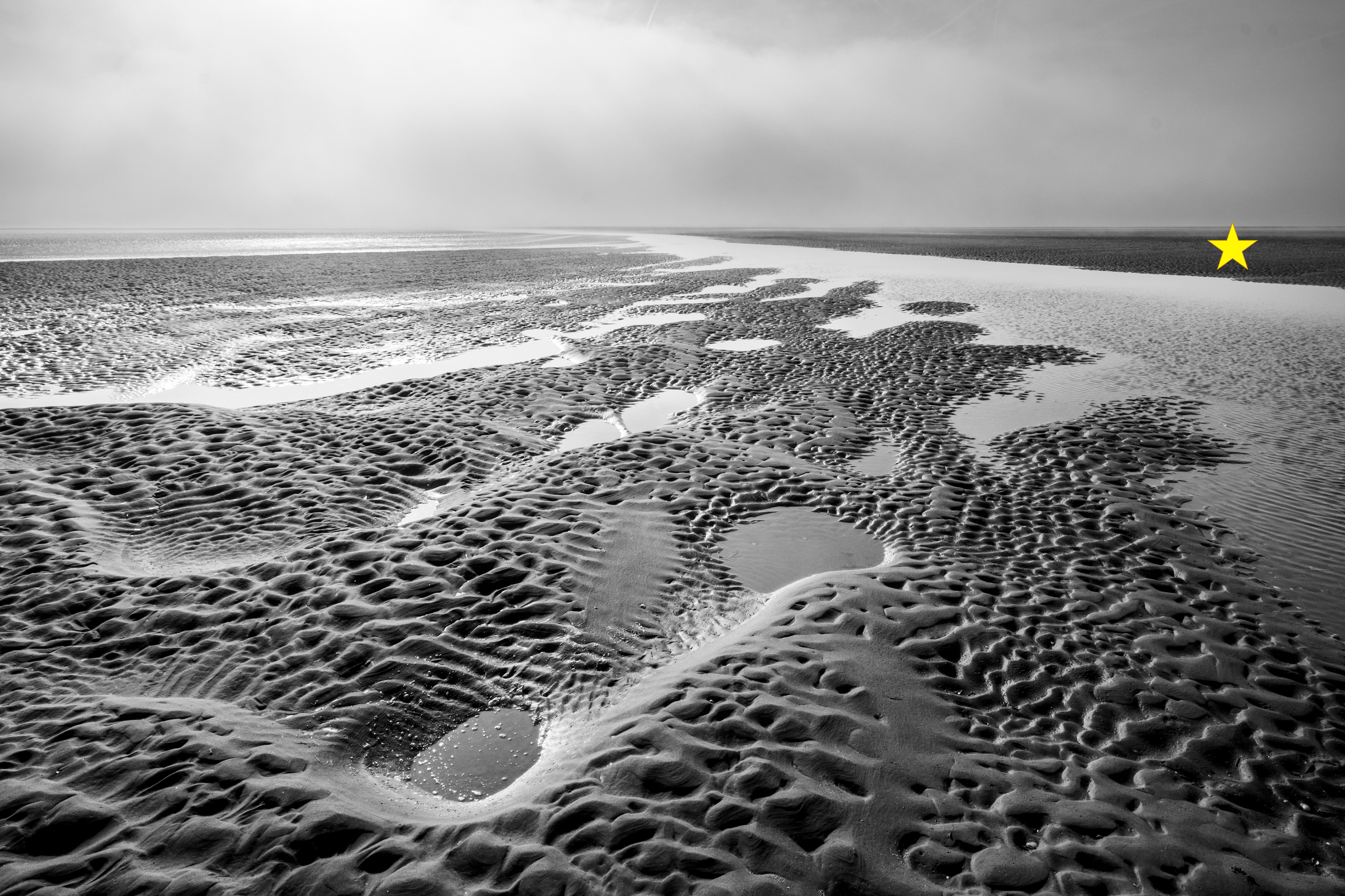
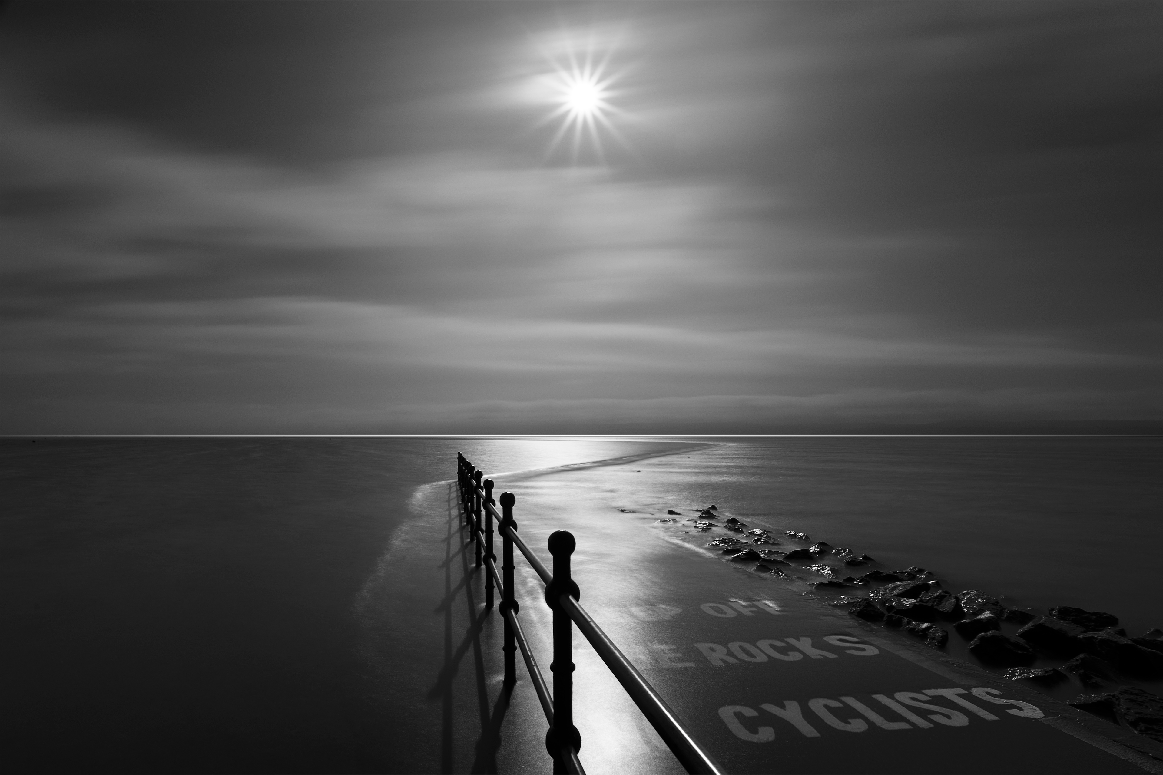
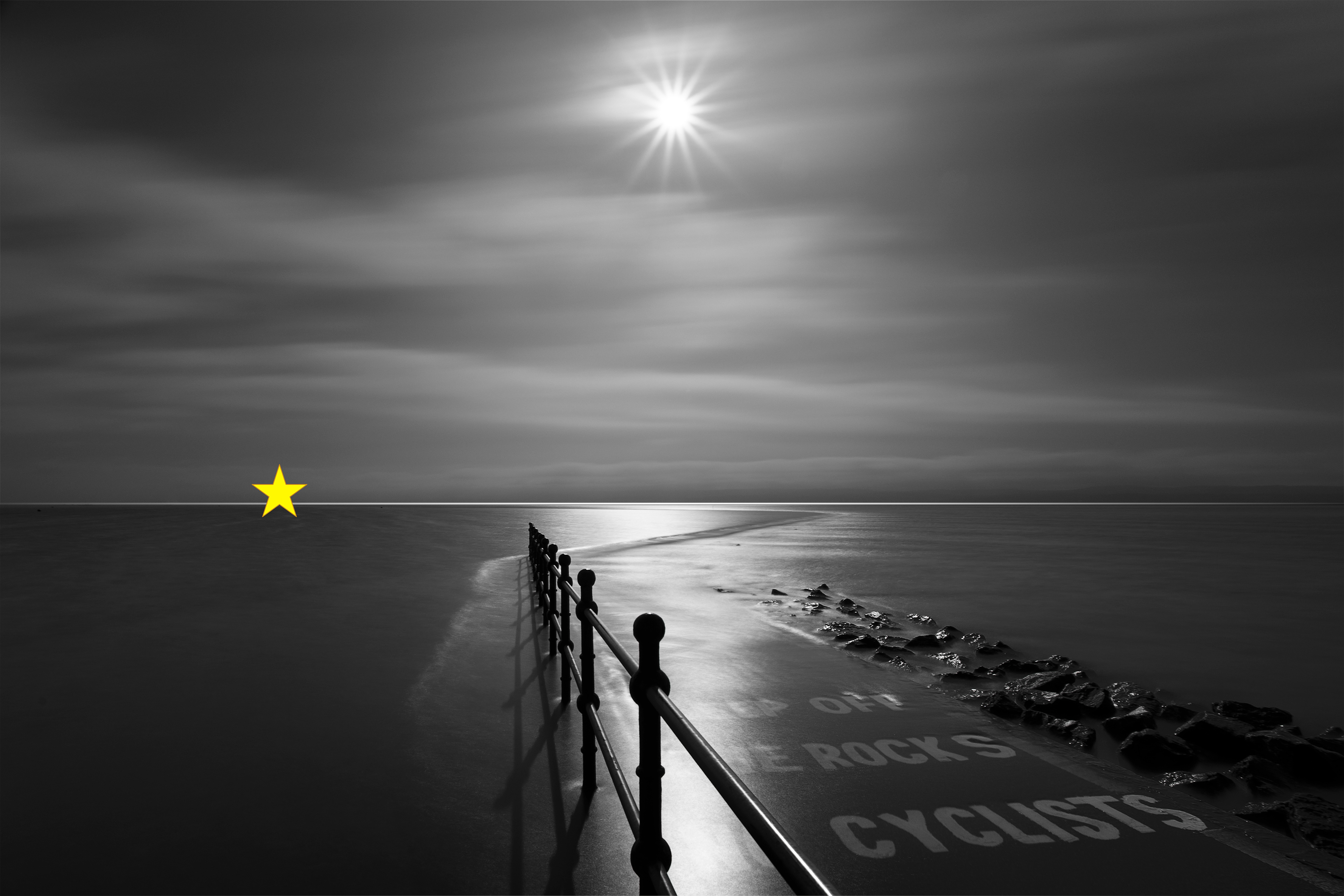
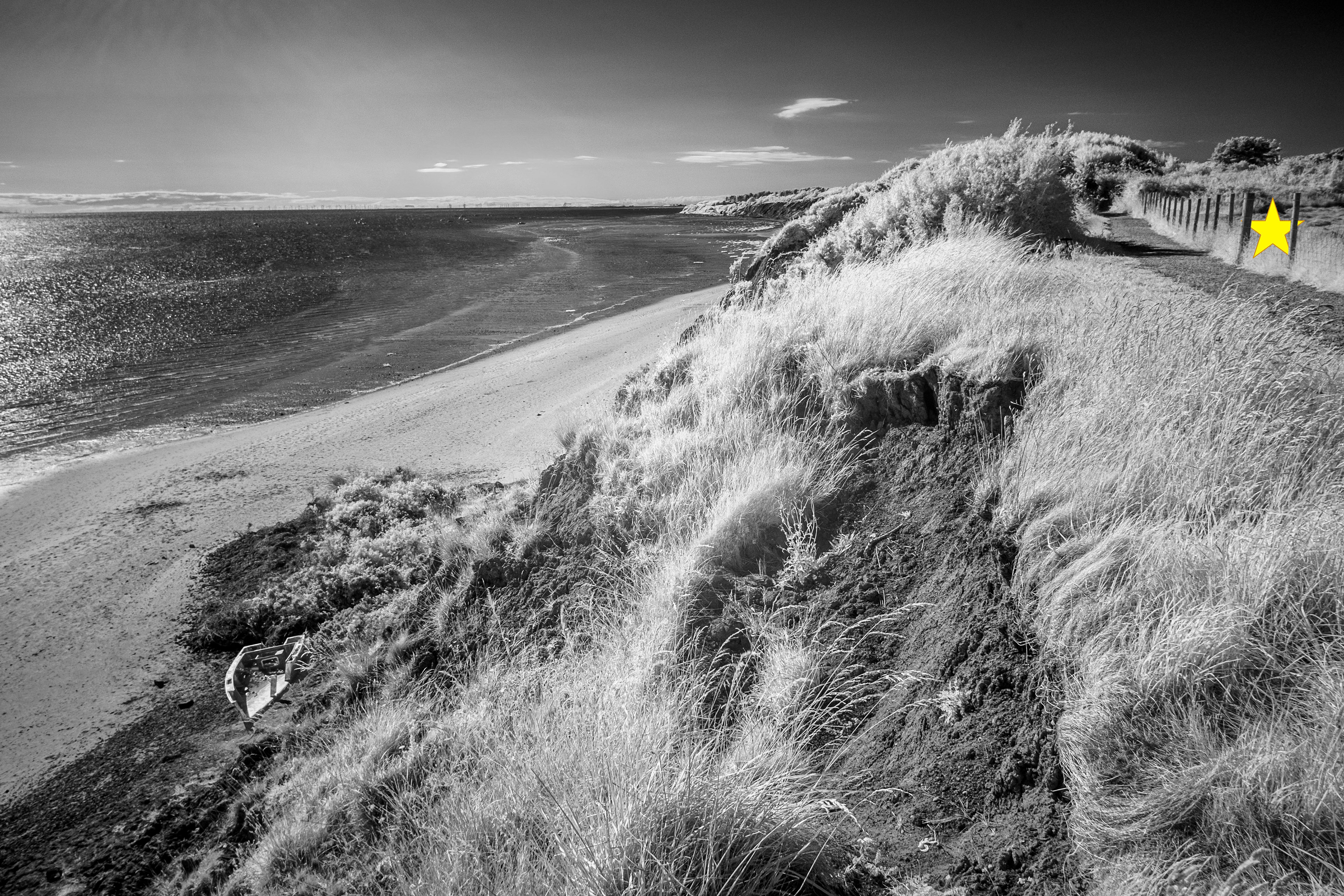
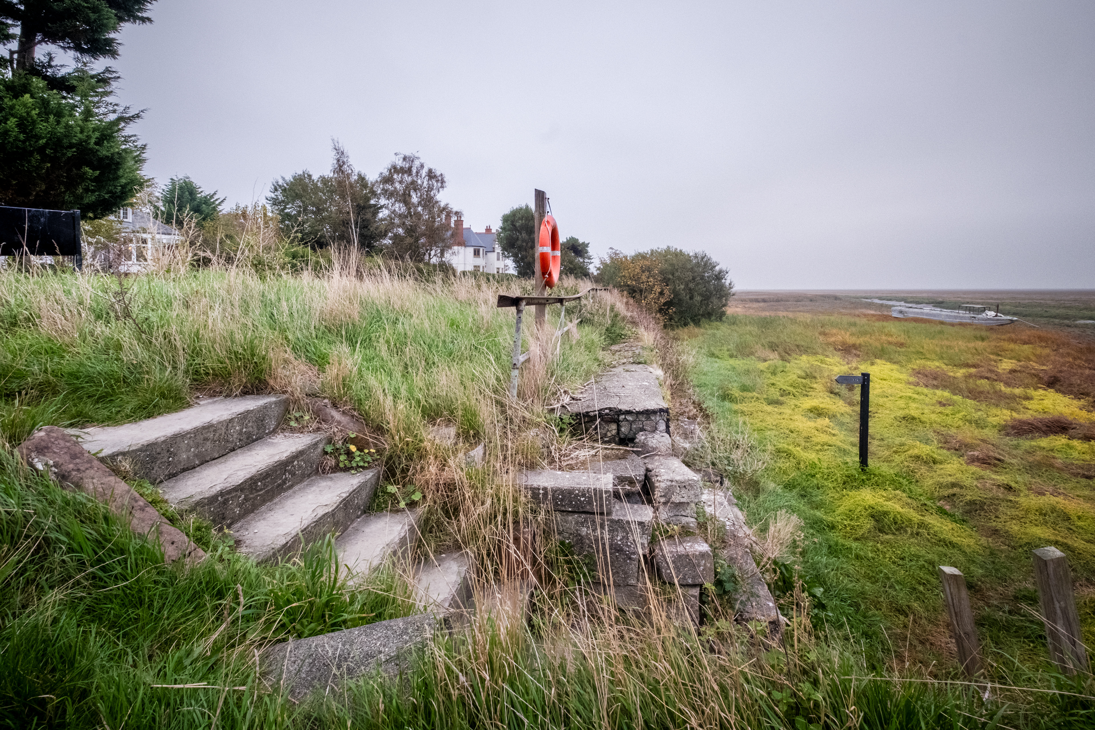
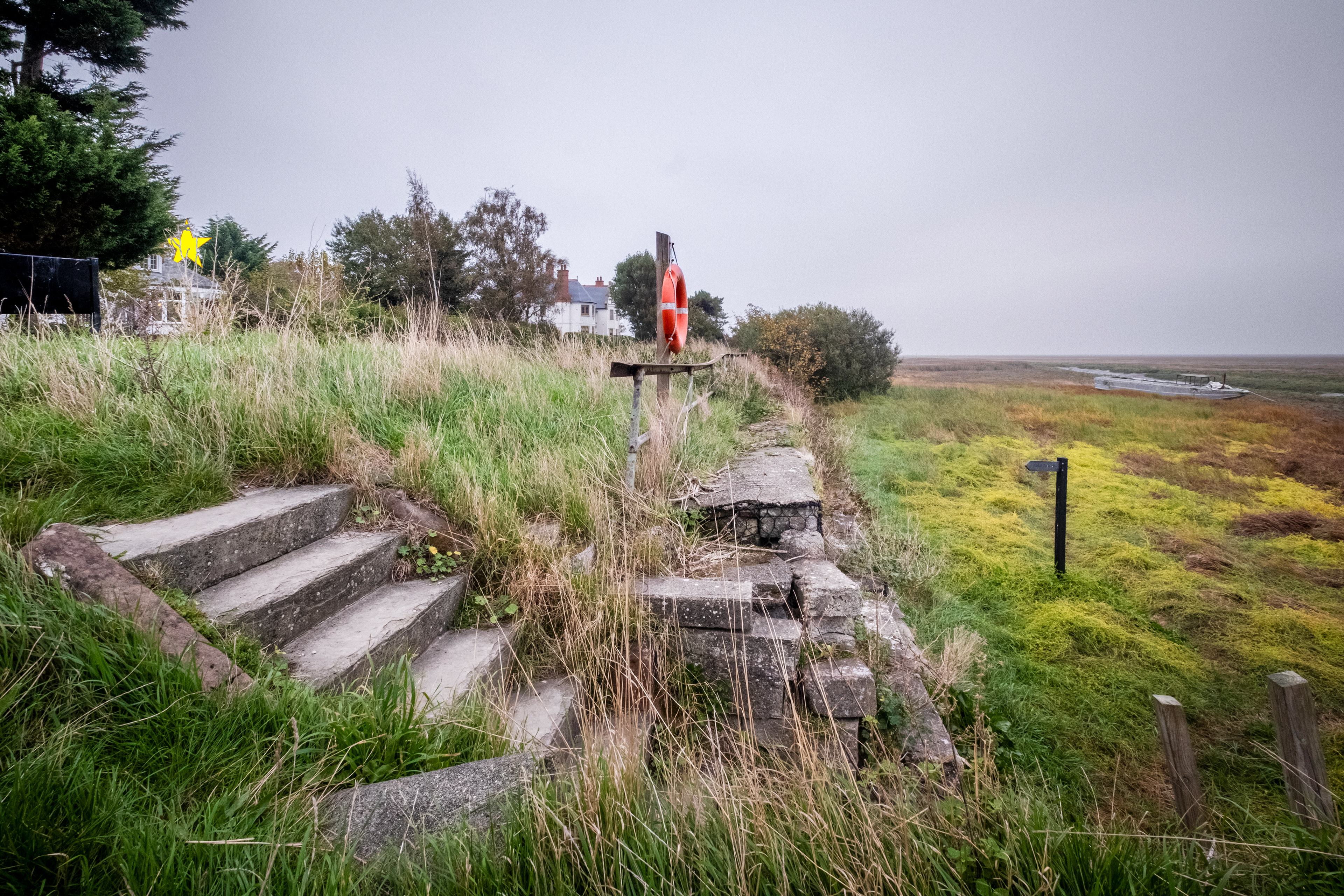
SJ 230 910 - Meals Beach
SJ 240 830 - Thurstaston Beach / England Coastal Path
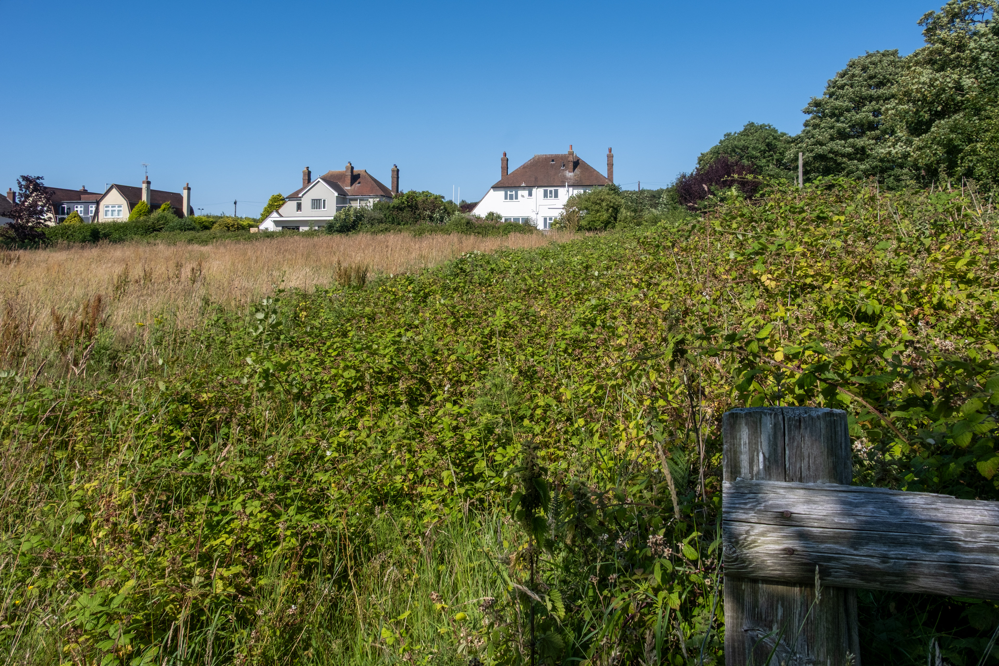
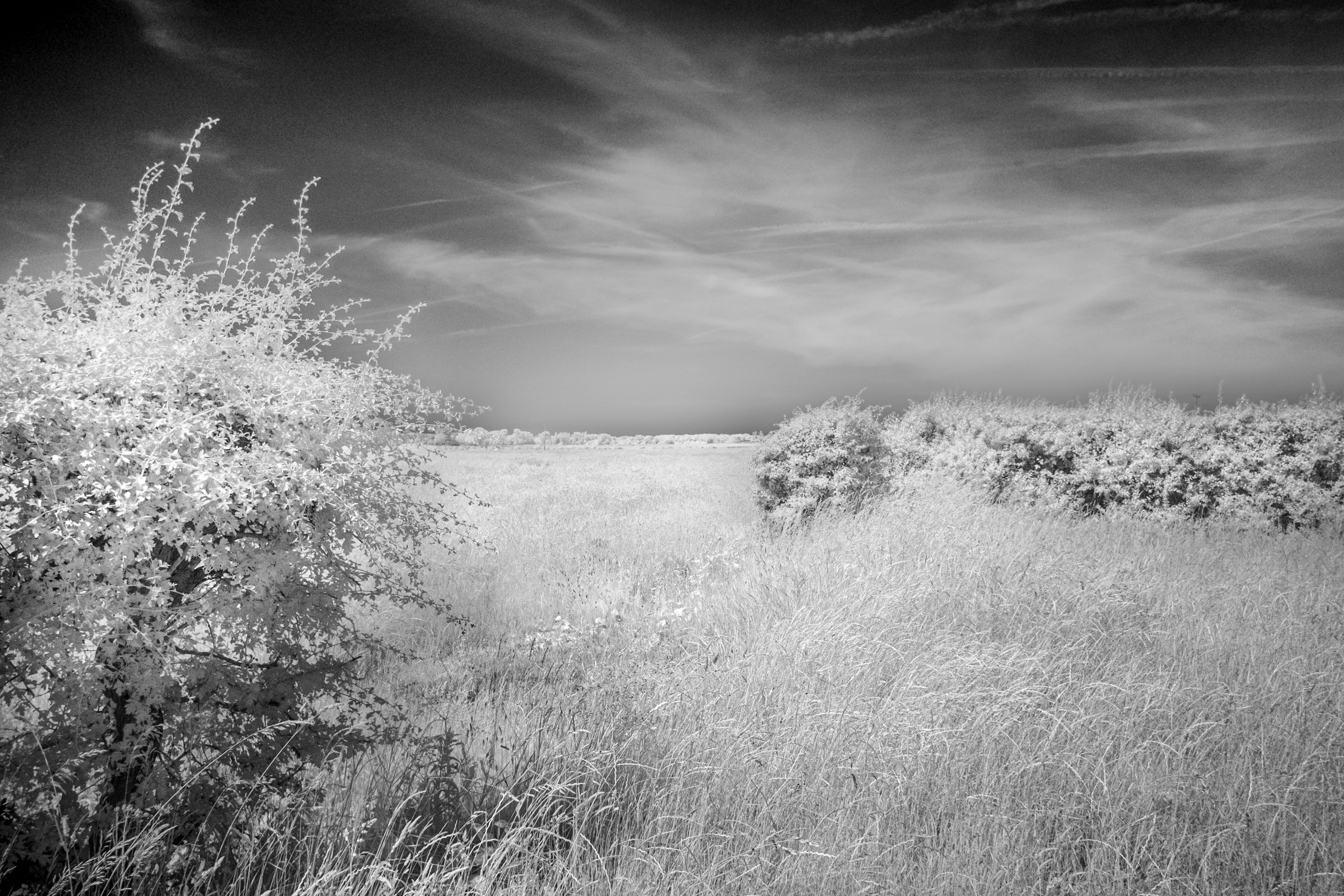
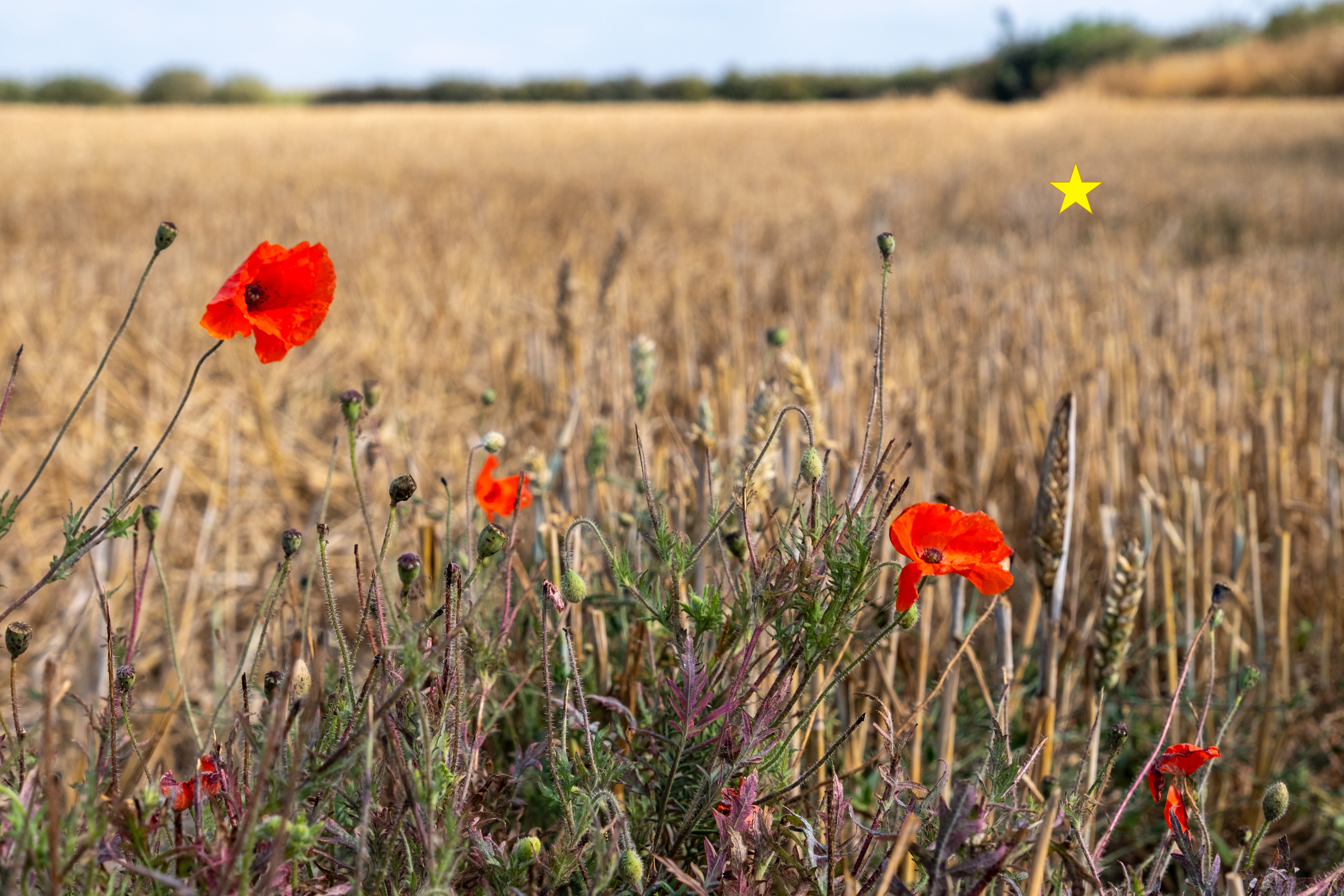
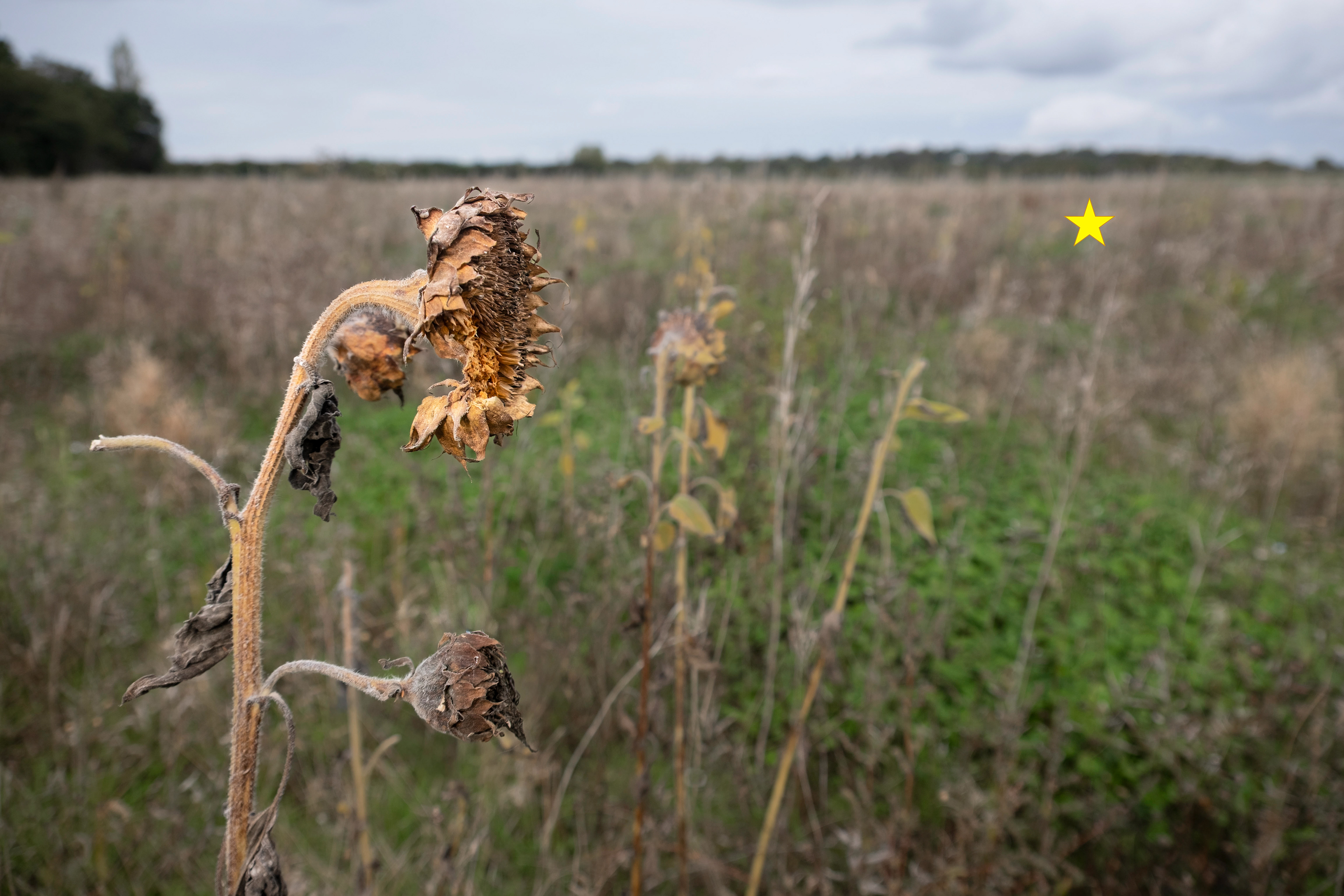
SJ 240 850 - field, Telegraph Road
SJ 240 860 - Torpenhow
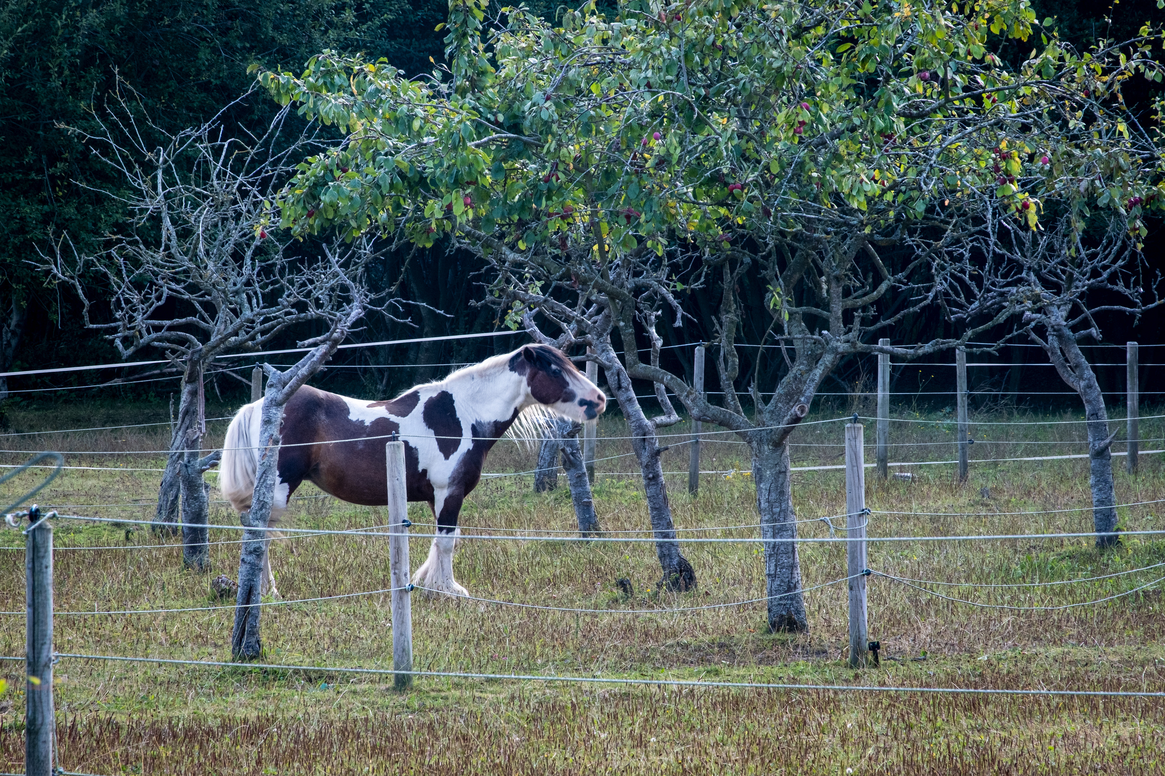
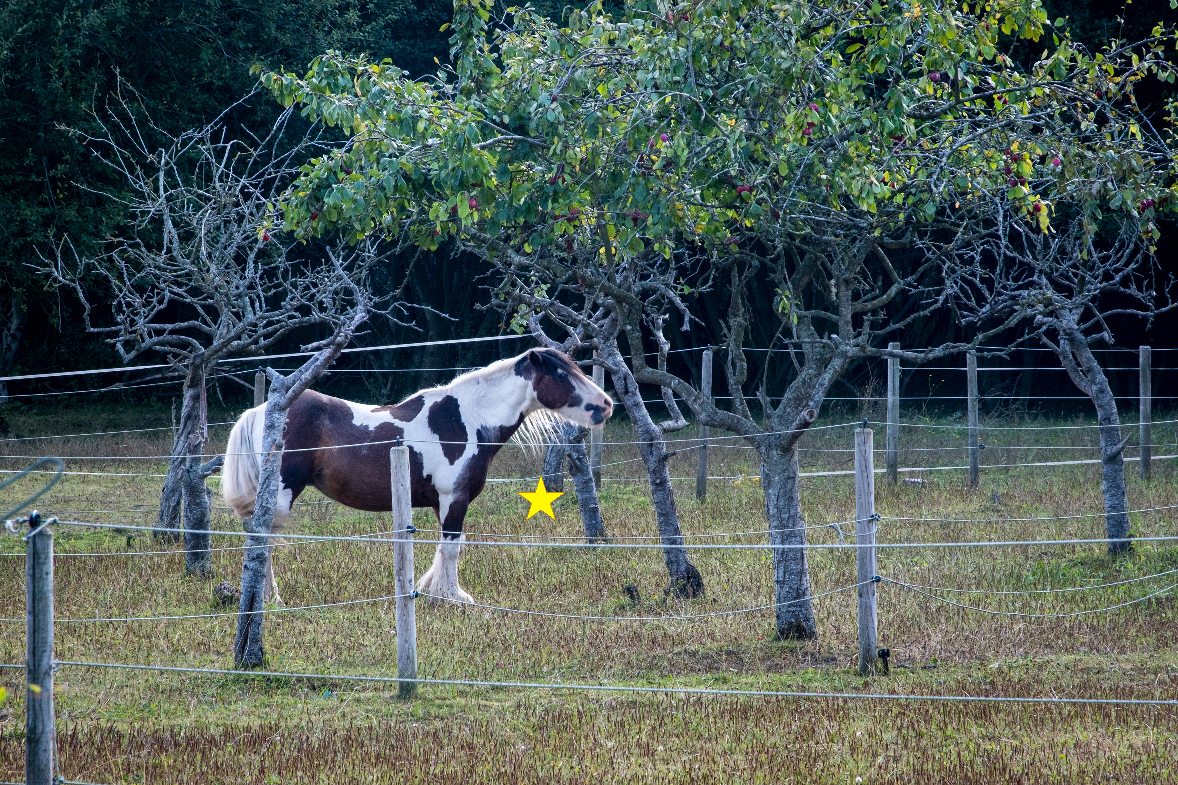
SJ 240 870 - Larton Livery


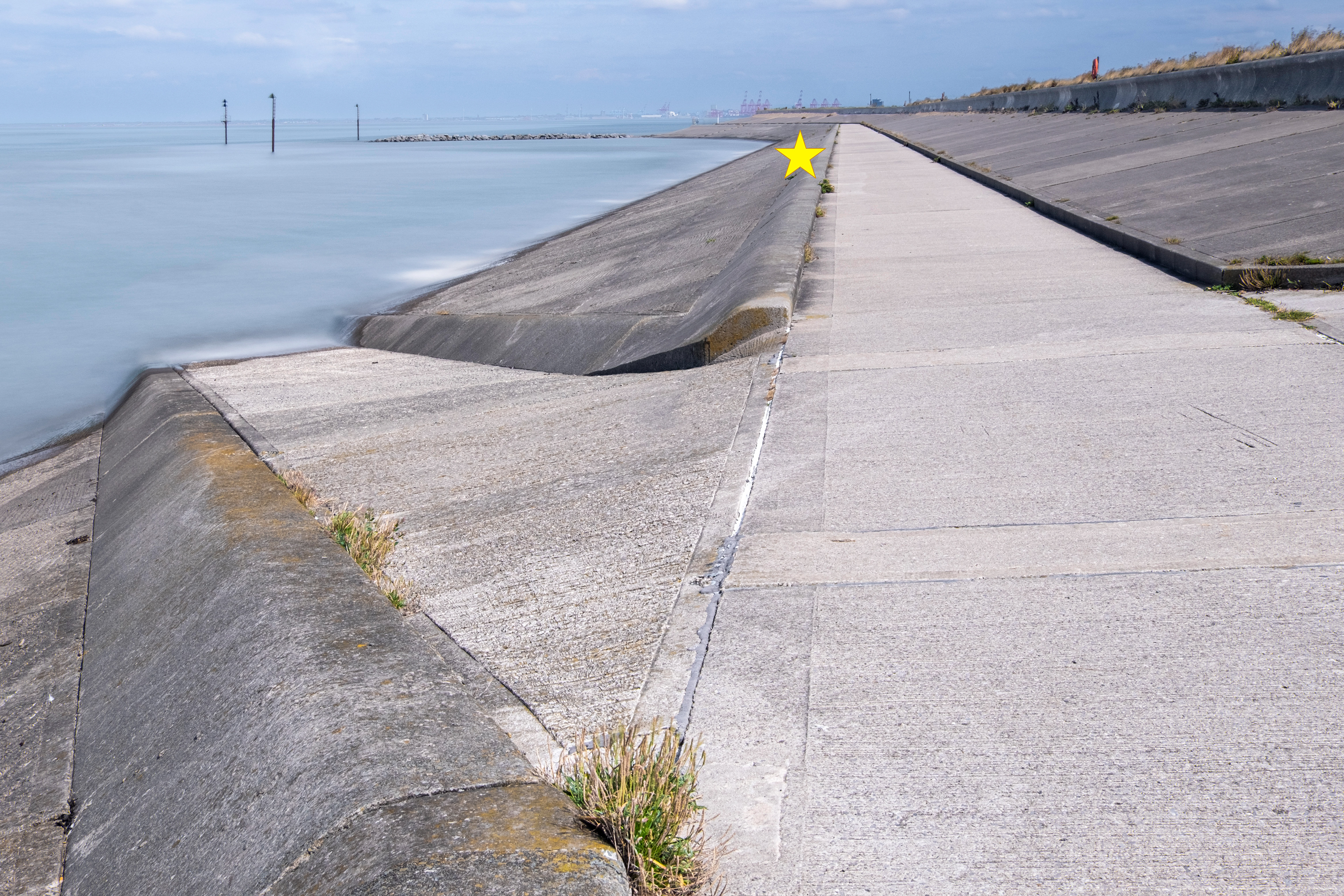
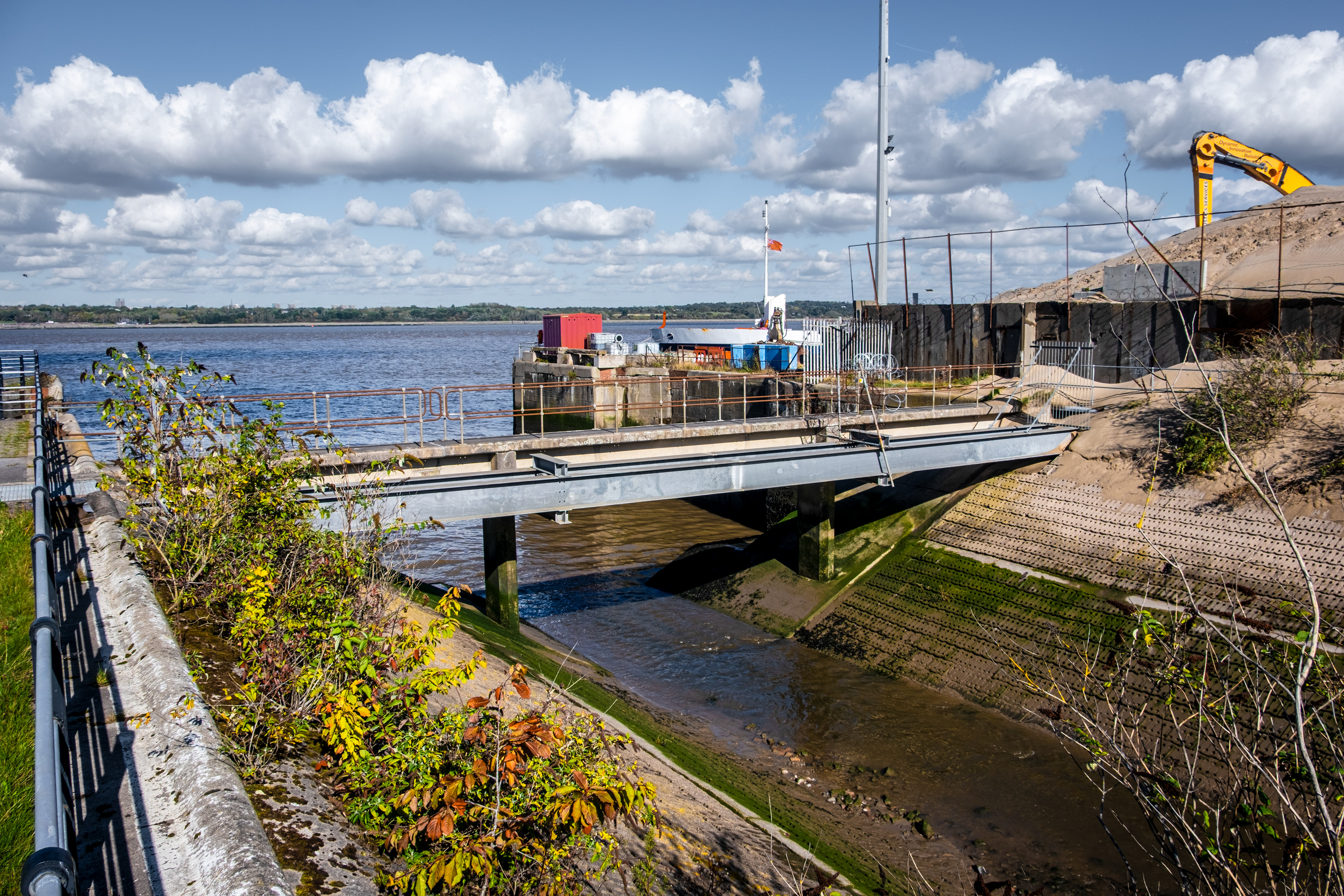
SJ 240 910 - Slipway, Wallasey Embankment
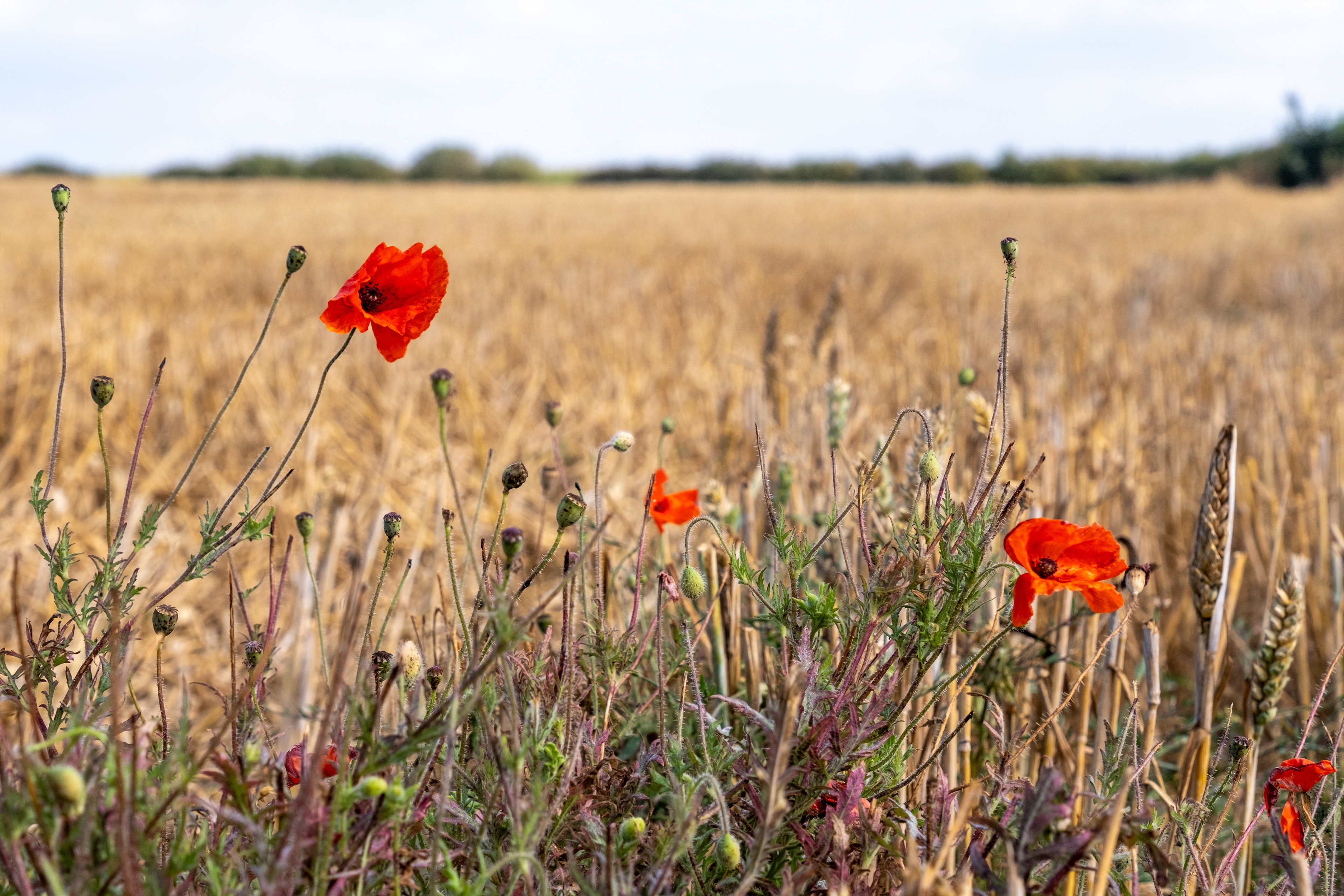
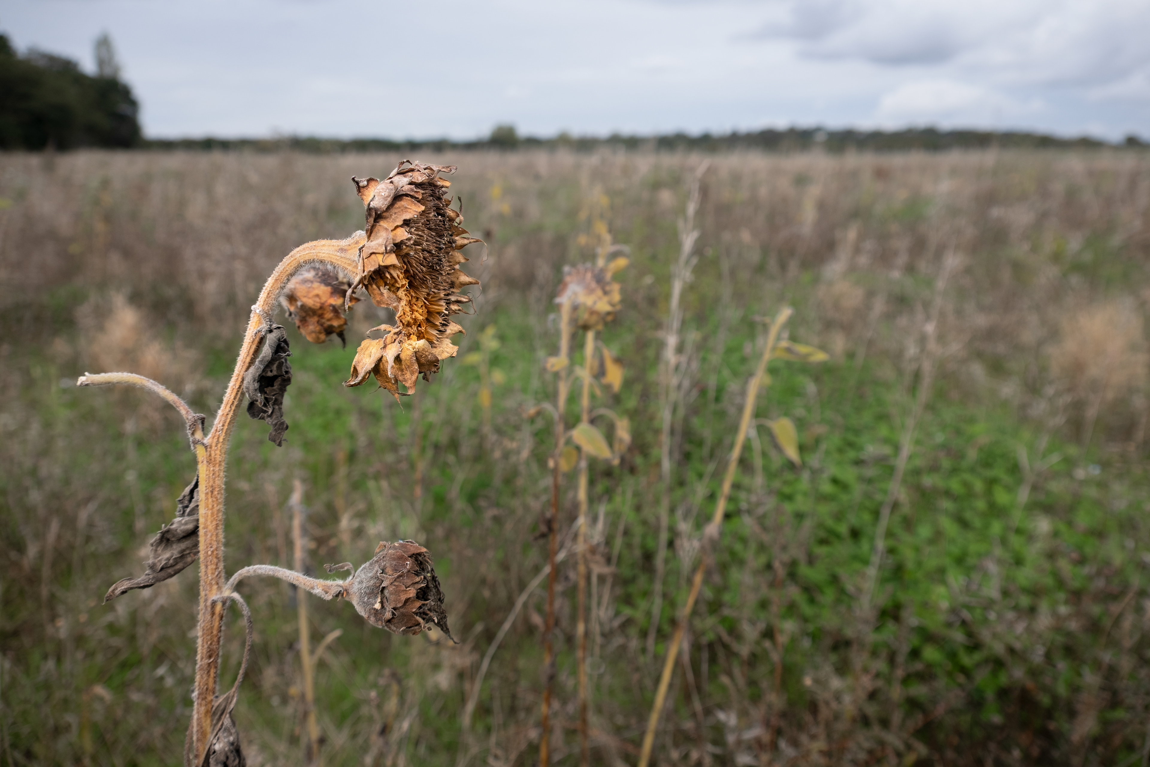
SJ 250 840 - field adjacent to Telegraph Road
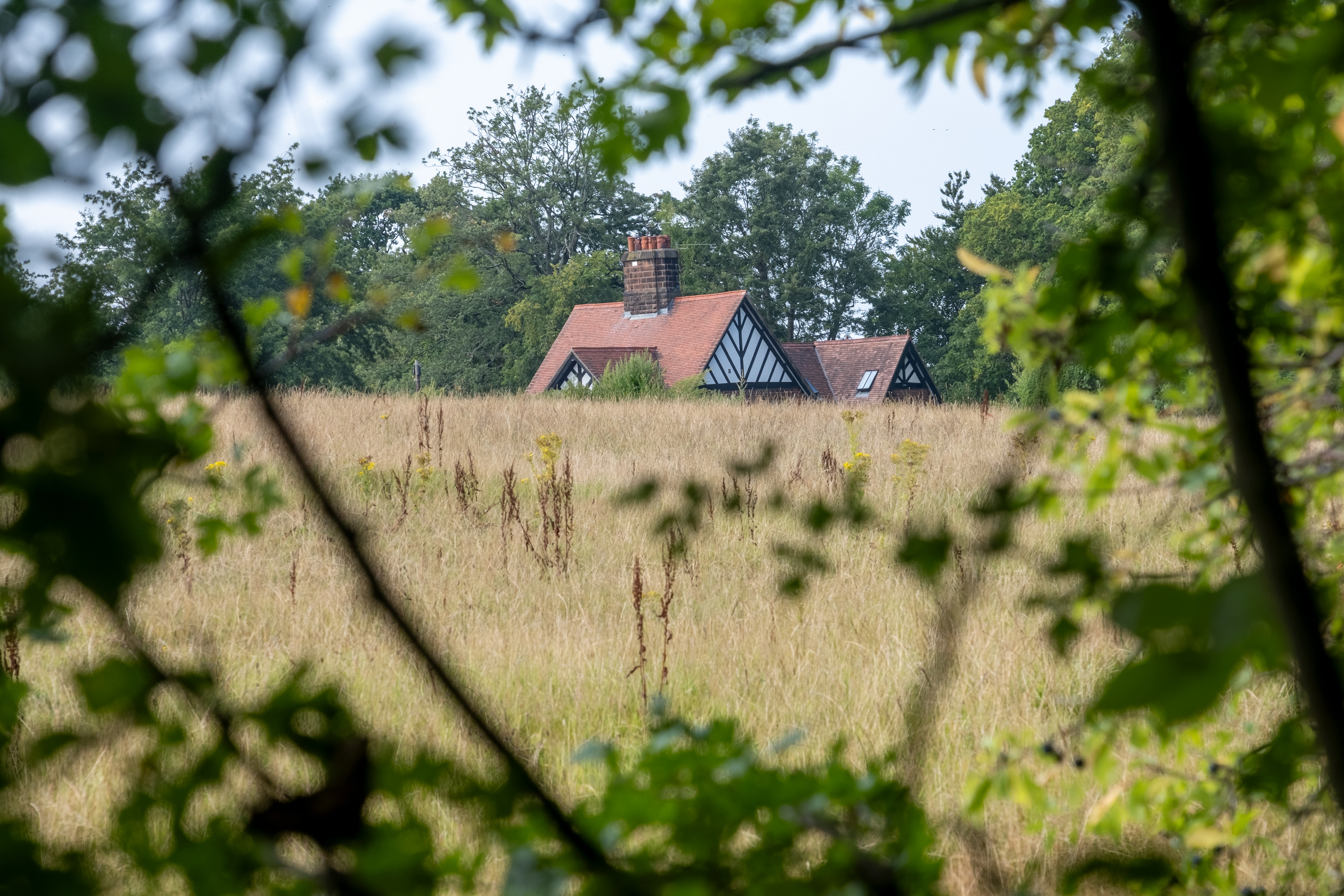
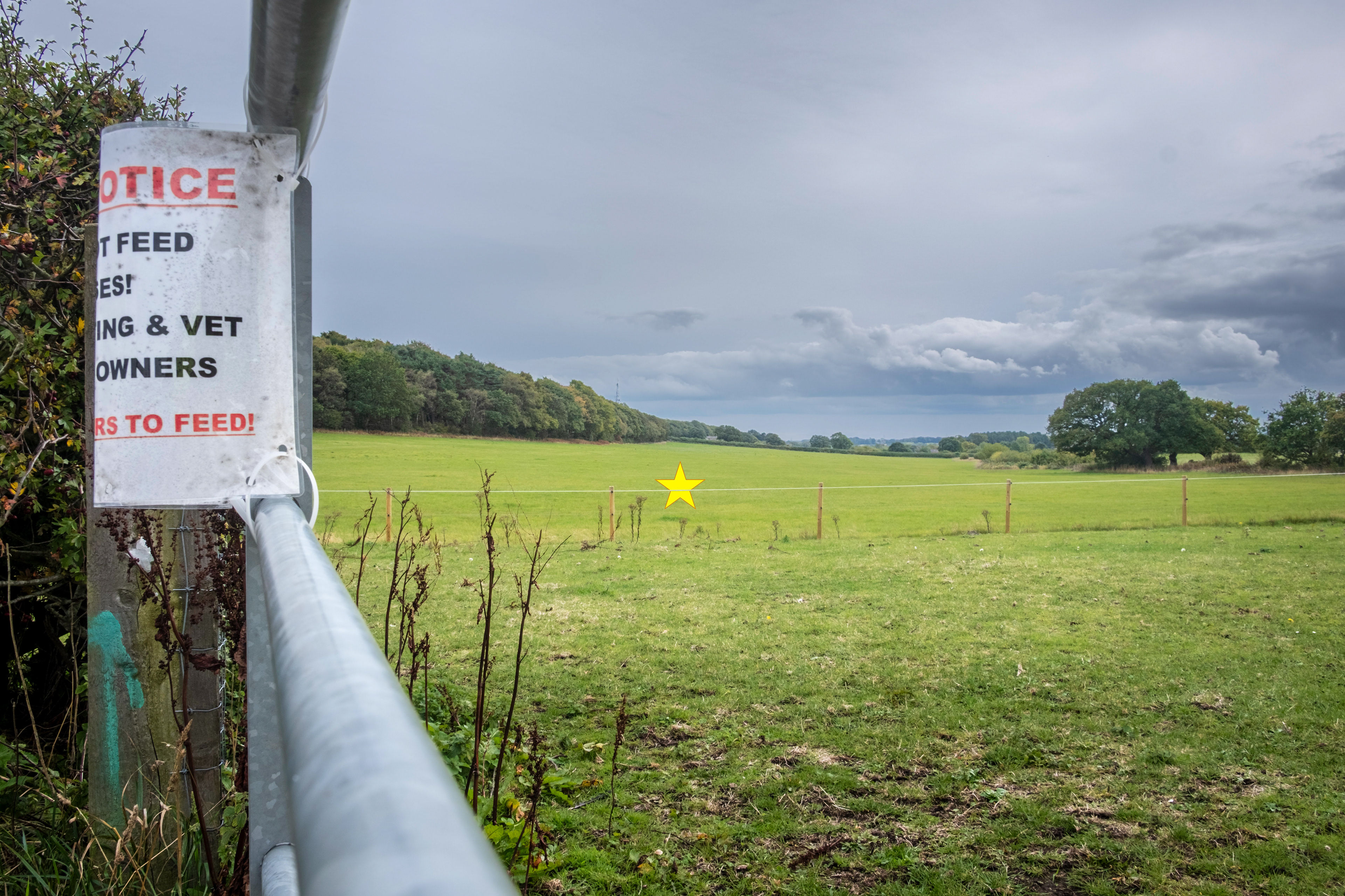
SJ 250 850 - paddocks off Sandy Lane, Irby
SJ 250 860 - field, Hill Bark Road


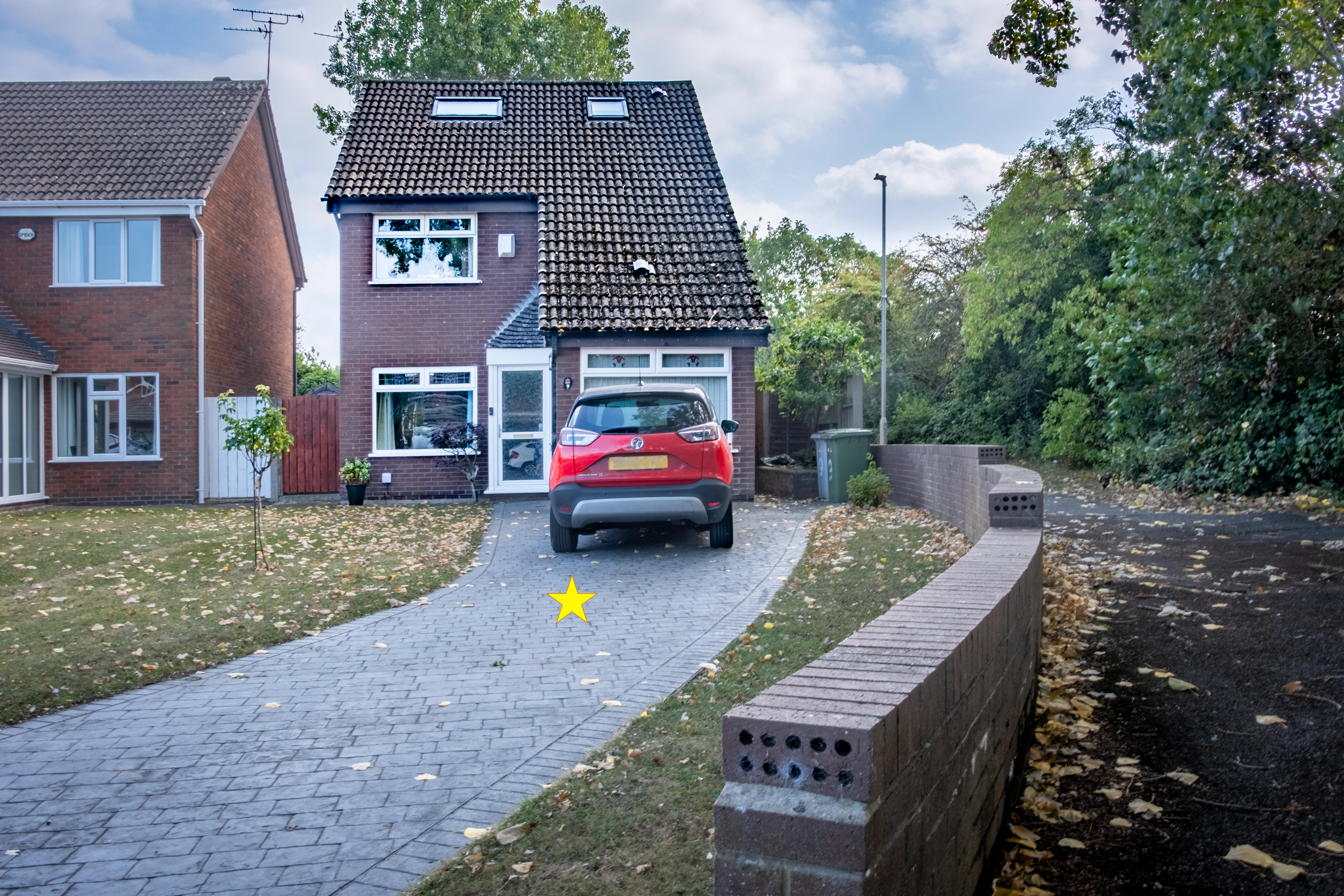
SJ 250 870 - Langstone Avenue, Greasby
SJ 260 810 - Lower Heswall

SJ 260 820 - The Dales, Heswall
SJ 270 870 - Arrowe Park
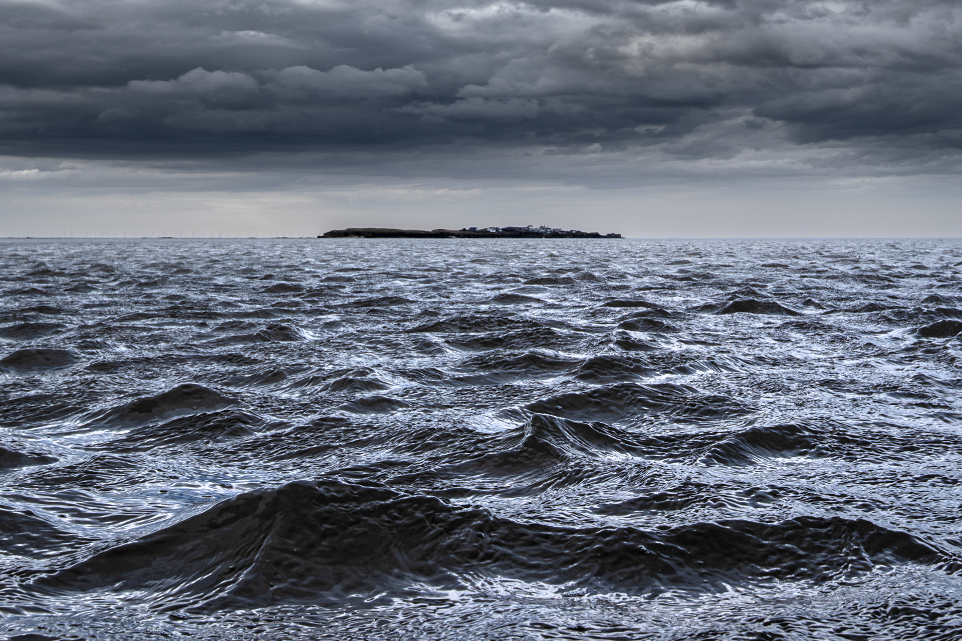
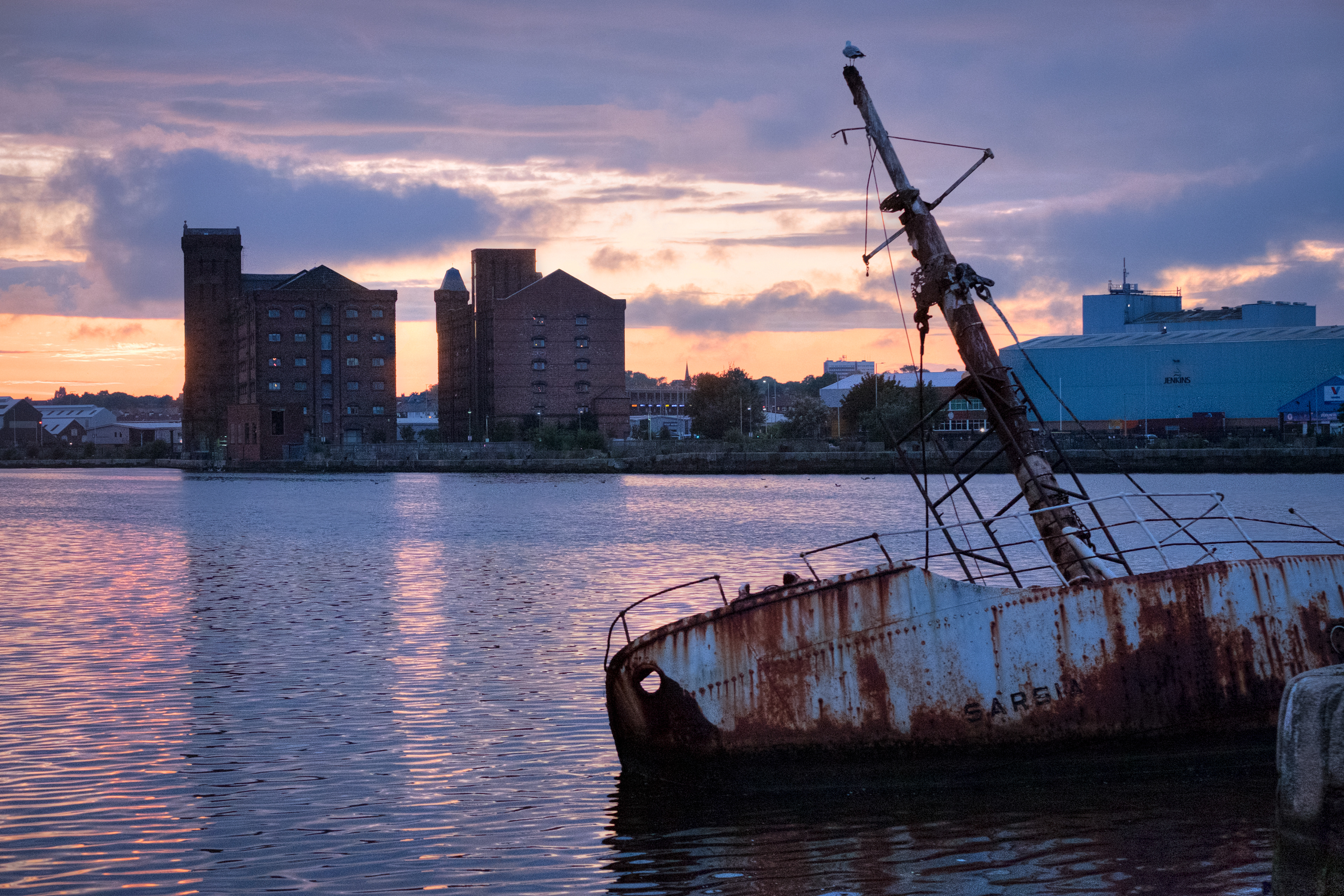
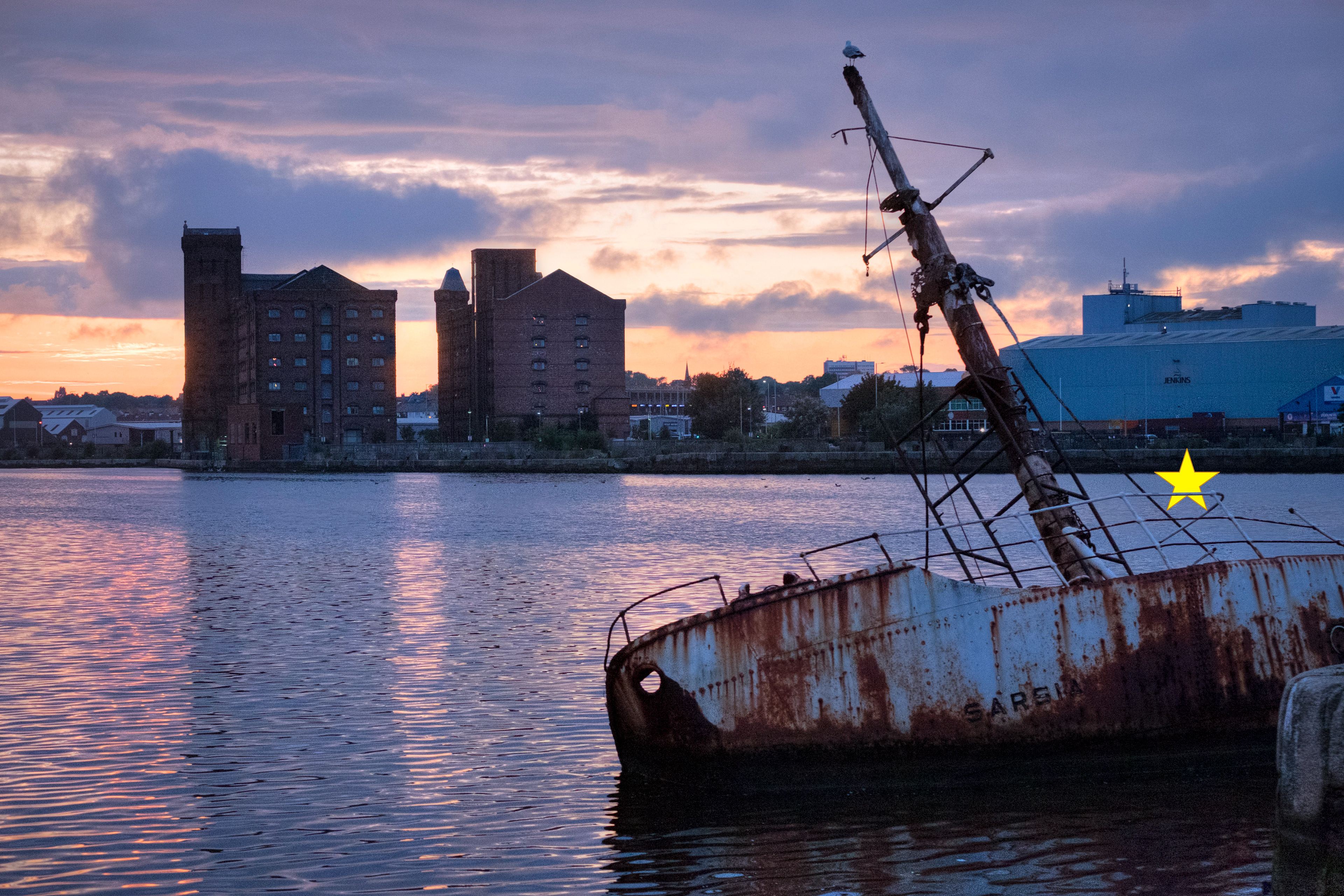
SJ 270 940 - Wreck of the SS Denham
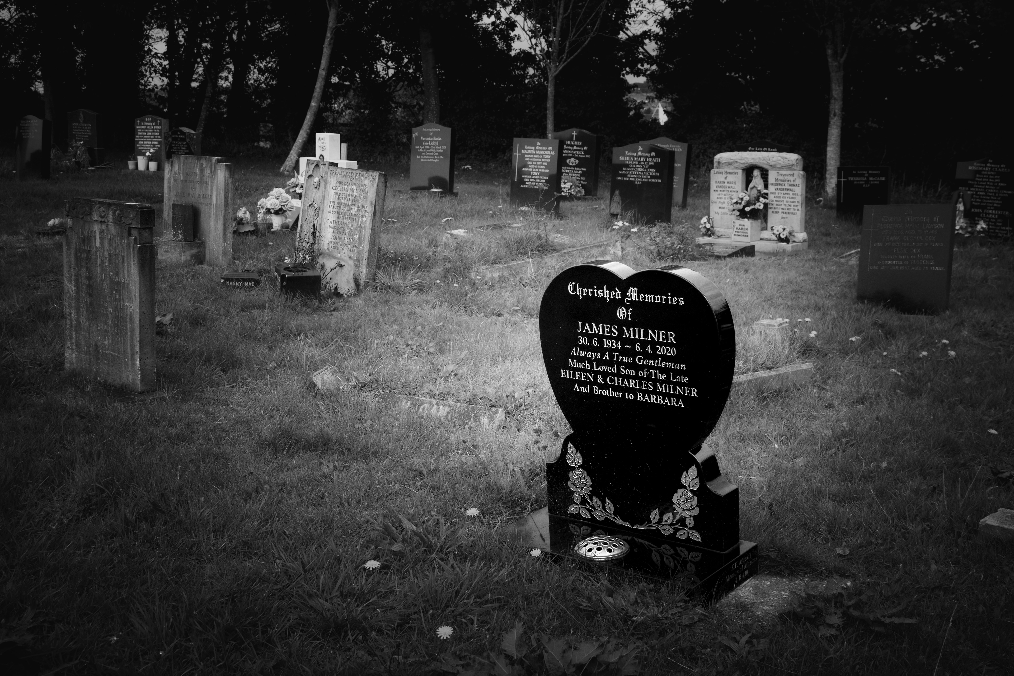
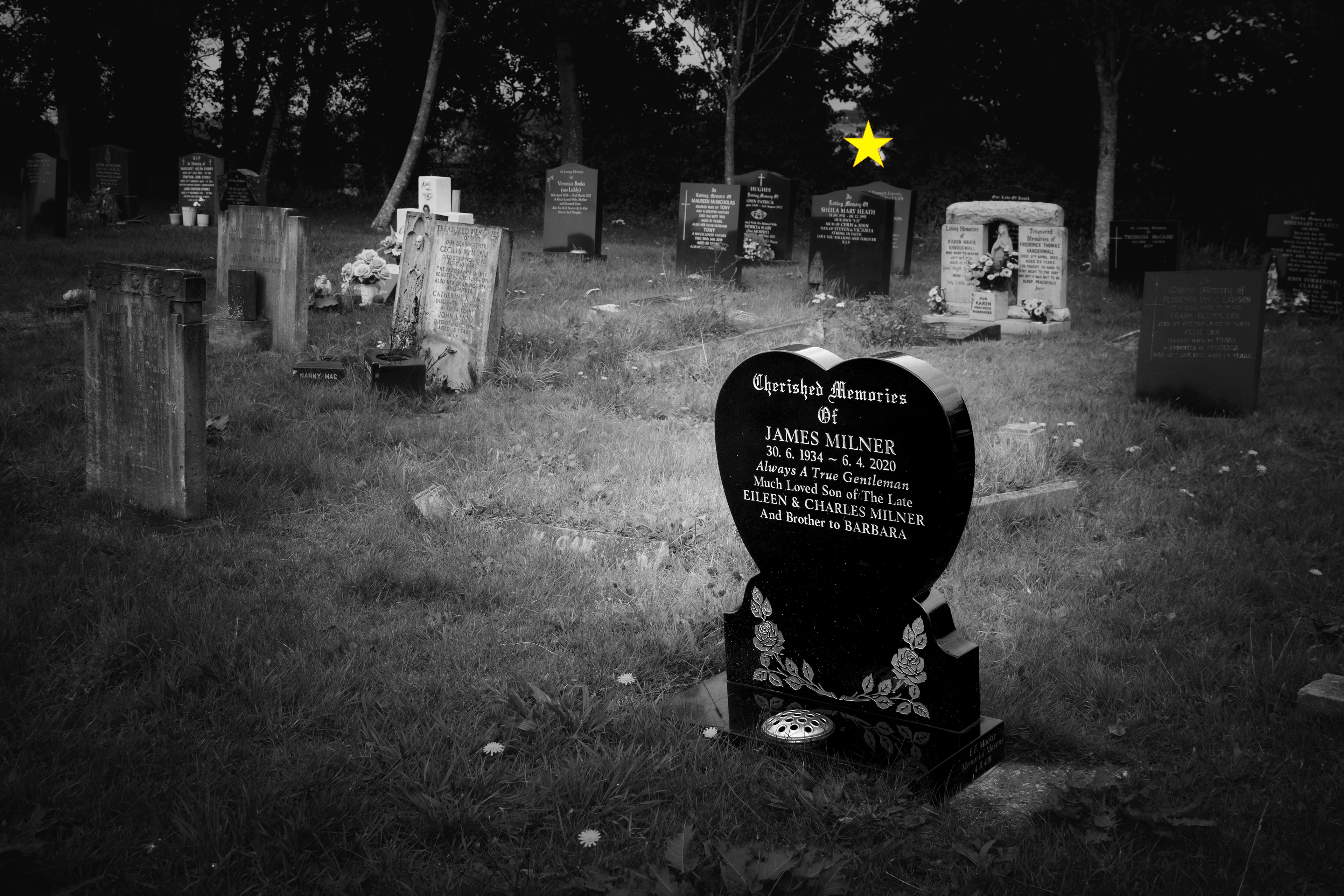
SJ 280 860 - Landican Cemetery
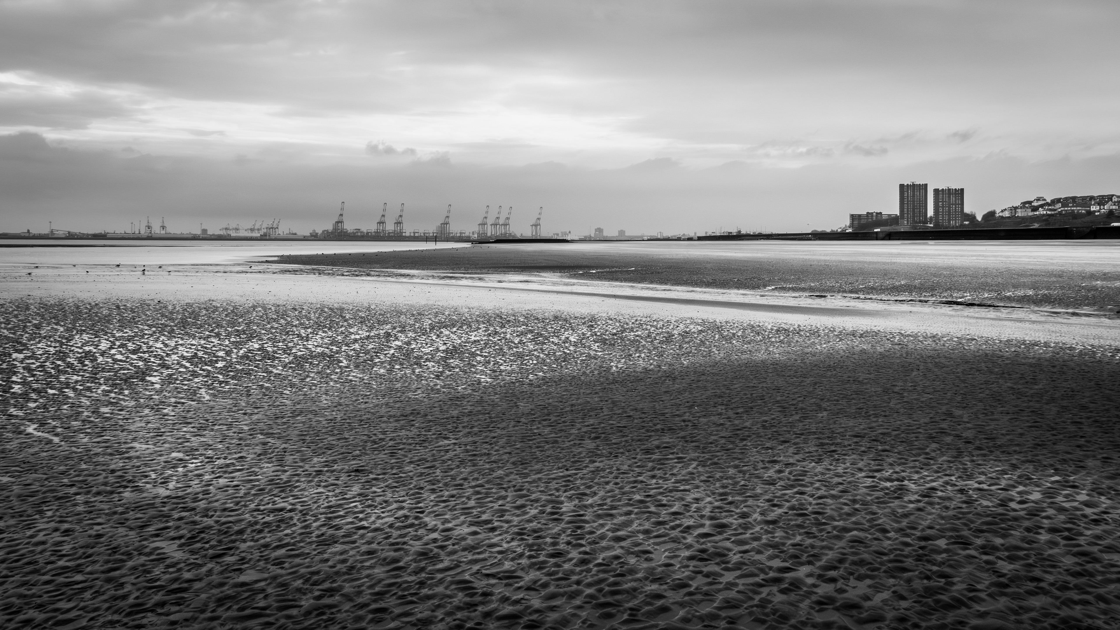
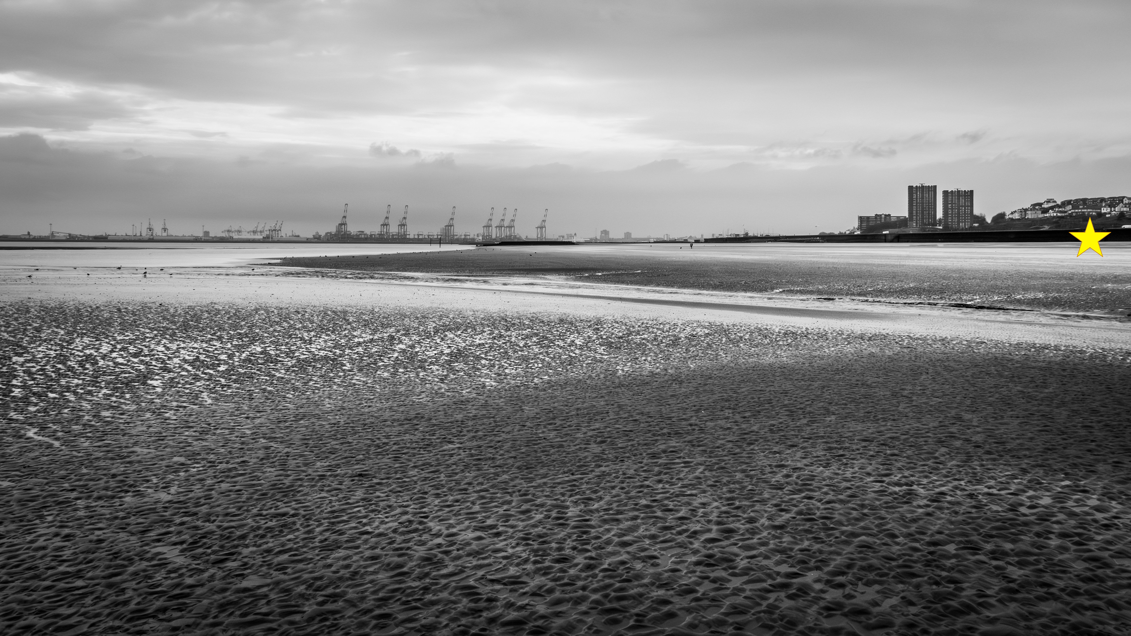
SJ 280 930 - Mockbeggar Wharf

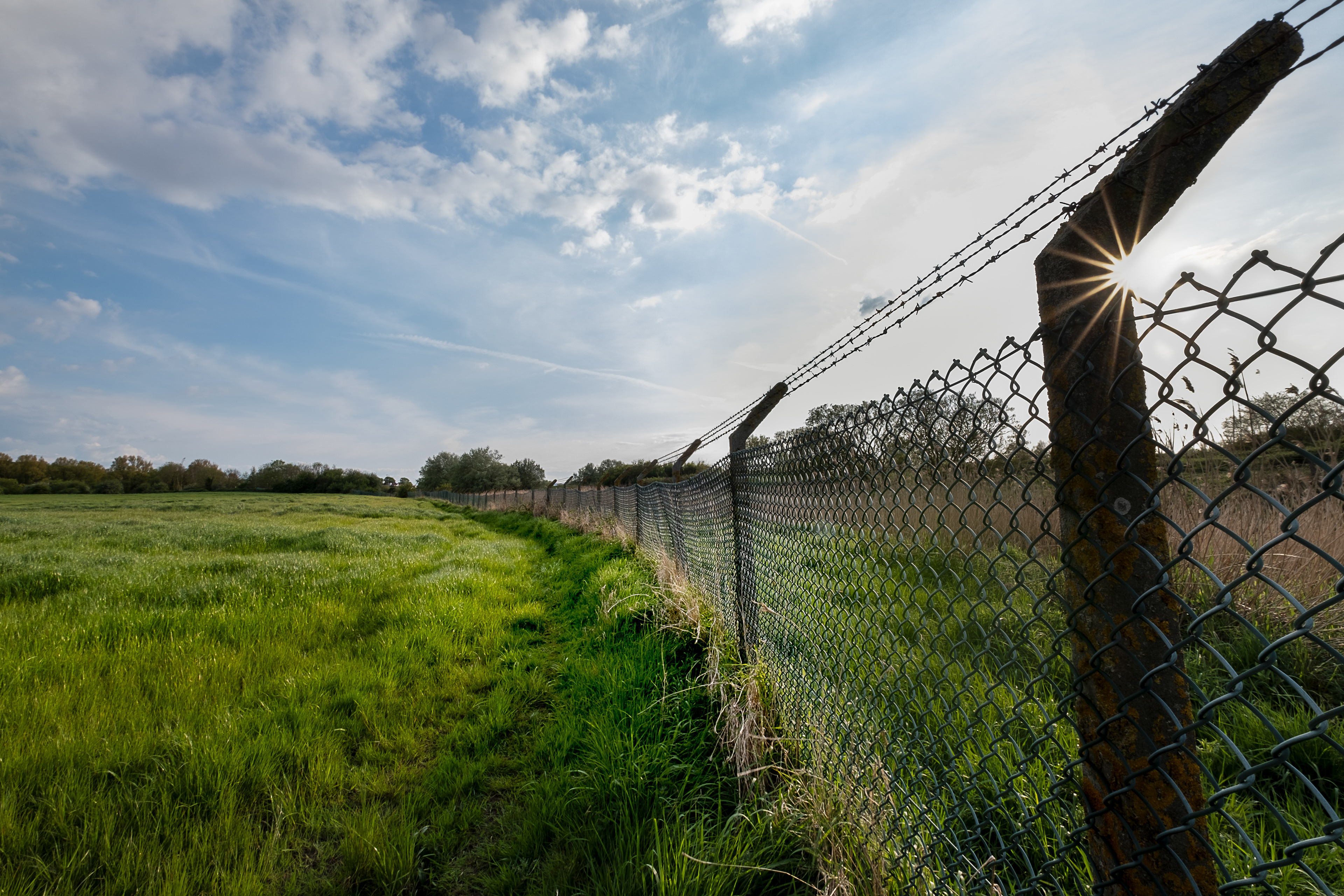
SJ 290 850 - National Cycle Network, route 56
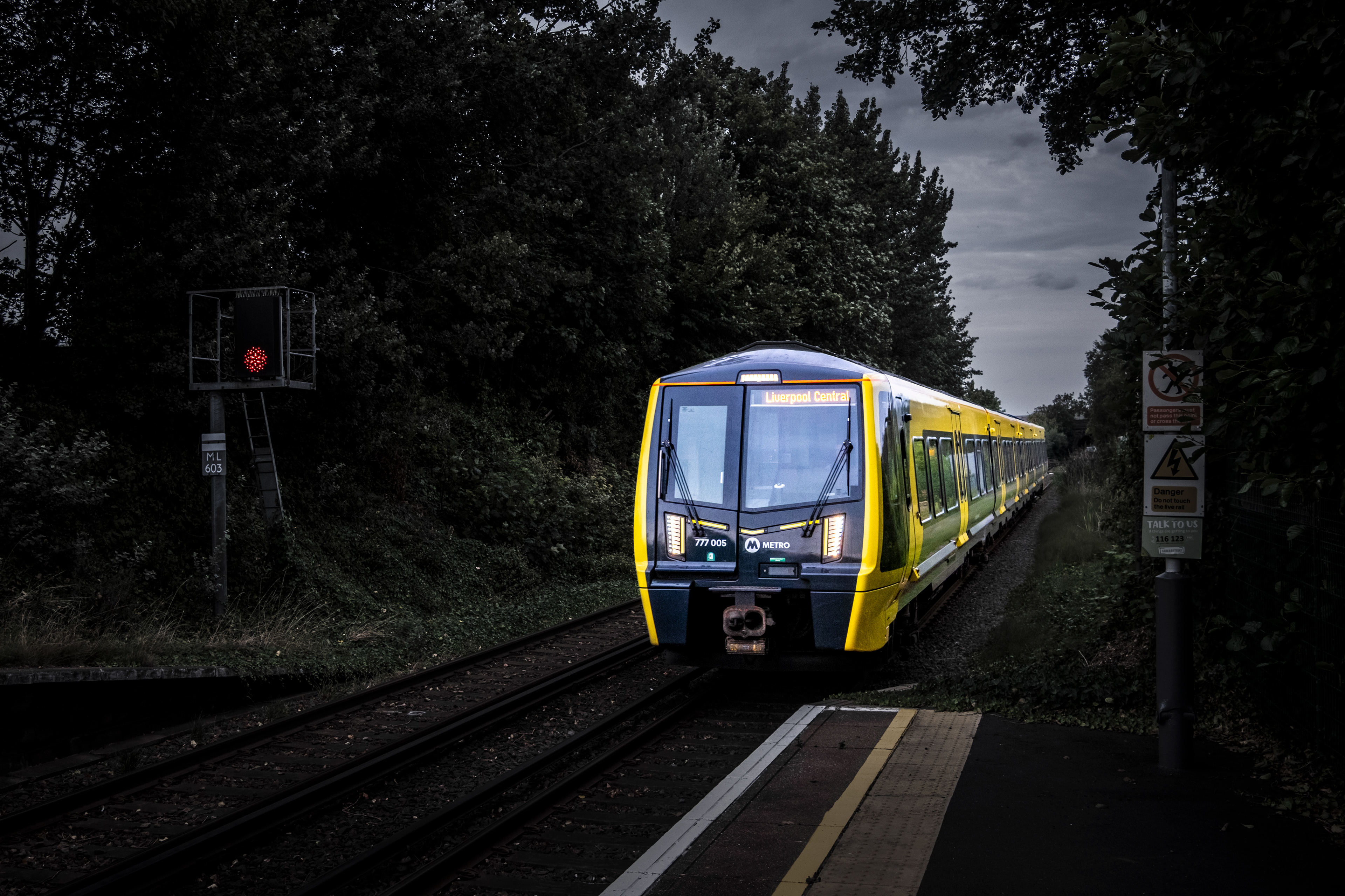
SJ 290 930 - Wallasey Grove Road station

SJ 290 940 - New Brighton beach
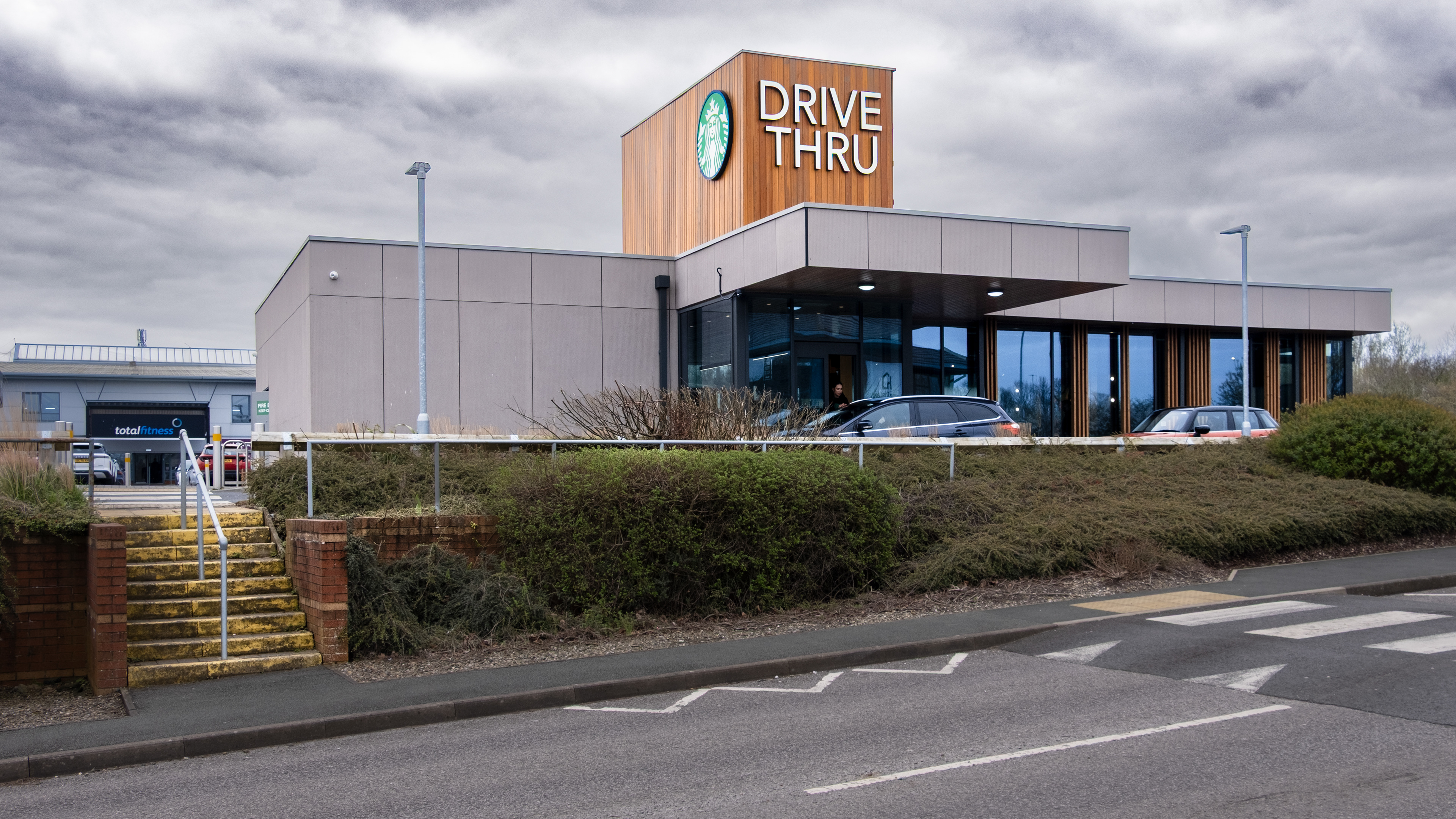
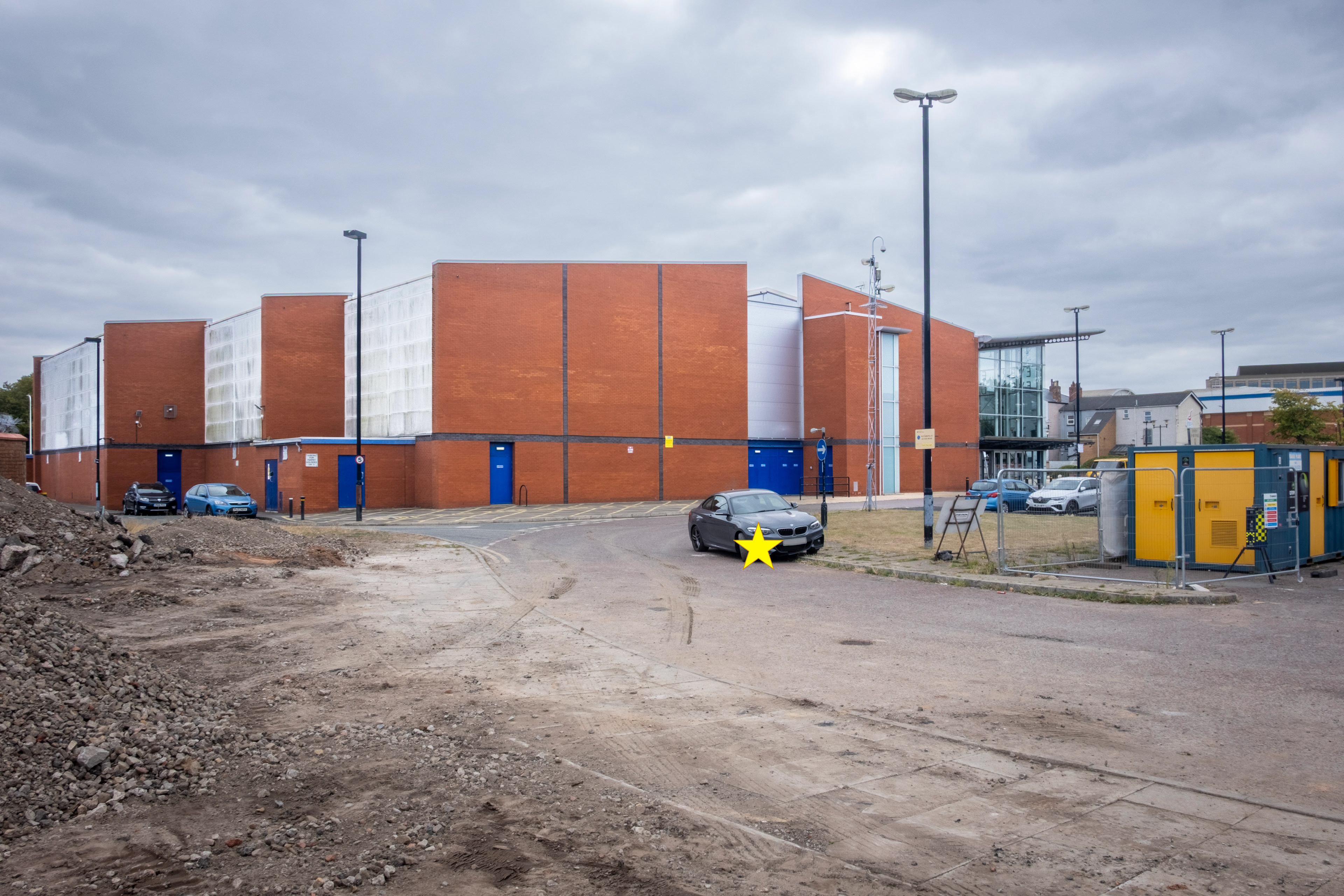
SJ 290 860 - Total Fitness, Prenton

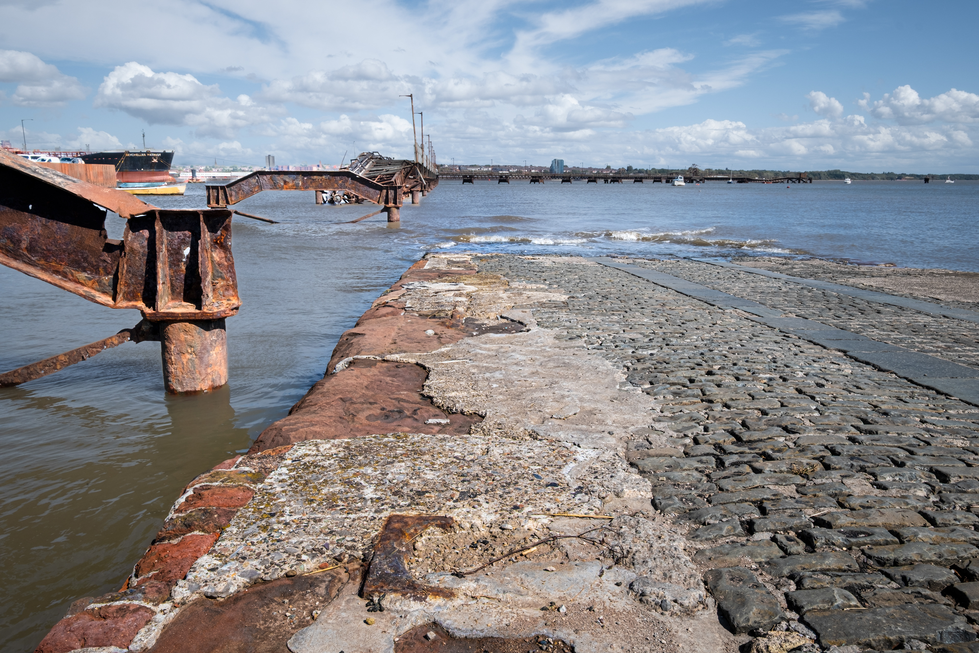
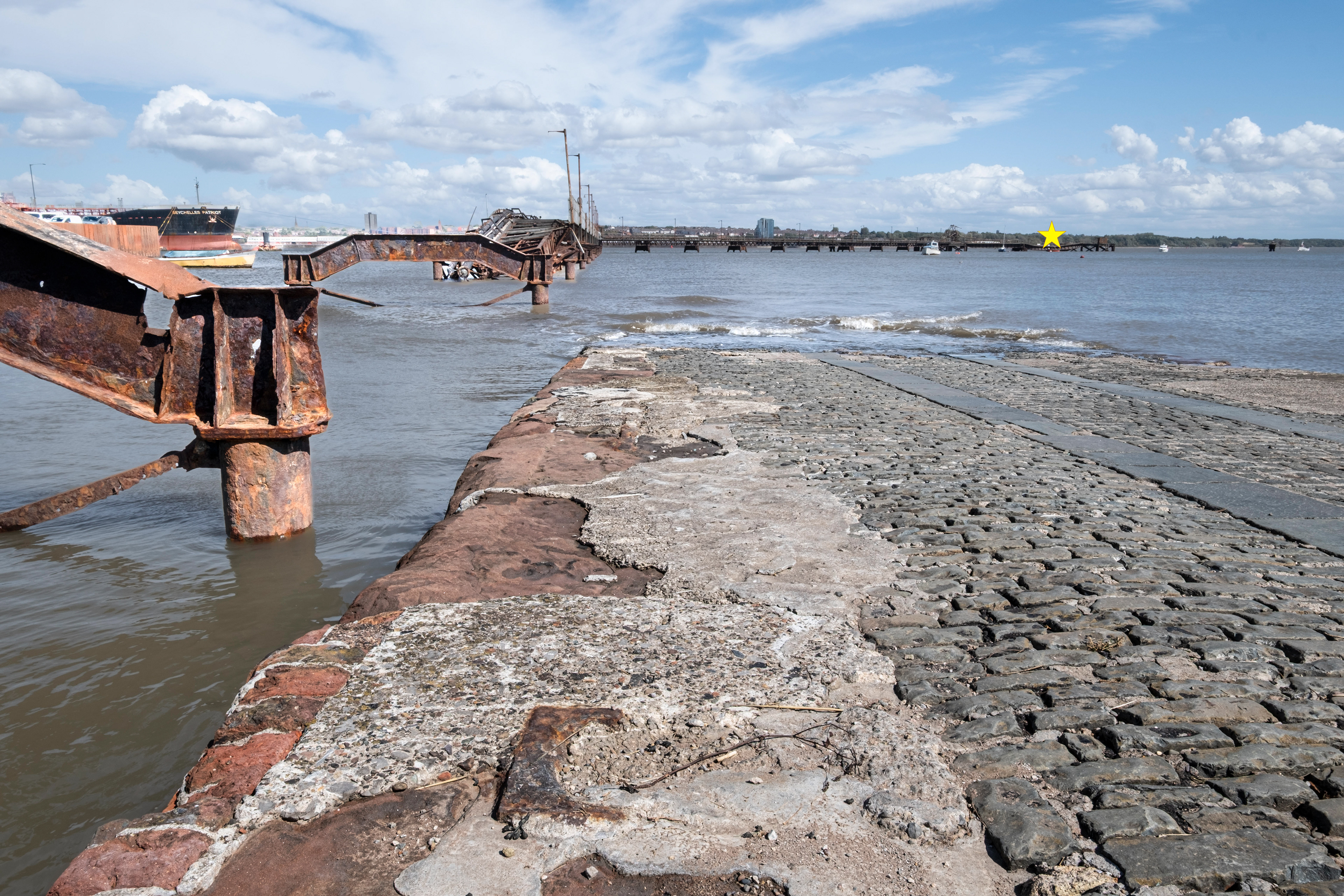
SJ 300 910 - Bidston Dock

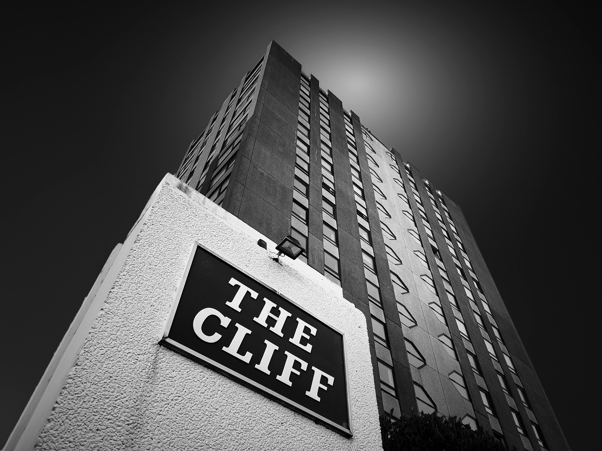
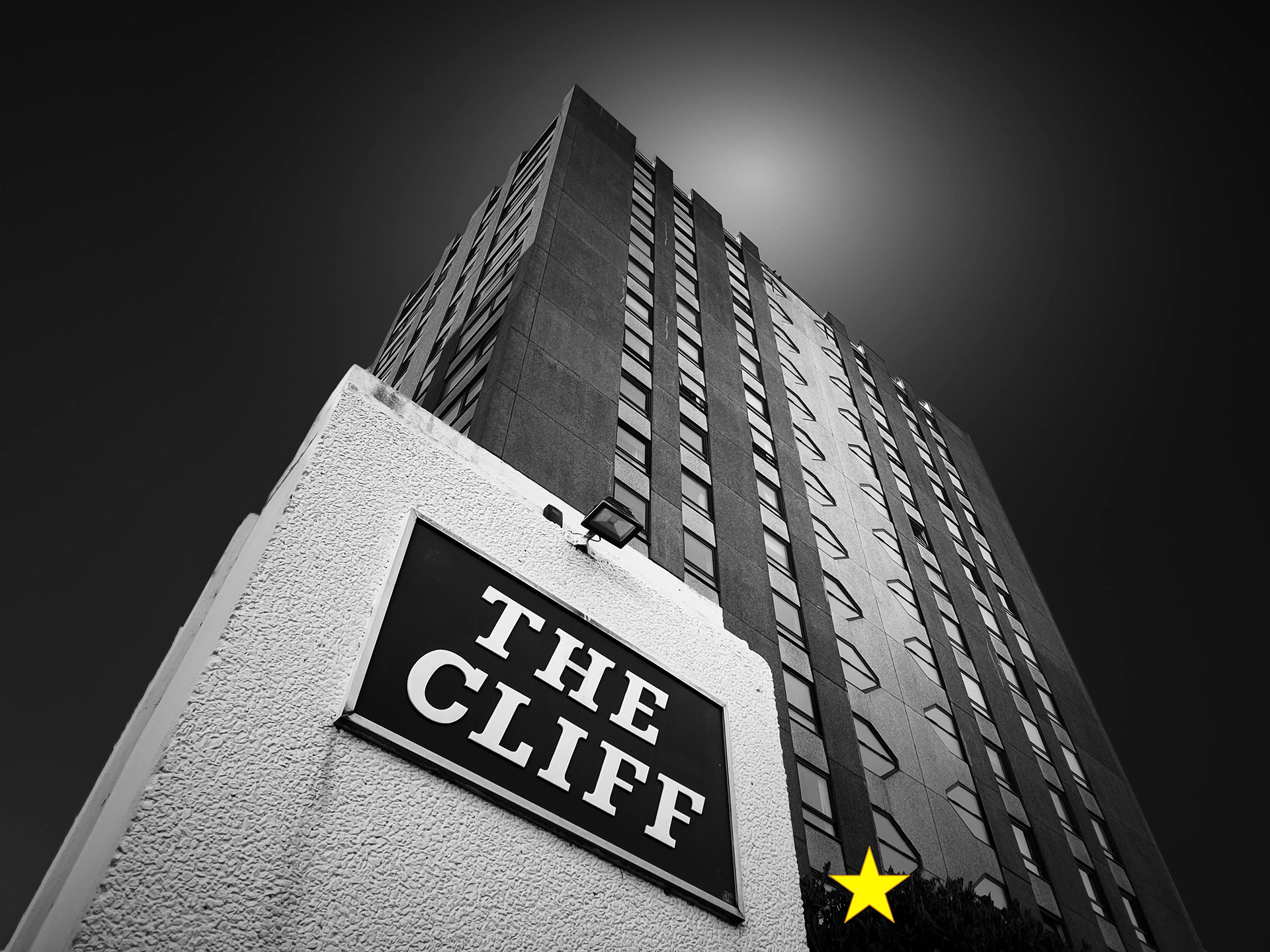
SJ 300 940 - The Cliff
SJ 300 900 - Avon Street, Birkenhead
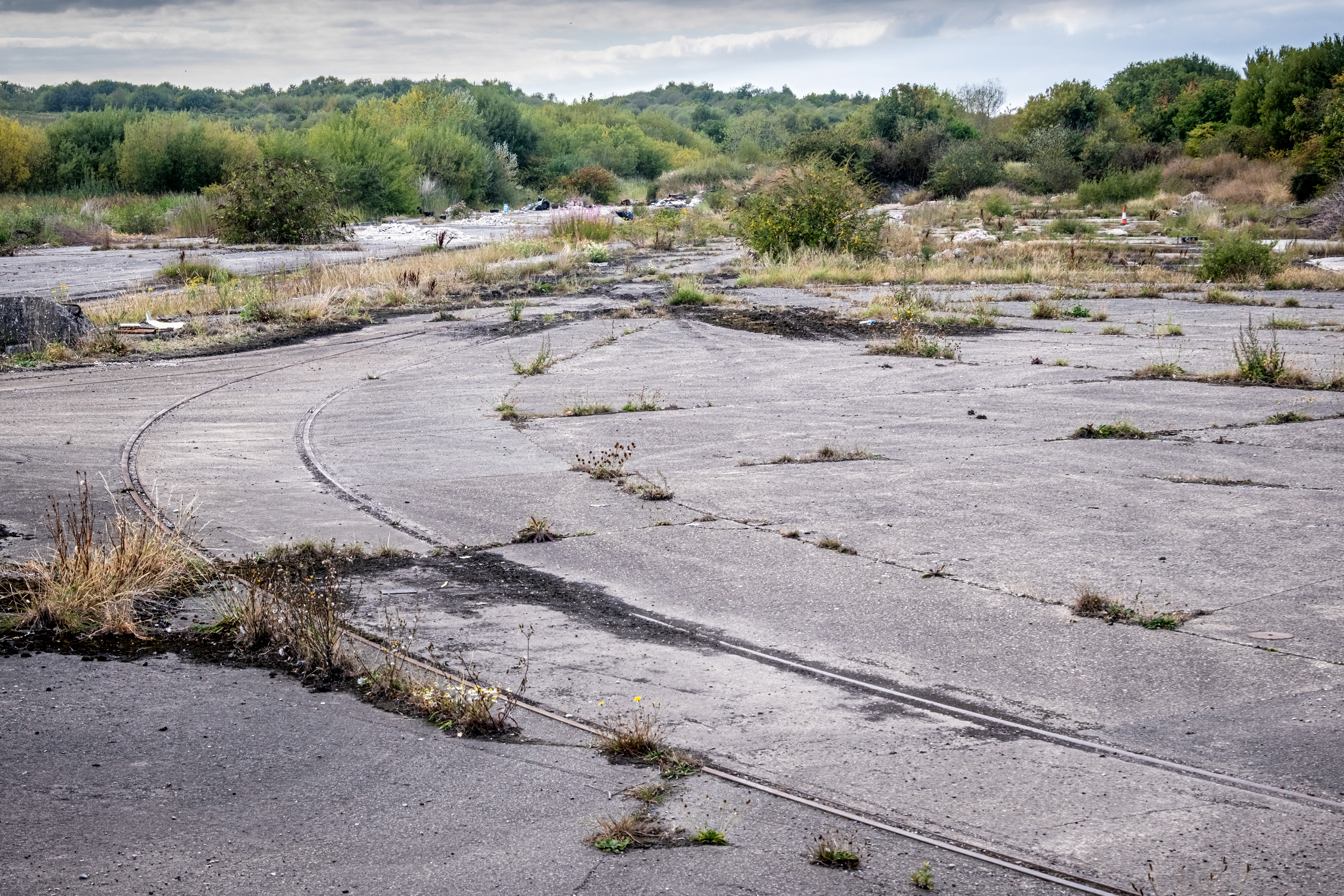
SJ 300 850 - Cow Hey

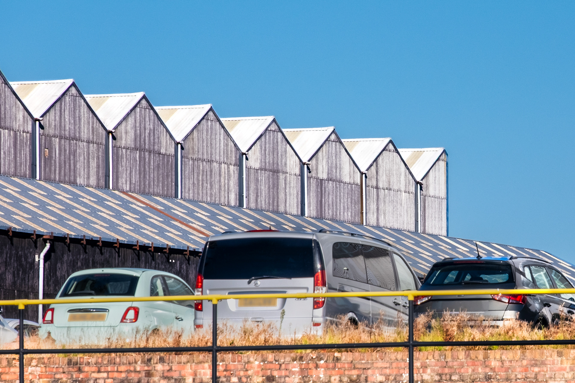
SJ 310 850 - Storeton

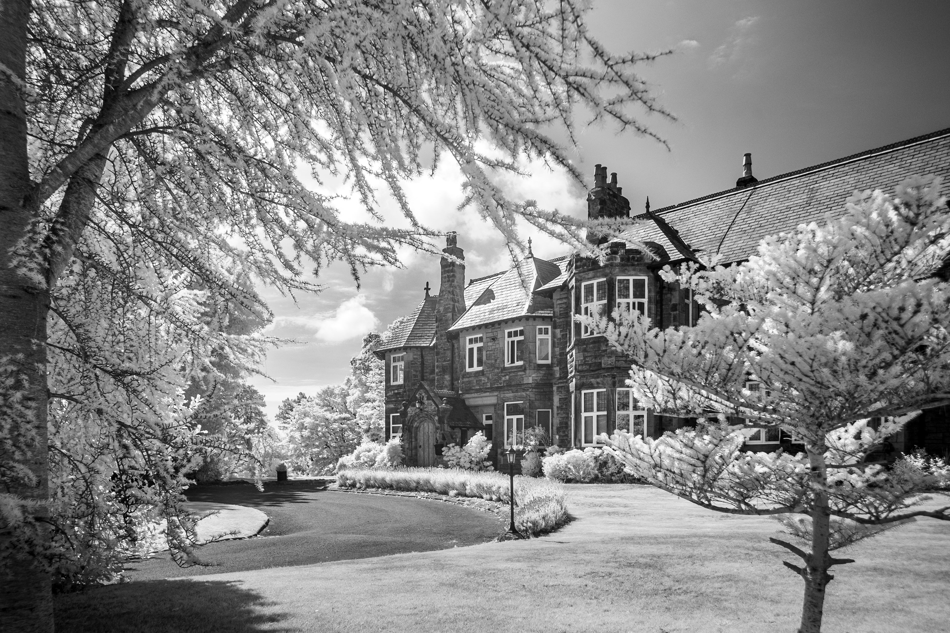
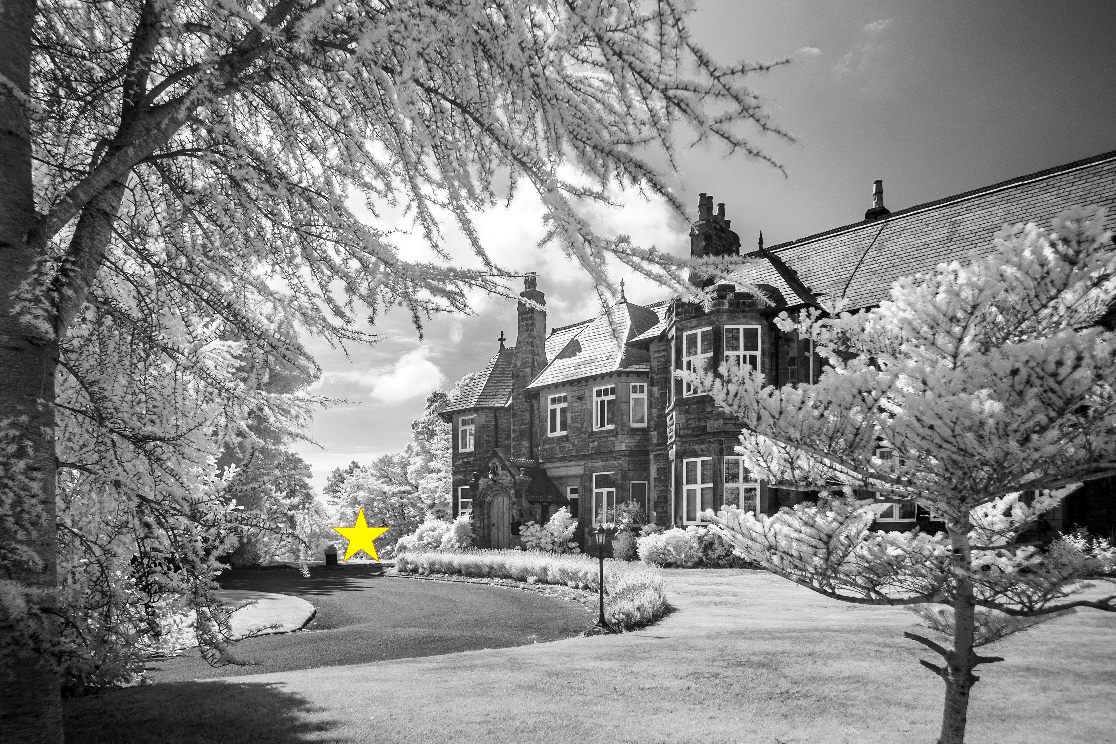
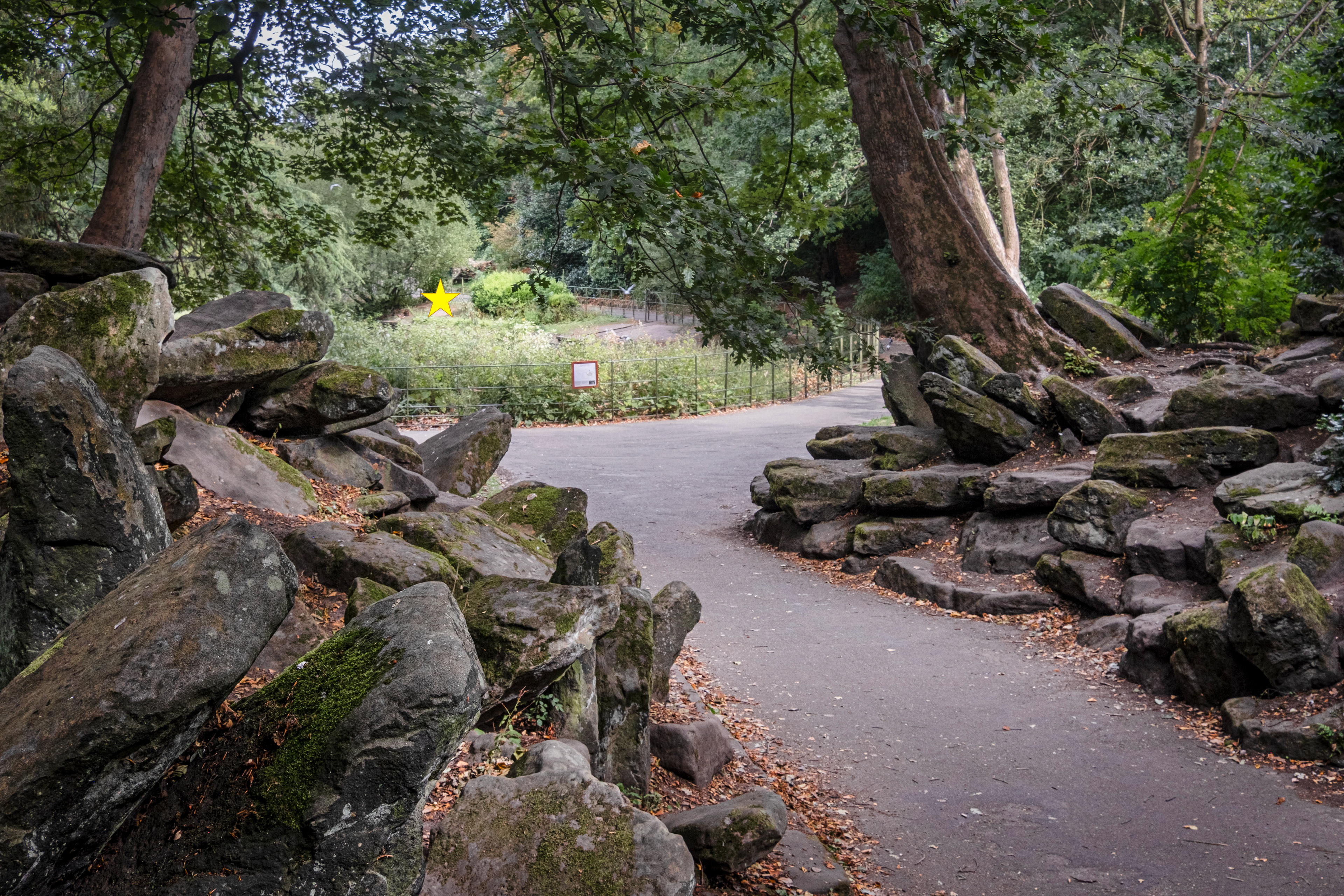
SJ 310 890 - Birkenhead Park
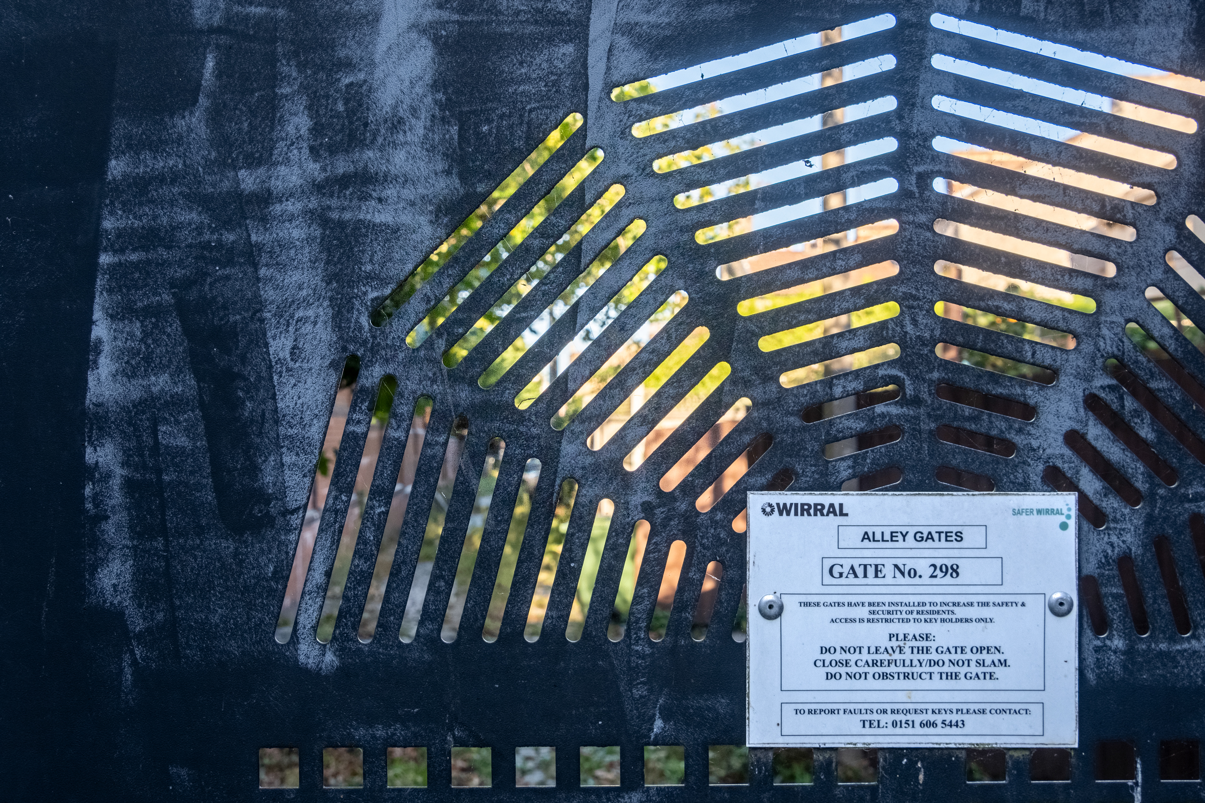
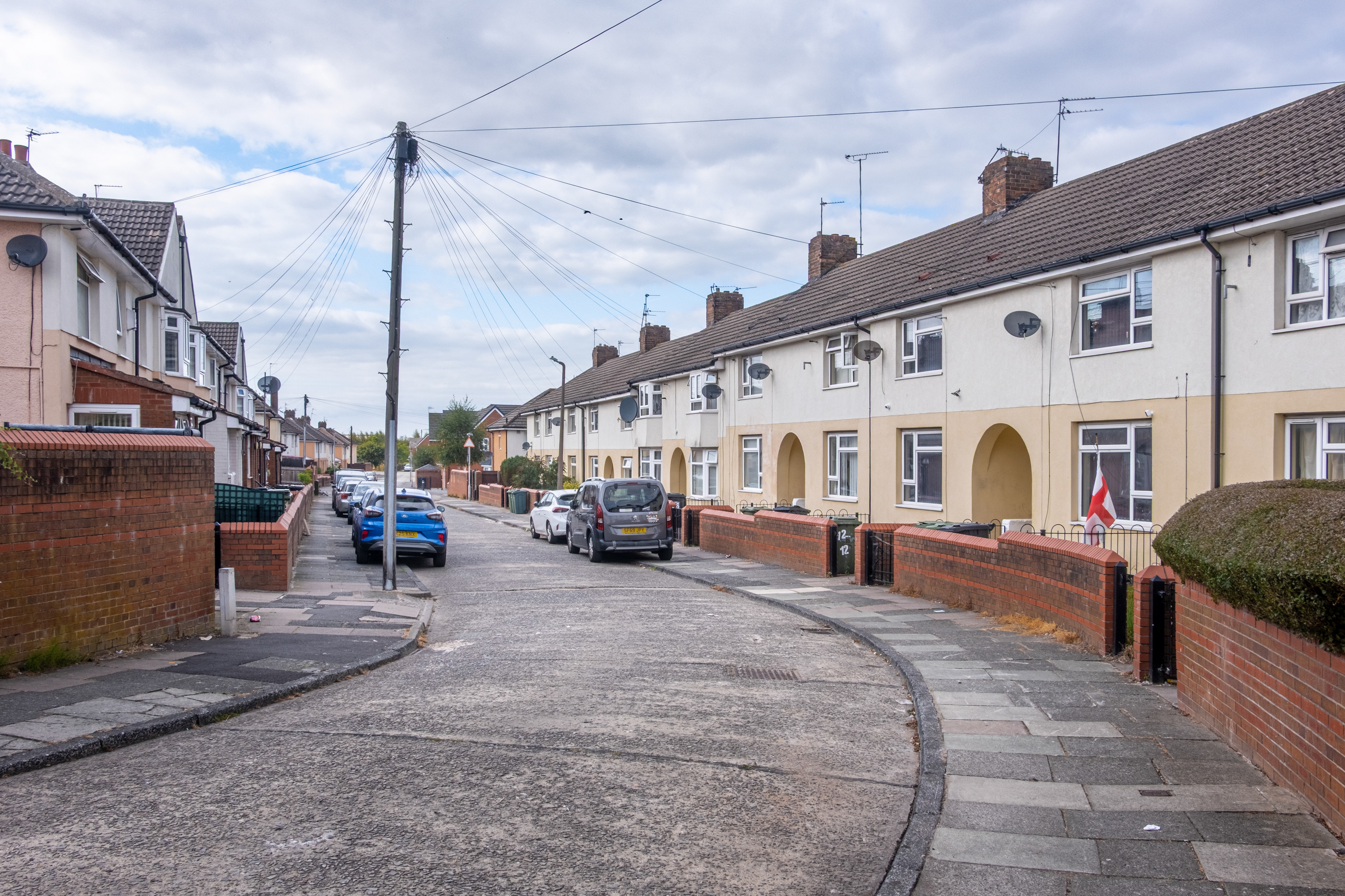
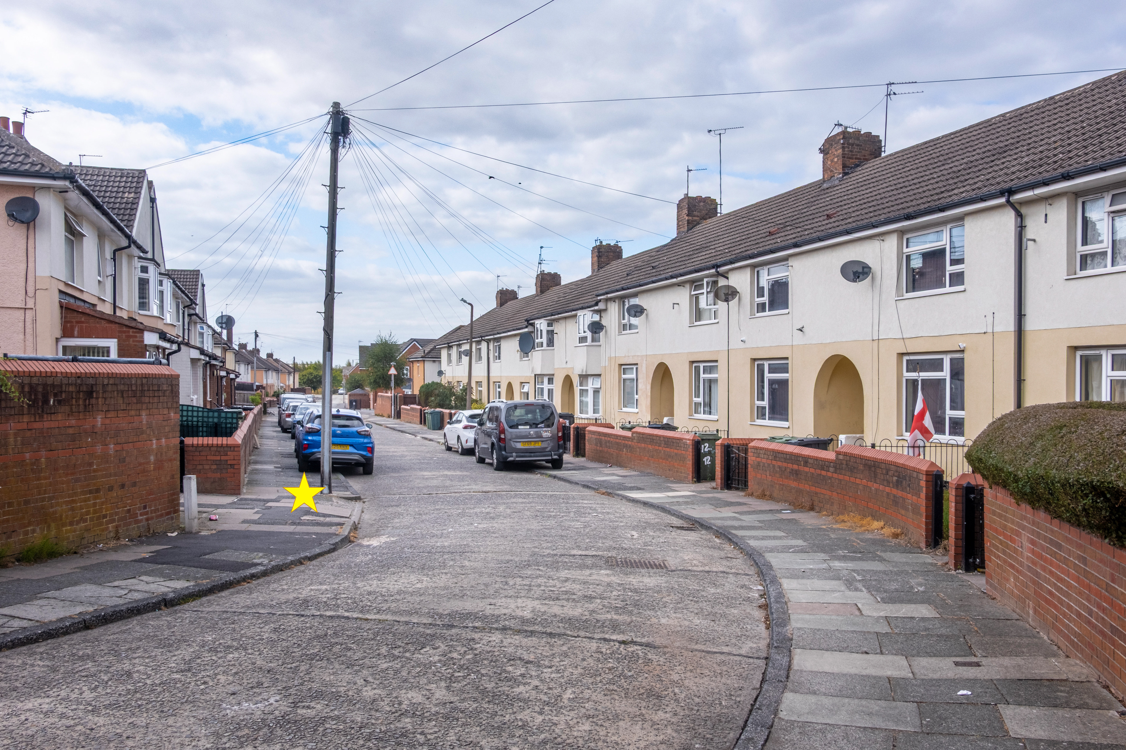
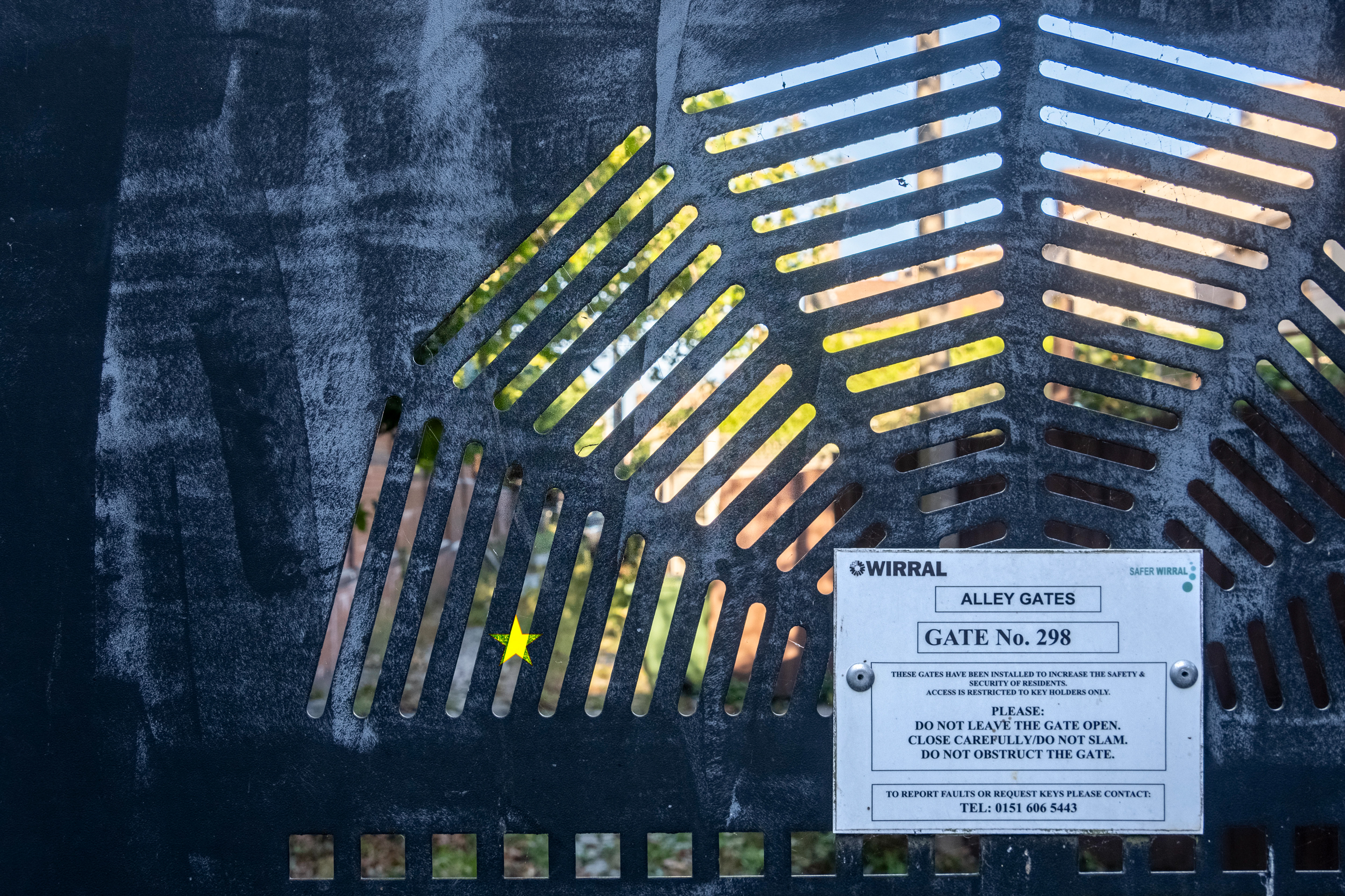
SJ 310 940 - New Brighton back alley

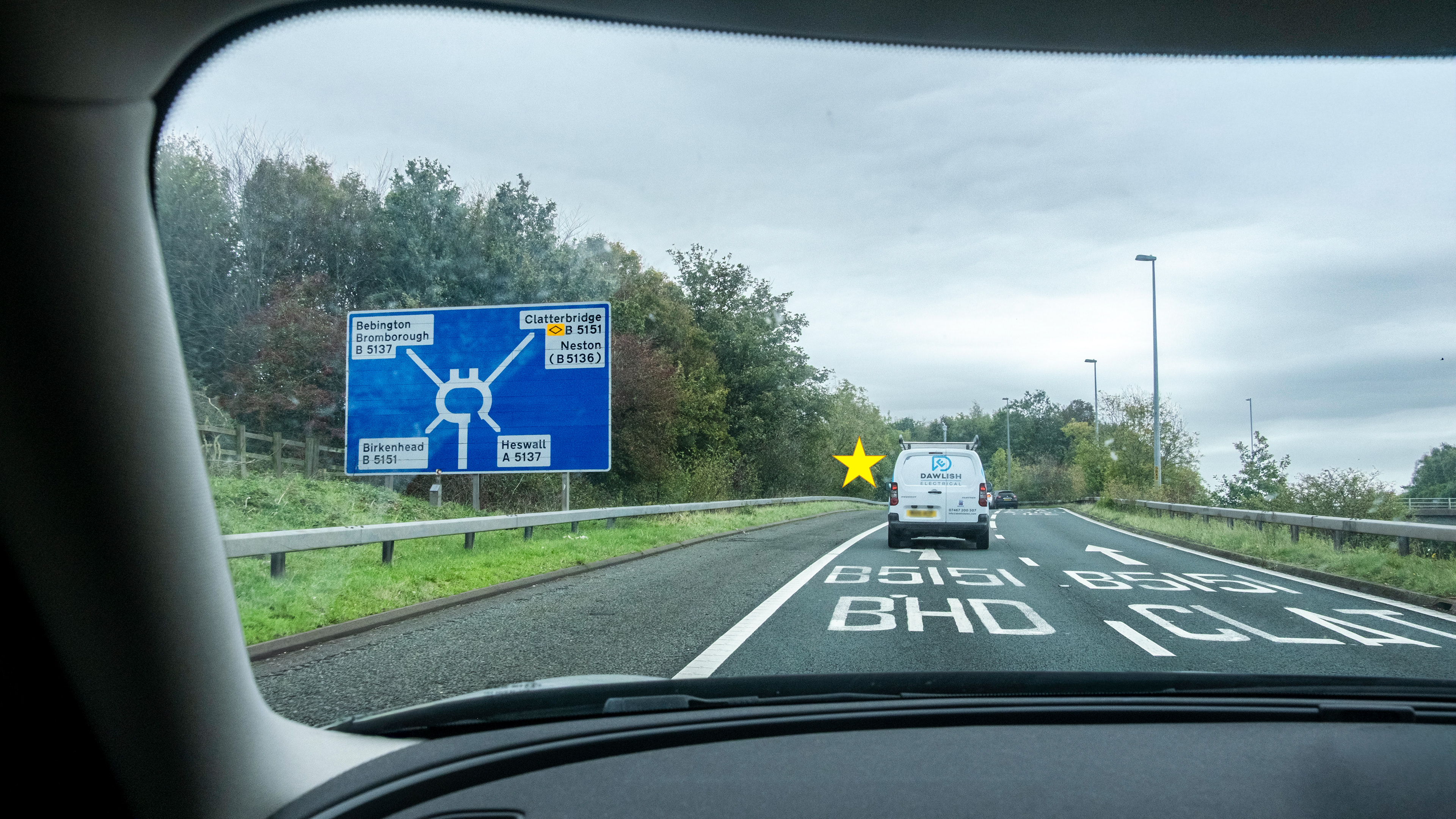
SJ 320 830 - Clatterbridge slip road, M53
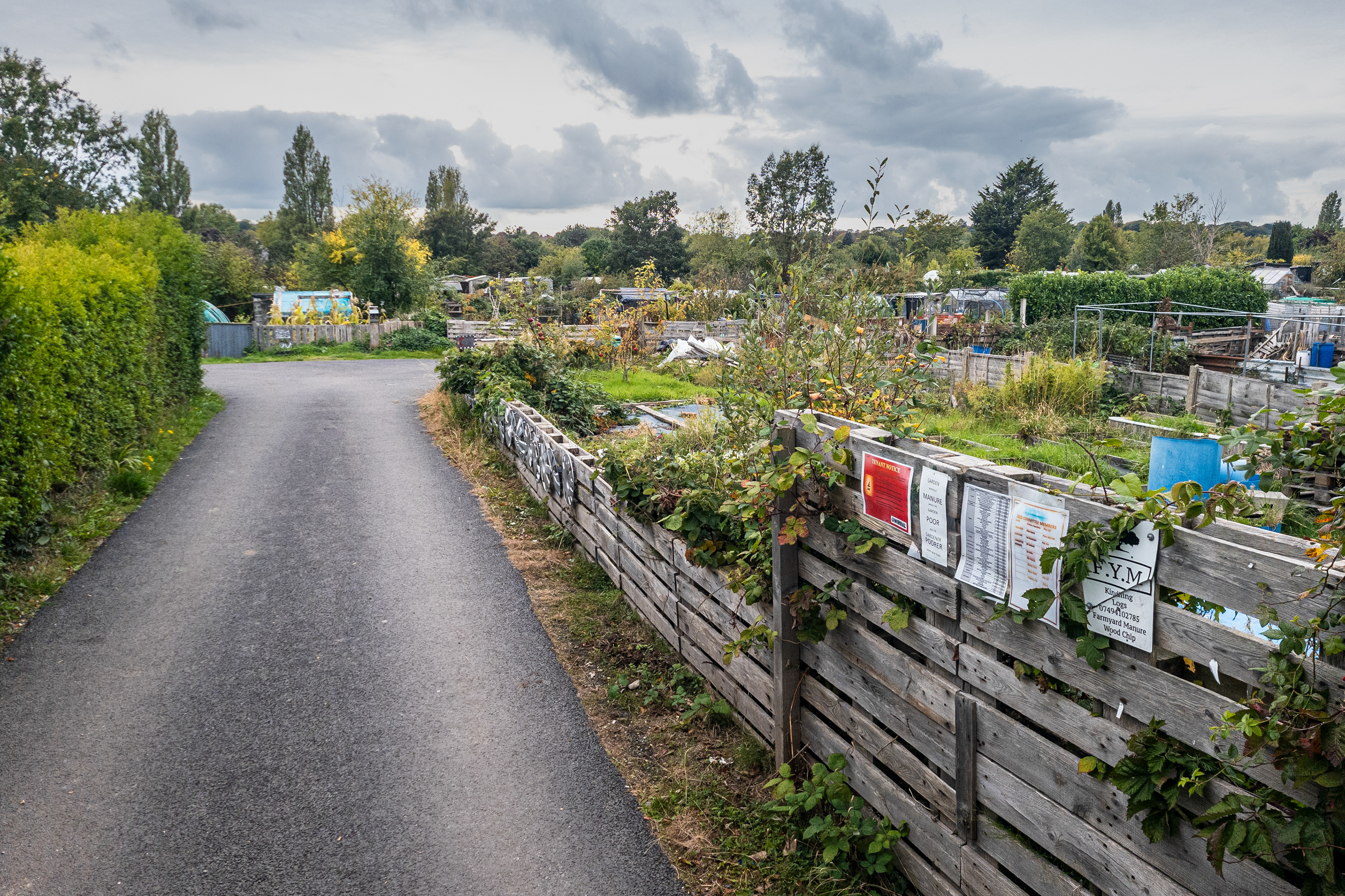
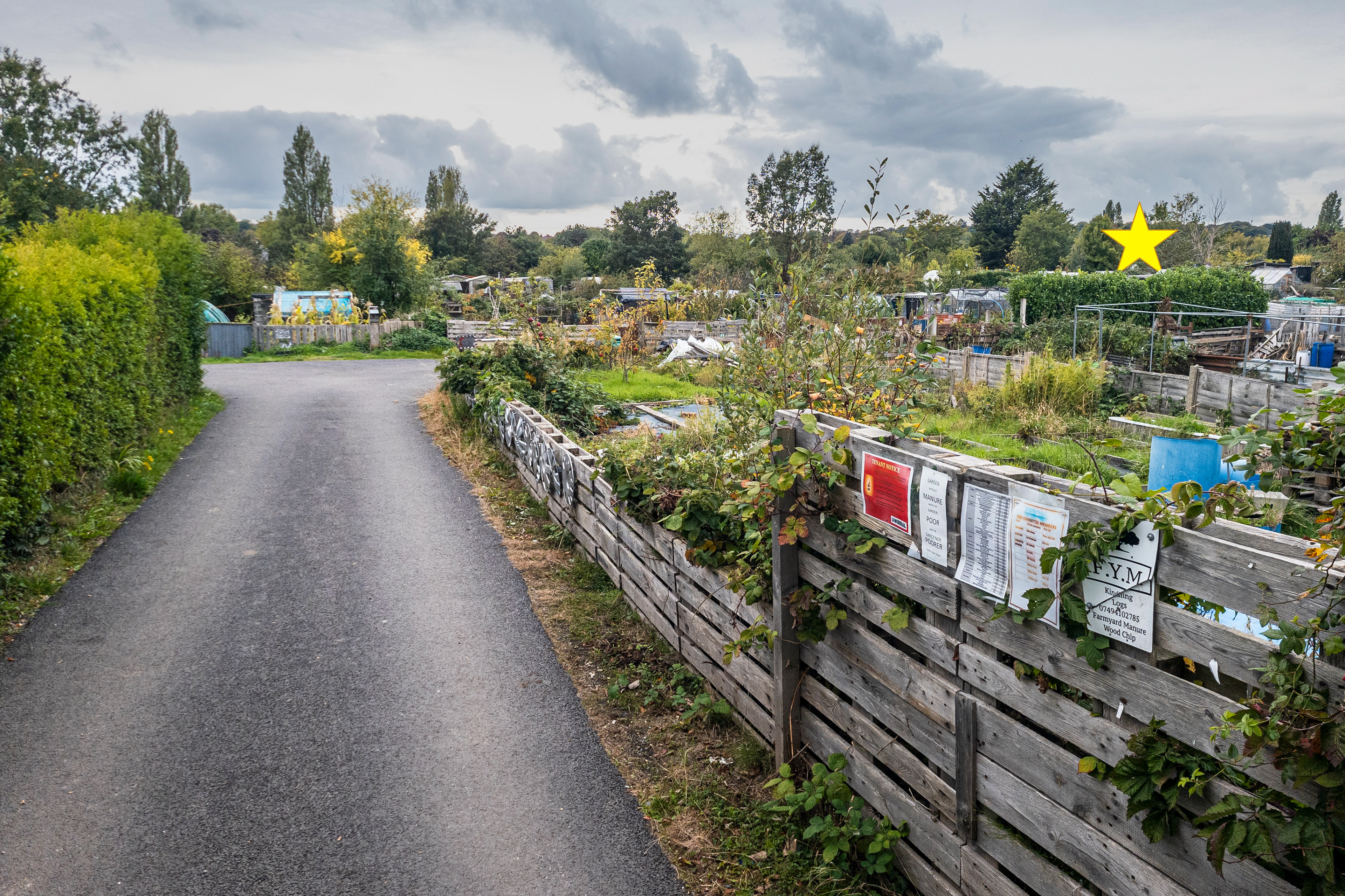
SJ 320 860 - Bebington allotments

SJ 320 890 - Vue Cinema, Birkenhead
SJ 320 900 - East Float dock
SJ 330 850 - The Oval
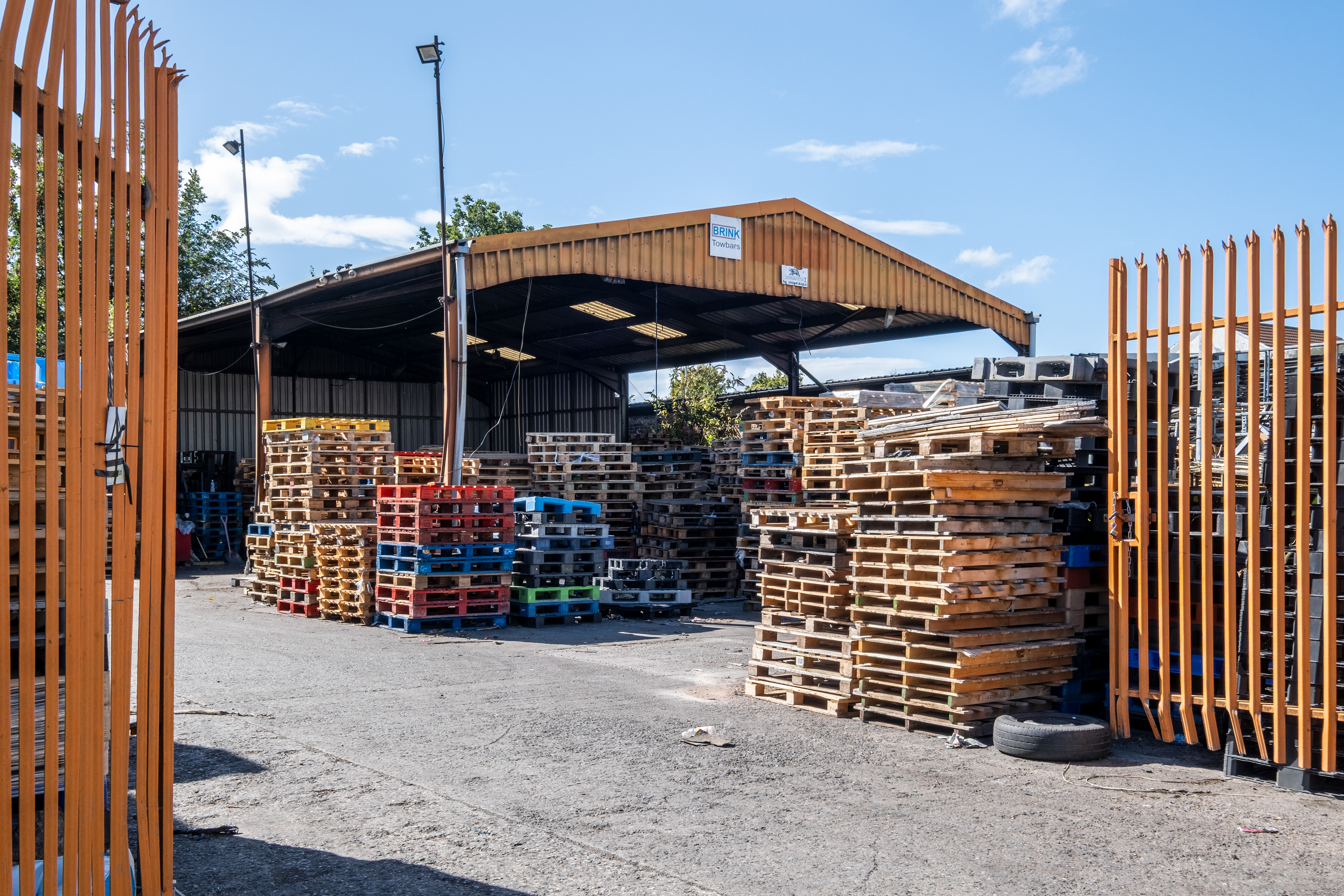
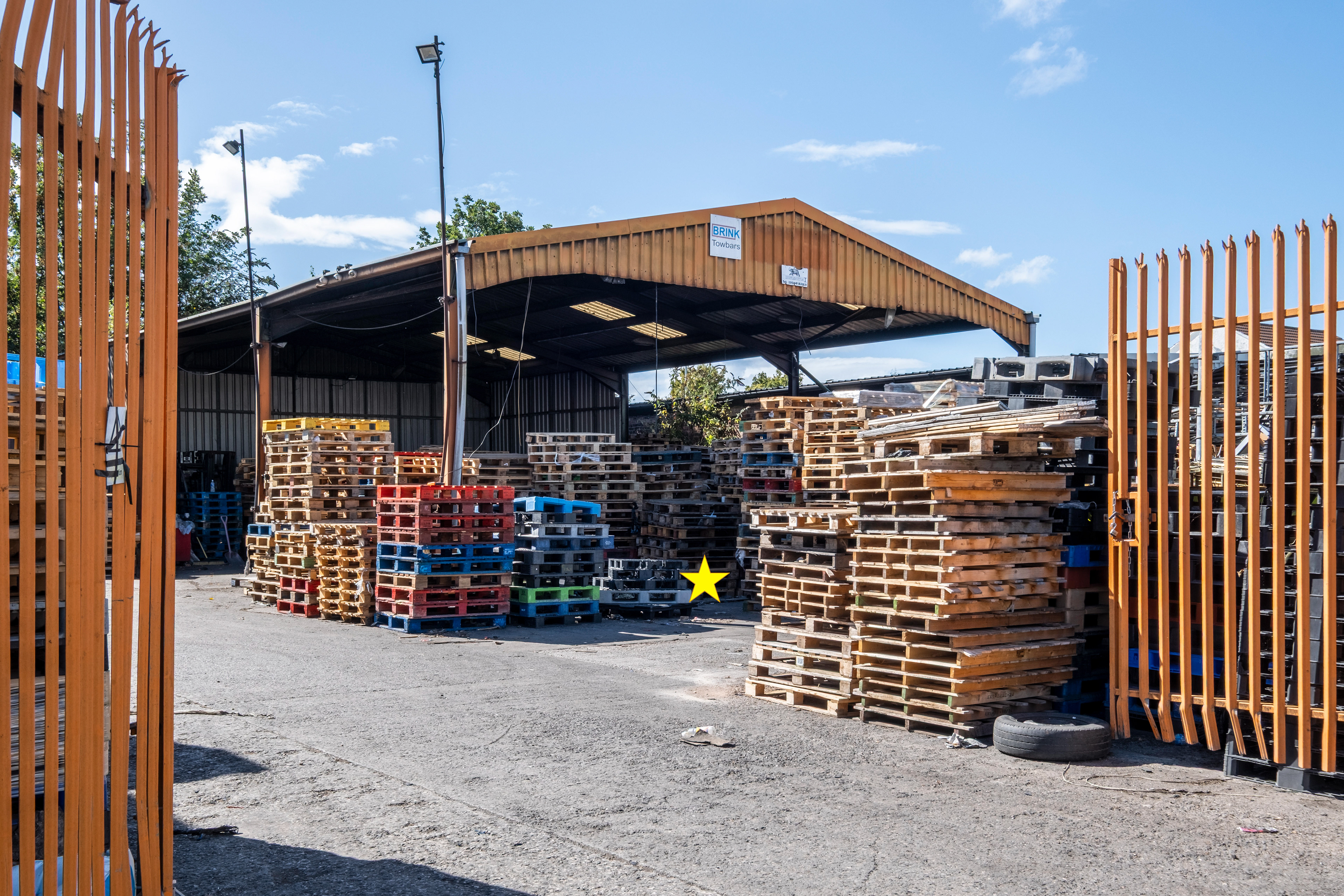
SJ 330 870 - A41 Pallet Services
SJ 330 880 - Cammell Laird

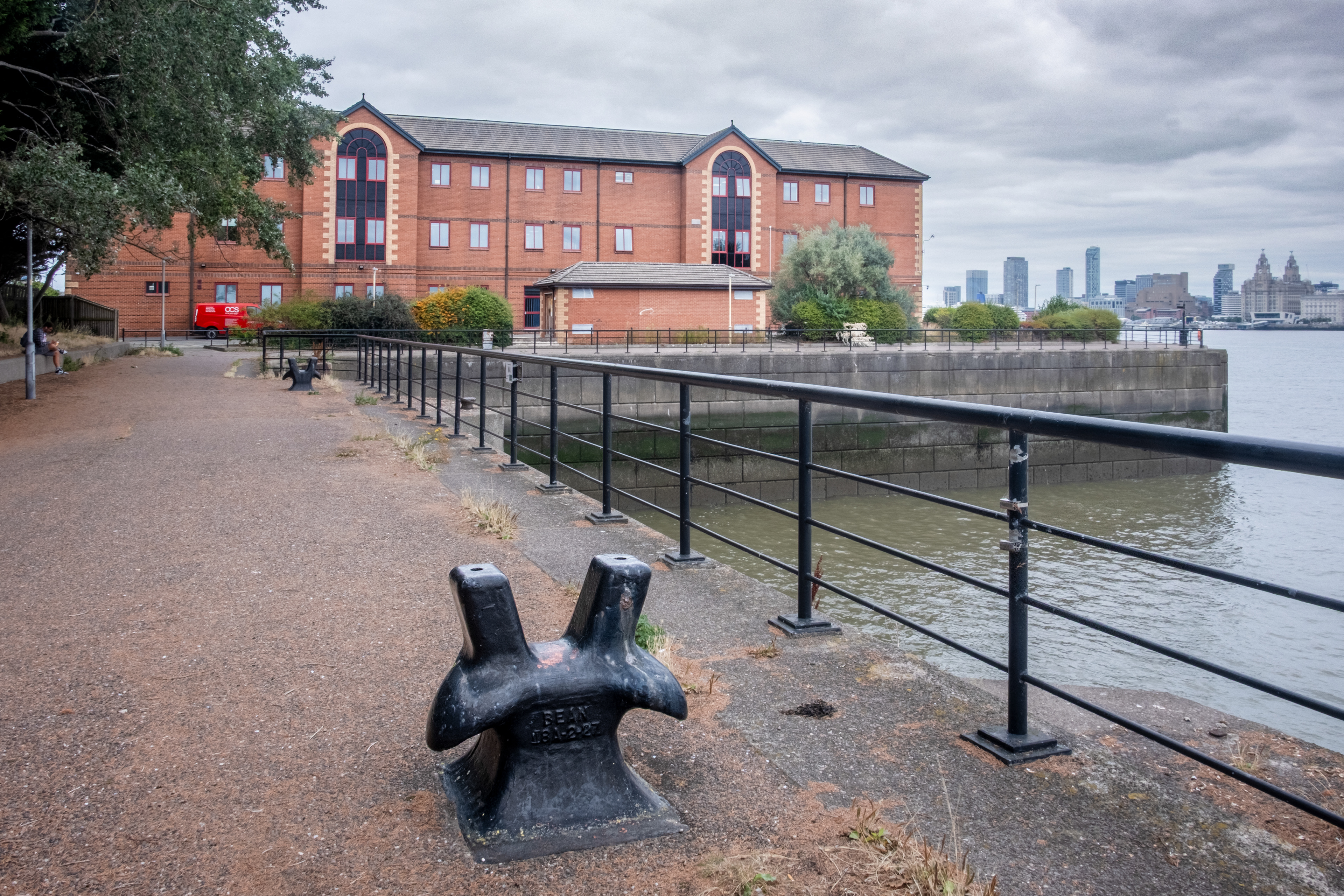
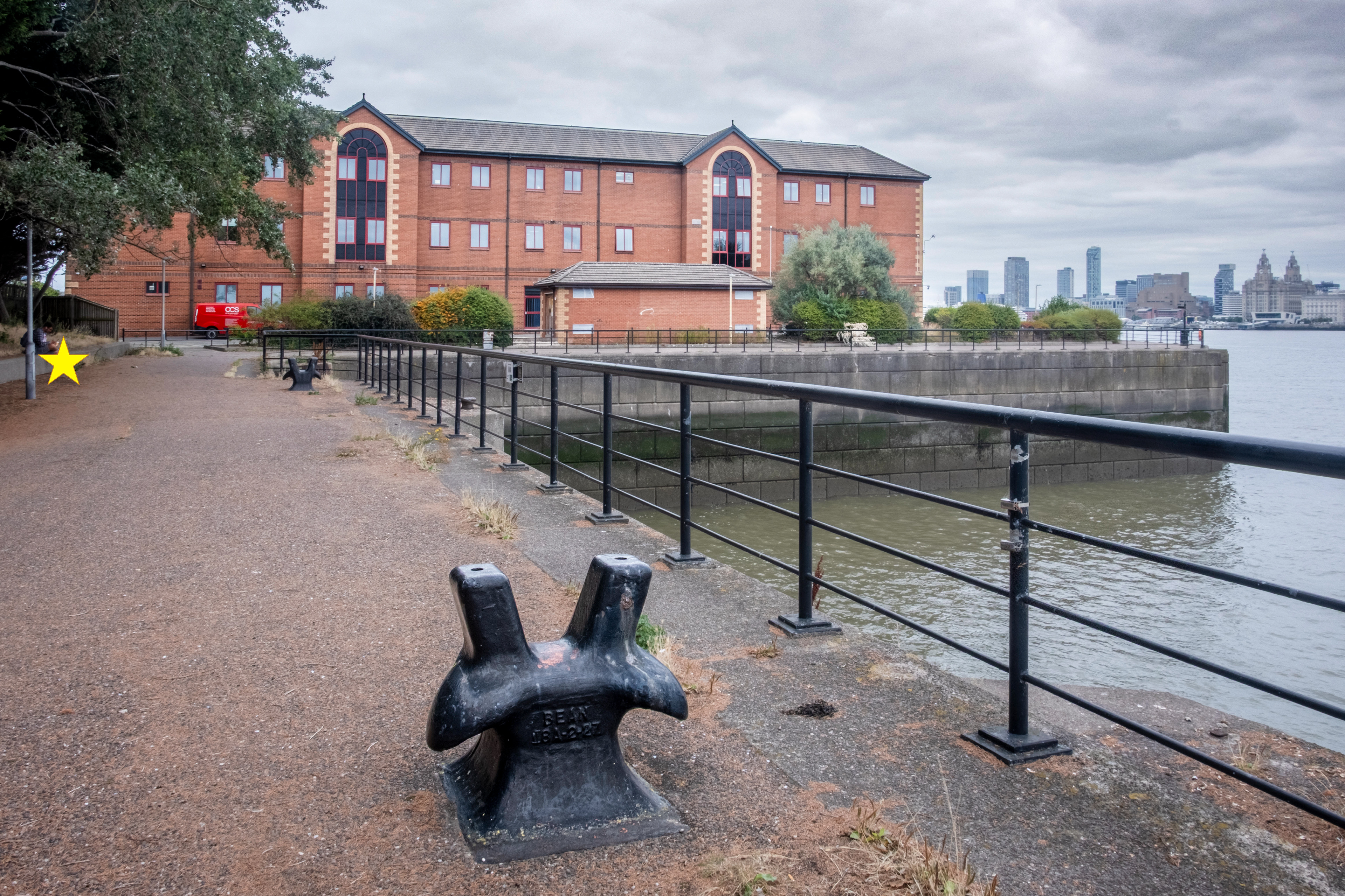
SJ 330 890 - Land Registry office, Woodside

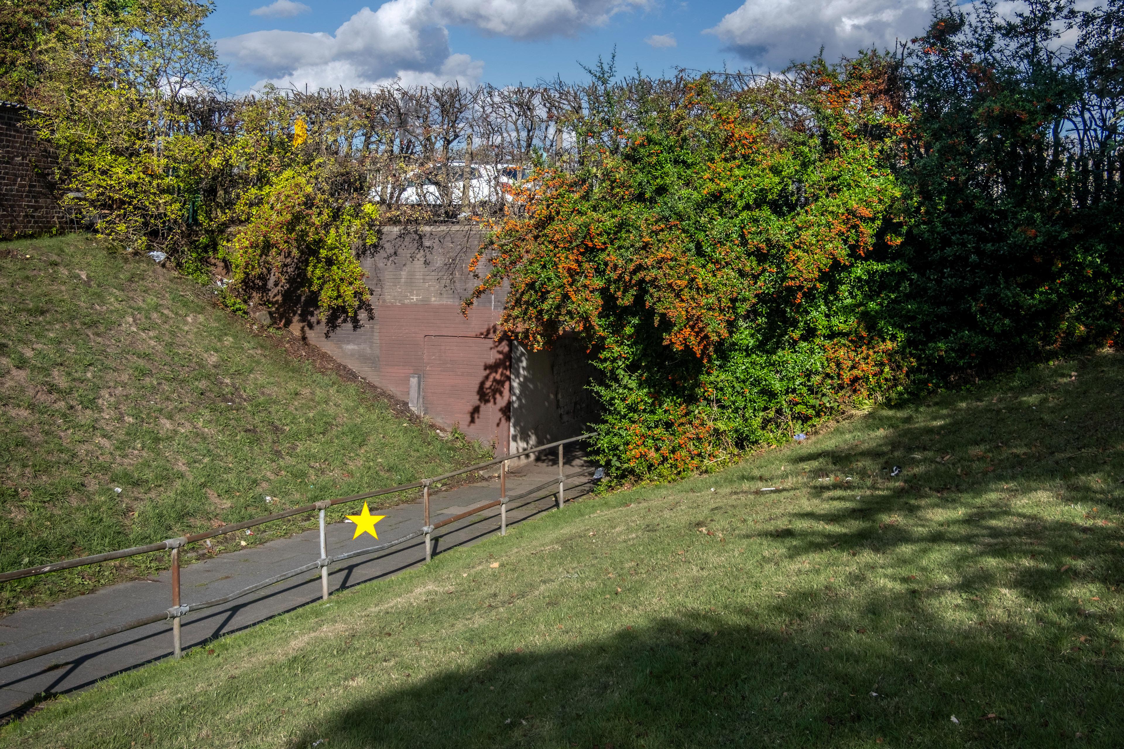
SJ 340 850 - New Ferry By-pass
SJ 340 870 - Rock Ferry Pier
SJ 350 850 - Bromborough Dock

SJ 360 800 - Eastham Village
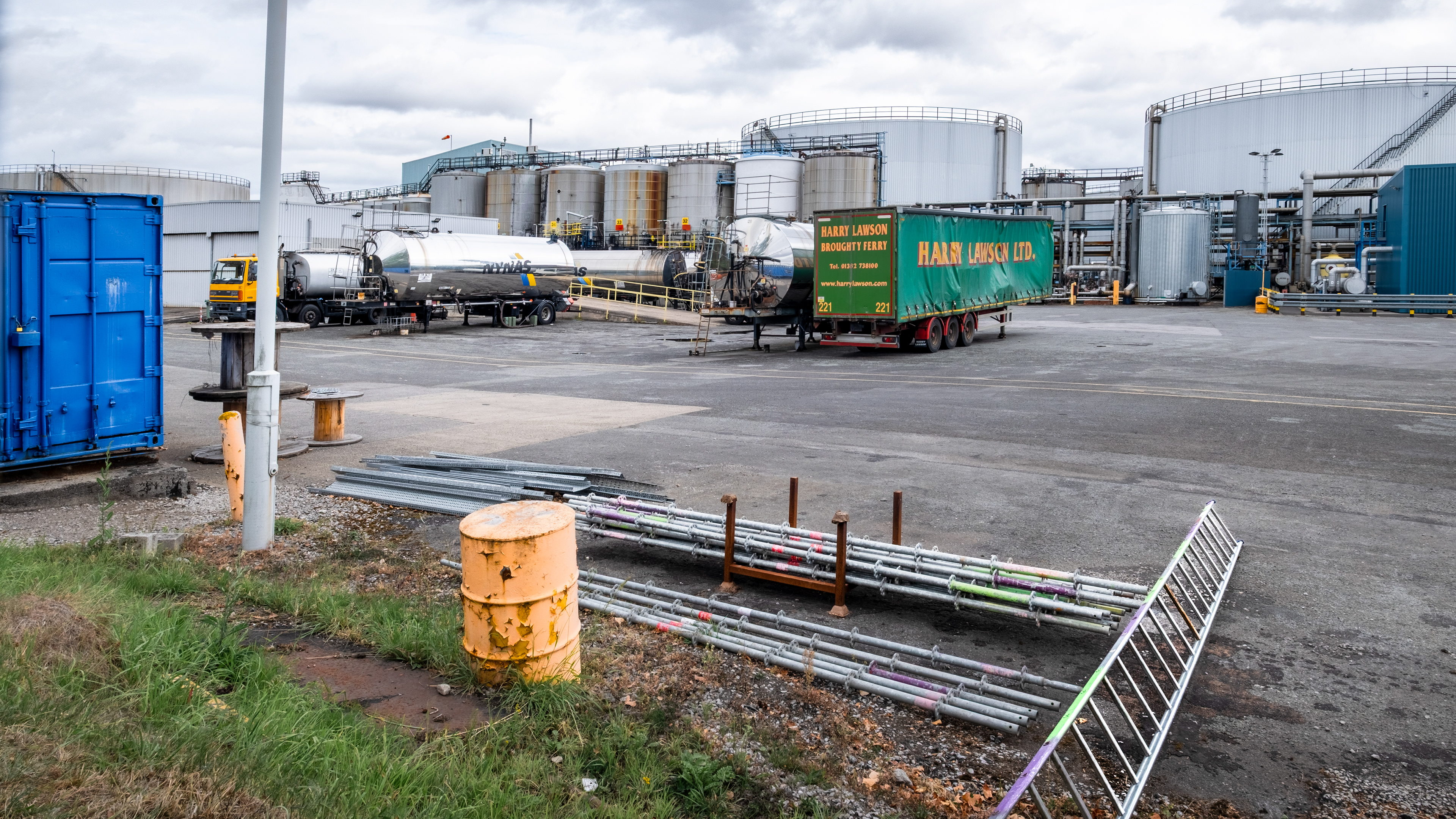
SJ 370 800 - Eastham Refinery

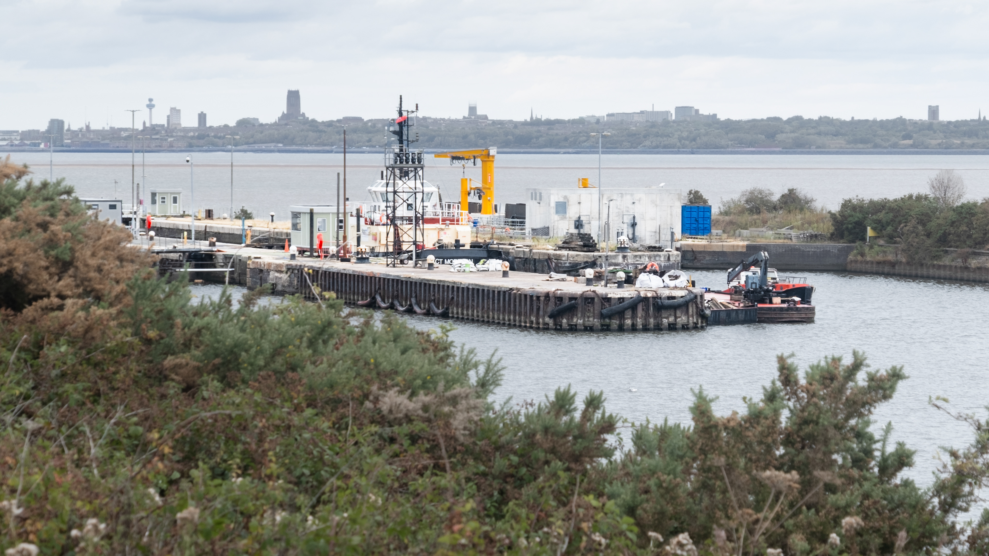
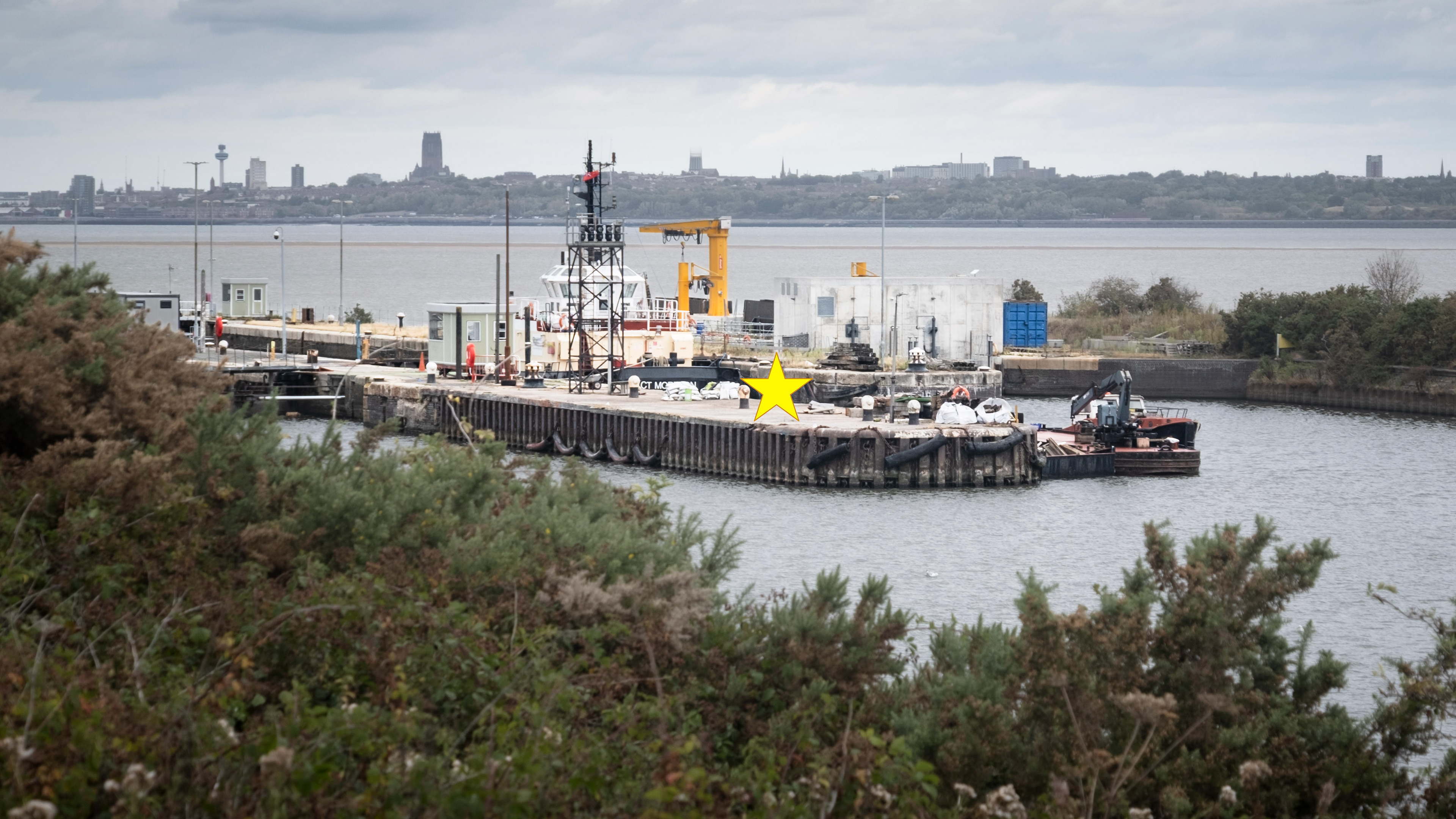
SJ 370 810 - Eastham Locks